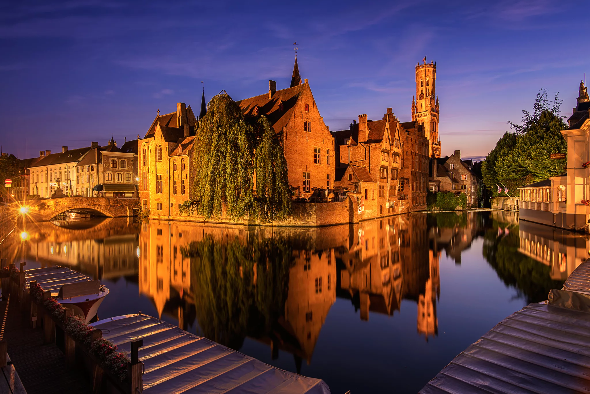


Belgium Typical view of Bruges
Bruges has so many beautiful old buildings near the canals inside the center of the town, but this view is maybe the most popular and memorable one. It's close to the market and it's the place where most of the water tours begin, which you really should do when you are in Bruges.
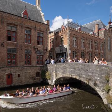
Photography tipp: Buy your ticket for the boat when none is currently available and access the waiting area down there to get a better perspective during the day.
Photography tipp: Buy your ticket for the boat when none is currently available and access the waiting area down there to get a better perspective during the day.
Photography Tips
Tripod + ND filter. Plan to be there a good 20 mins before the blue hour, as it is quite a busy place with lots of people wanting to take pictures and get the best spot.
Travel Information
There are some parking garages in Bruges which you should use when you are in Bruges by car. Everything in the center of the Belgian town lies within walking distance.
Spot Type
Outdoor
Crowd Factor
A decent amount of people
Best Timing
Blue hour/nighttime
Sunrise & Sunset
06:38 - 20:53
| current local time: 00:38
Photo Themes
Architecture
belfry
blue hour
blue sky
boats
Bridge
canal
canals
Church
City landscape
cityscape
Dijver Mansions
fog
historic
Historic building
Historical City
medieval
Night
night photography
nightscape
Old Town
Outdoors
Panoramic View
Romantic
Tourist Attraction
travel
tree
water
Spot Comments (3)