

Ireland Geokaun Mountain
Panoramic views over the west of county Kerry.
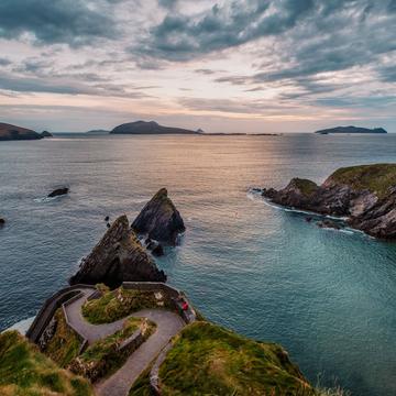
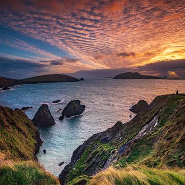
This is a multiple photo panorama of the north-west corner of the Ring of Kerry, Ireland, taken from the top of Geokuan mountain on Valentia Island.
Doulus Head is in the near background, with Beginish Island inside the headland.
Valentia Island Lighthouse sits just south of Beginish Island.
Further east the ferry crossing between Knight's Town on Valentia and Rennard Point on the mainland can be seen.
The town of Cahersiveen lies to the north.
Photography Tips
Try to time your visit here with good weather to improve the chances of a better view.
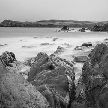
To the left and behind of this scene there are scenic sea cliffs - "The Fogher Cliffs"
To the left and behind of this scene there are scenic sea cliffs - "The Fogher Cliffs"
Travel Information
Valentia Island is accessible via a car ferry (Rennard to Knight's town) or a road bridge at Port Magee. The mountain itself is private land, but is accessible for a very modest fee (I think about €4) which is used to maintain roads, car parks and trails. You can drive right to the top!!
Spot Type
Outdoor
Crowd Factor
Just a few people
Best Timing
Summer
Sunrise & Sunset
06:32 - 20:47
| current local time: 06:17
Photo Themes
Landscape
Panoramic View
Locations
Kerry
Valentia Island
Spot Comments (0)