
Australia Mereenie Loop
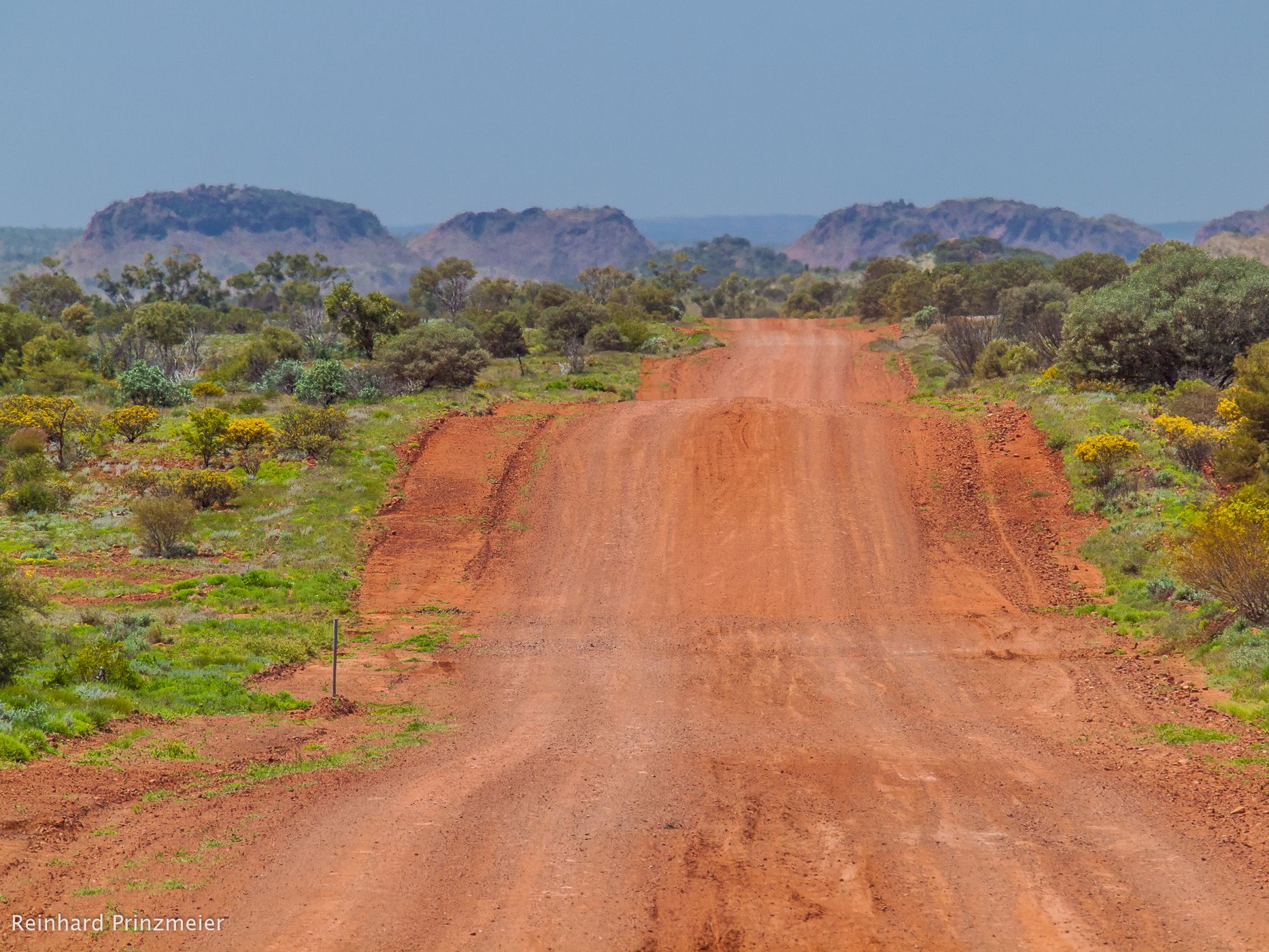
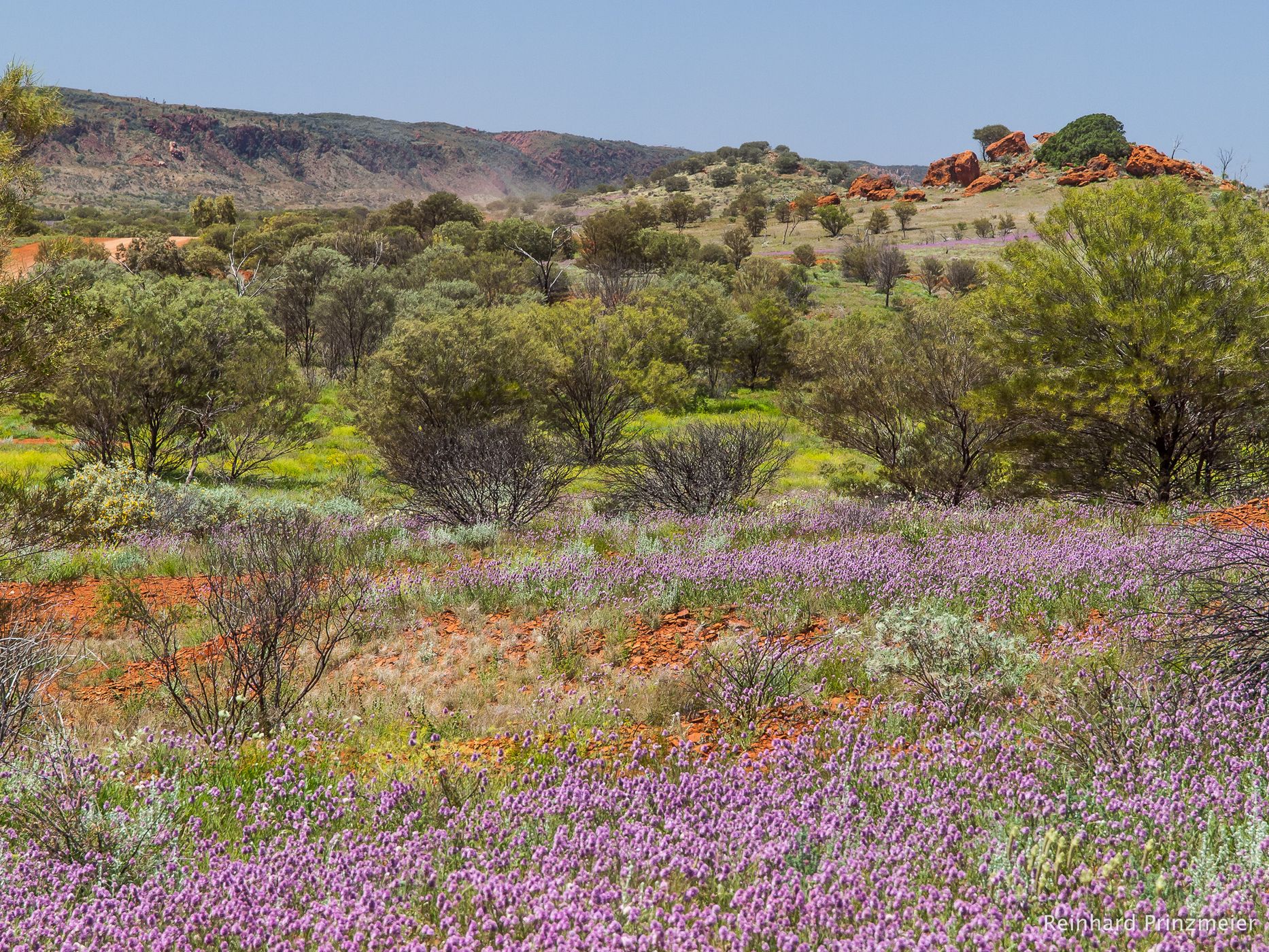
The Mereenie Loop Road between Peterman and West MacDonnell Ranges, west of Alice Springs, leads on Aboriginal land through outback at its best.
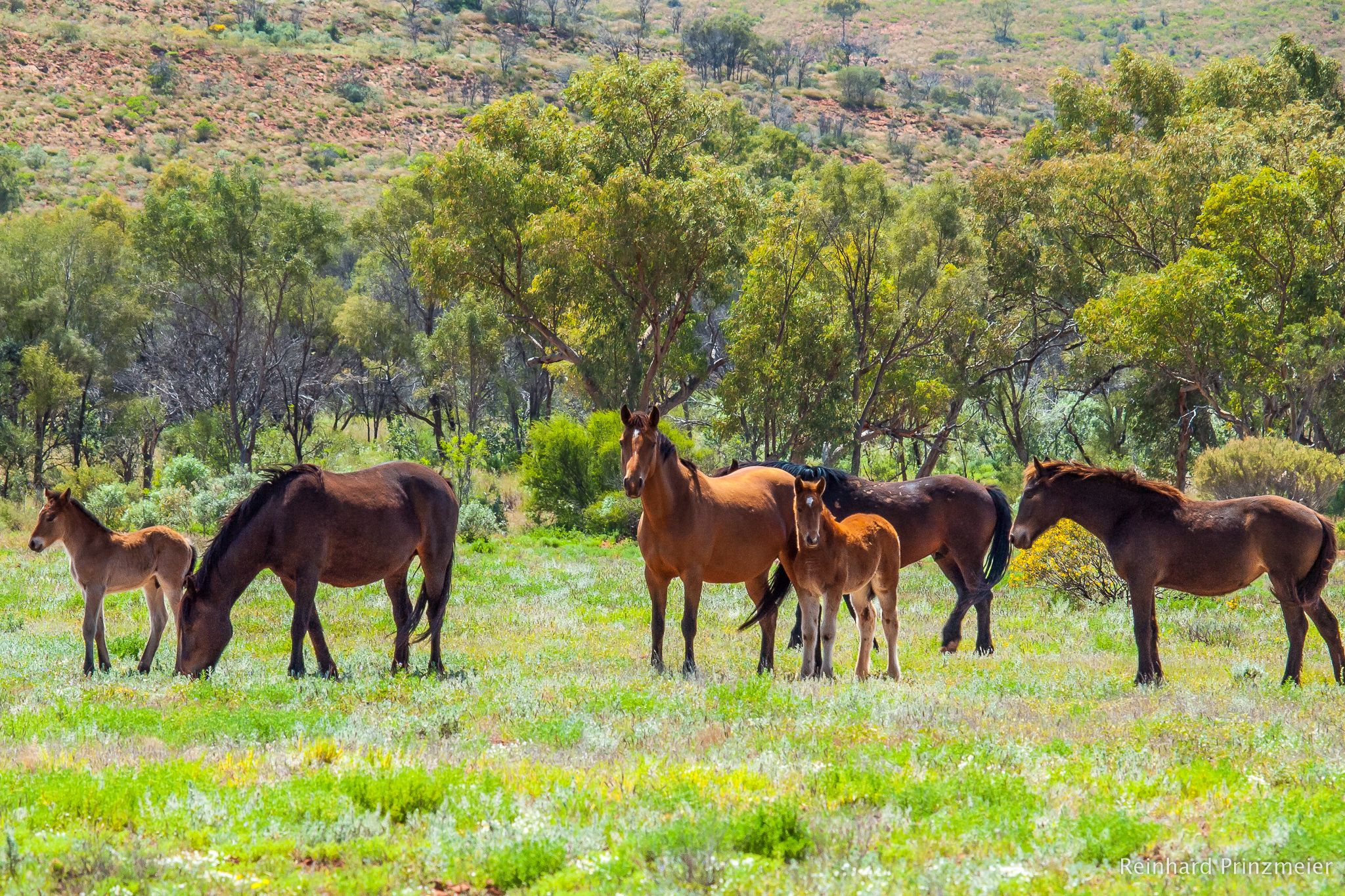
In the Mereenie Valley, a herd of wild horses graze next to the Mereenie Loop Road: Brumbies, Australia's Mustangs.
In the Mereenie Valley, a herd of wild horses graze next to the Mereenie Loop Road: Brumbies, Australia's Mustangs.
Travel Information
As the road is on Aboriginal land a permit is required, which is only available on the day of the trip.
Except for a short stretch near Peterman, the loop is a gravel road and 4x4 vehicles are recommended. There are many places along the road where you can park a vehicle and take photographs.
Ginty's Lookout, not far from the Peterman, is the only place where you may go farther than 50 meters from the roadsides.
Spot Type
Outdoor
Crowd Factor
Nearly no other people
Best Timing
All timings are equally good
Sunrise & Sunset
07:23 - 18:14
| current local time: 06:10
Photo Themes
Gravel Road
Outback
wilderness
Locations
Kings Canyon
Peterman
Spot comments (0)