

Belgium Viaduct La Venne
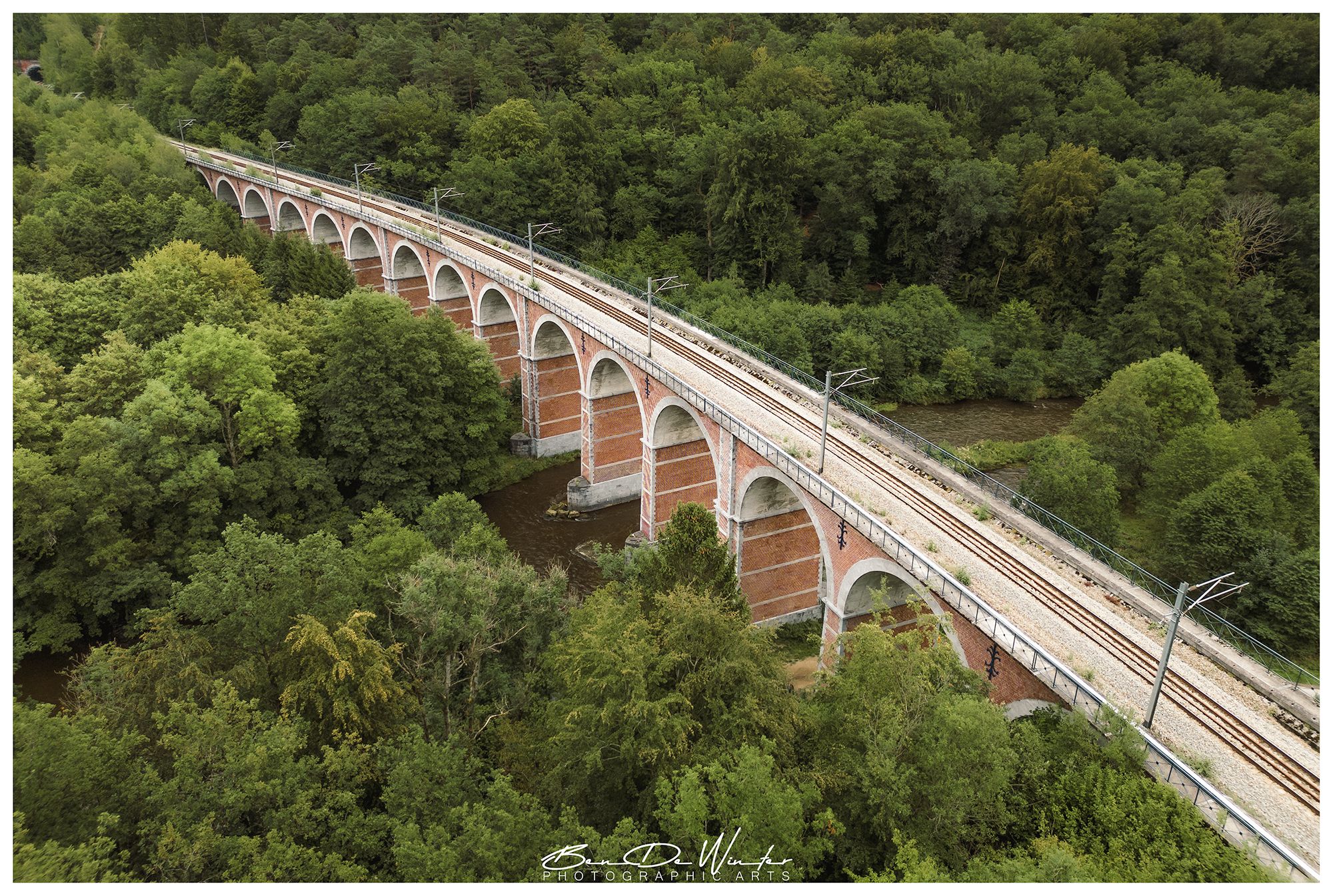
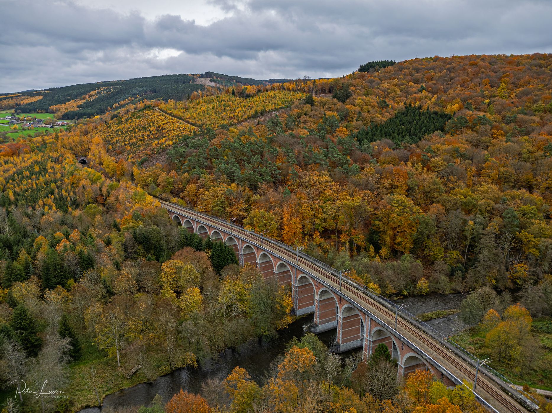
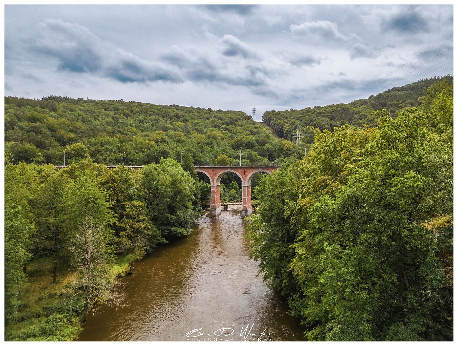
The Viaduct of La Venne (French: Viaduc de la Venne, Dutch: Viaduct van Vennes) is a historic railway viaduct located in La Venne, a hamlet in the municipality of Stoumont, in the province of Liège, Belgium.
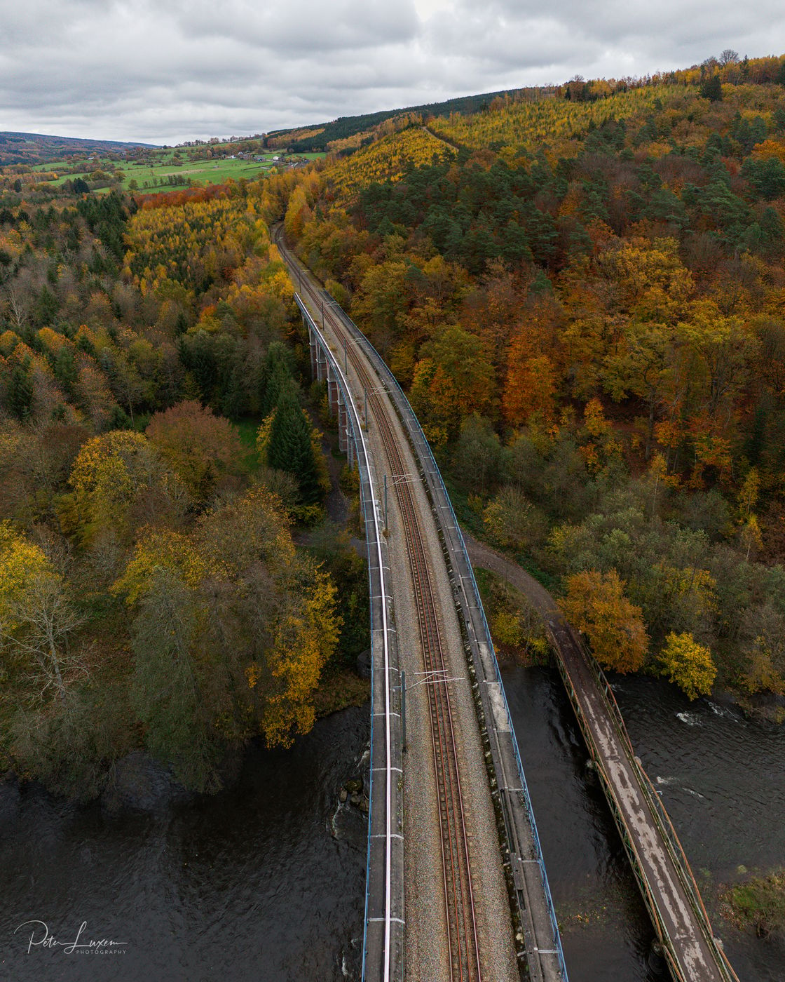
The viaduct is nestled in a wooded and hilly area, making it difficult to photograph in its entirety. It is flanked by two tunnels: the Roanne-Coo Tunnel to the east and the La Venne Tunnel to the west.
Due to its remote location and dense vegetation, it remains one of the lesser-known but architecturally significant railway structures in Belgium.
The viaduct is nestled in a wooded and hilly area, making it difficult to photograph in its entirety. It is flanked by two tunnels: the Roanne-Coo Tunnel to the east and the La Venne Tunnel to the west.
Due to its remote location and dense vegetation, it remains one of the lesser-known but architecturally significant railway structures in Belgium.
Photography Tips
Since the viaduct is surrounded by dense forest and located in a valley, it is hard to photograph in full from ground level.
The limited viewpoints will require you to explore nearby trails or elevated spots for better angles.
Use a wide-angle lens to capture the full span of the arches from below. Try low-angle shots from the base to emphasize the height and symmetry.
A drone offers the best chance to capture the entire viaduct from above or side-on. Check local regulations before flying.
The limited viewpoints will require you to explore nearby trails or elevated spots for better angles.
Use a wide-angle lens to capture the full span of the arches from below. Try low-angle shots from the base to emphasize the height and symmetry.
A drone offers the best chance to capture the entire viaduct from above or side-on. Check local regulations before flying.
Travel Information
The viaduct is located near the hamlet of La Venne, in the municipality of Stoumont, province of Liège. It's accessible via local roads from La Gleize or Petit Coo.
GPS Coordinates: Approx. 50.419° N, 5.837° E
Nearby Towns: La Gleize, Stoumont, Trois-Ponts.
There are small parking areas near hiking trailheads around La Venne, typically within 15–50 meters of the trails.
GPS Coordinates: Approx. 50.419° N, 5.837° E
Nearby Towns: La Gleize, Stoumont, Trois-Ponts.
There are small parking areas near hiking trailheads around La Venne, typically within 15–50 meters of the trails.







Spot comments (1)