
Bosnia and Herzegovina Lukomir
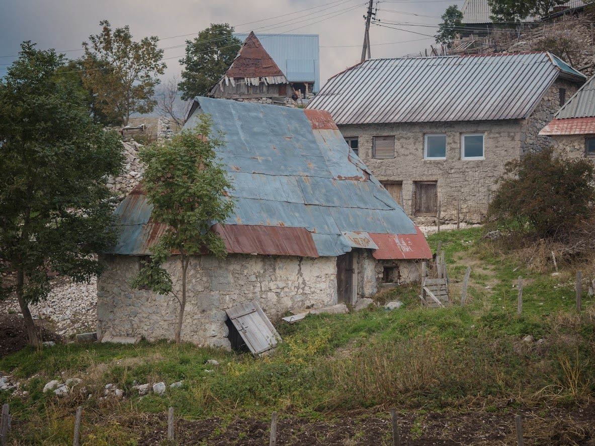
The village of Lukomir is situated along the southern ridge of Bjelašnica and, at 1,495 m, it’s the highest inhabited settlement in BiH and the only one above 1,300 m. The village lies within Konjic Municipality and it can be reached from either Konjic (ca 30 km) or Sarajevo (45 km). A drive along the road from the center of Sarajevo, which passes over Babin Do to Bjelašnica, takes about 90 minutes. Most of the road is paved and the final stretch of 11 km is a windy gravel road that takes you through a barren karst region, as well as flowery meadows.
Lukomir can also be reached via two mountain paths that lead from the village of Umoljani on Bjelašnica. (Wikipedia)
Lukomir can also be reached via two mountain paths that lead from the village of Umoljani on Bjelašnica. (Wikipedia)
Spot Type
Outdoor
Crowd Factor
Nearly no other people
Best Timing
Daytime in summer
Sunrise & Sunset
05:23 - 20:23
| current local time: 04:14
Photo Themes
House
old
Village
Locations
Balkan
Bosnia and Hercegovina
lukomir


Spot comments (0)