

Bosnia and Herzegovina Road to Lukomir
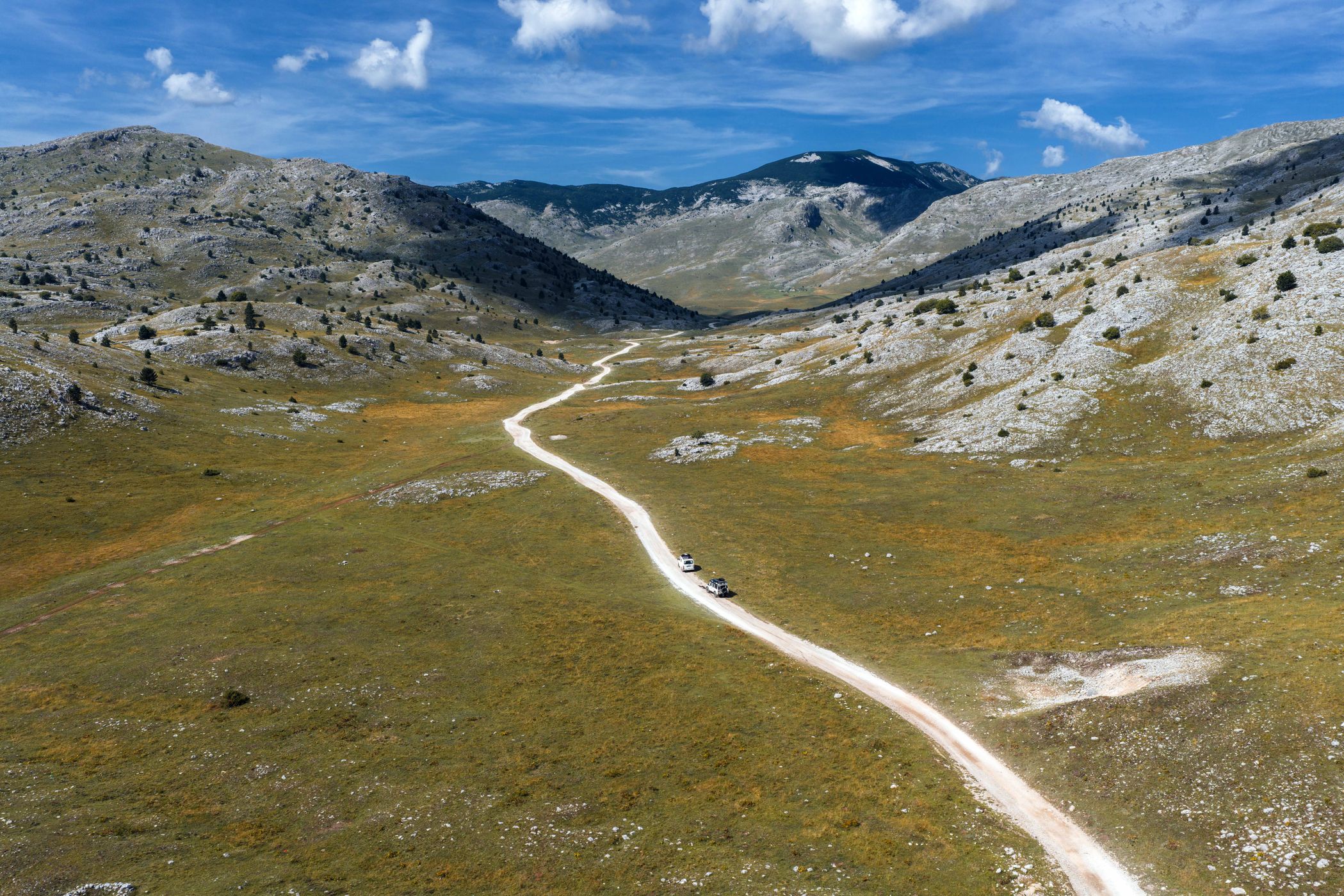
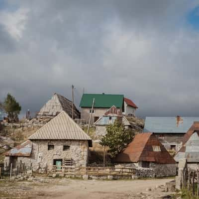
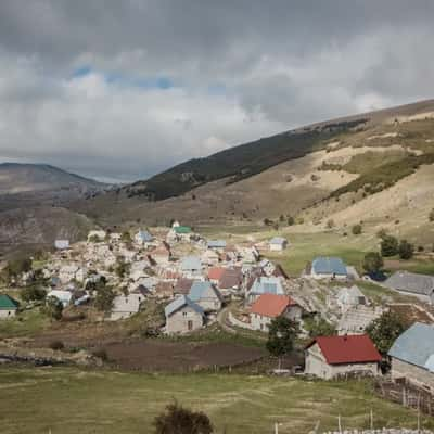
This drone view captures the winding road leading up to Lukomir, cutting through the dramatic Bjelašnica Mountains above the Rakitnica Canyon. From above, the road, surrounding slopes, and distant village rooftops form a striking aerial composition, highlighting the remote and mountainous location.
Photography Tips
Drone photography works best in early morning or late afternoon for warm, soft light and long shadows. Mist in the valleys can create a mystical mood, while clear skies reveal the full contrast of green slopes, rocky cliffs, and the winding road. Flying high gives a dramatic perspective of the village’s isolation and the canyon below. We did the shot during daylight.
Travel Information
The road to Lukomir is about 1 hour and 20 minutes from Sarajevo. The final section is gravel and can be rough, so a high-clearance vehicle is recommended. Always follow local drone regulations and avoid flying too close to residents or wildlife.





Spot comments (0)