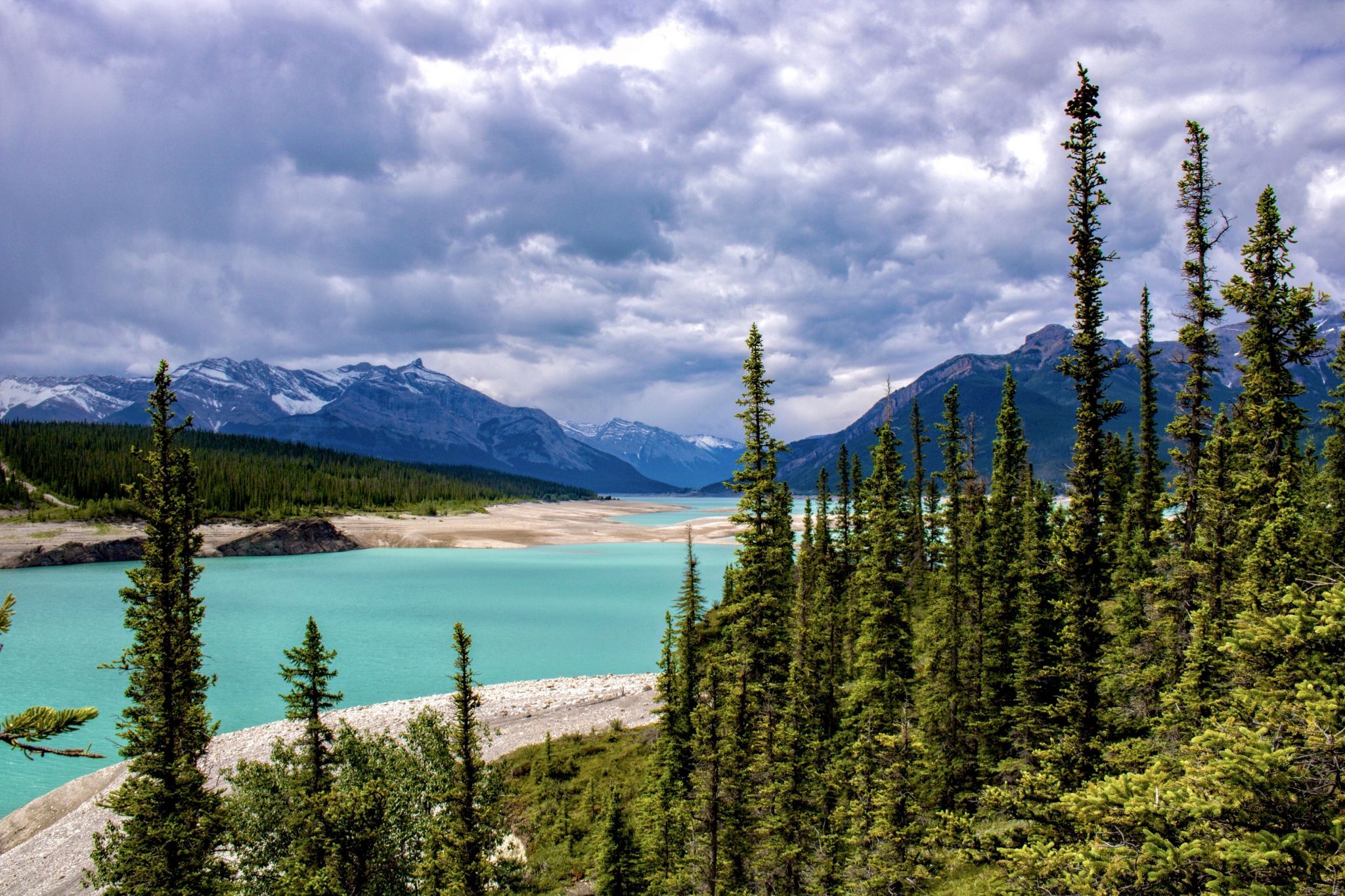

Canada Lake Abraham
An artificial lake on the North Saskatchewan River lining the David Thompson Highway between Saskatchewan River Crossing and Nordegg. It was created in 1972 with the construction of the Bighorn Dam. Although man-made, it still has the blue colour of other glacial lakes in the Rocky Mountains. Known for bizarre frozen methane bubbles during winter.
Travel Information
From the intersection of Hwy. 93 (Icefields Parkway) and Hwy. 11 (David Thompson Highway) drive north on Hwy 11 for 67km. Turn right on Range Road 170B and drive approximately 4km to a dirt road on the right. Turn here drive 900 meters and park.
Spot Type
Outdoor
Crowd Factor
No info yet
Best Timing
All timings are equally good
Sunrise & Sunset
05:46 - 21:57
| current local time: 13:10
Photo Themes
Lakescape
Locations
Alberta


Spot comments (0)