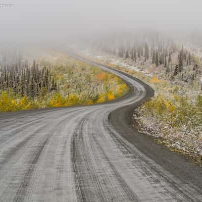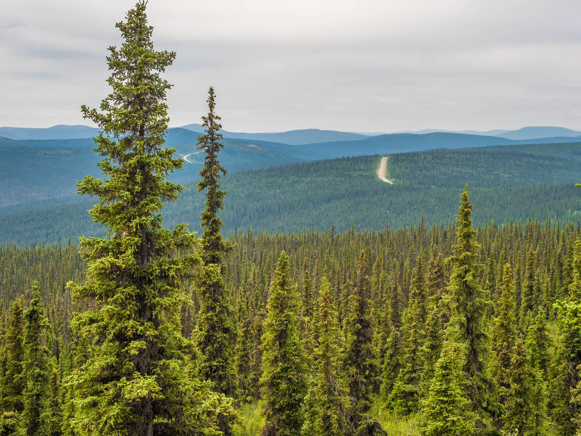


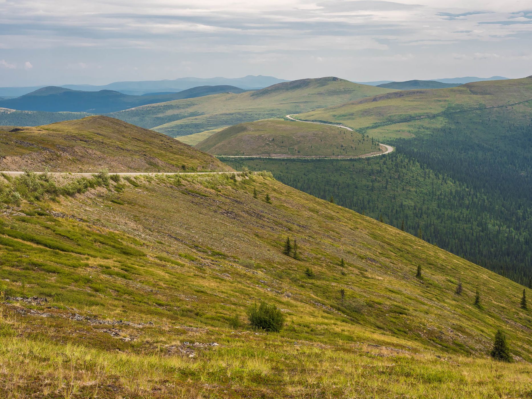
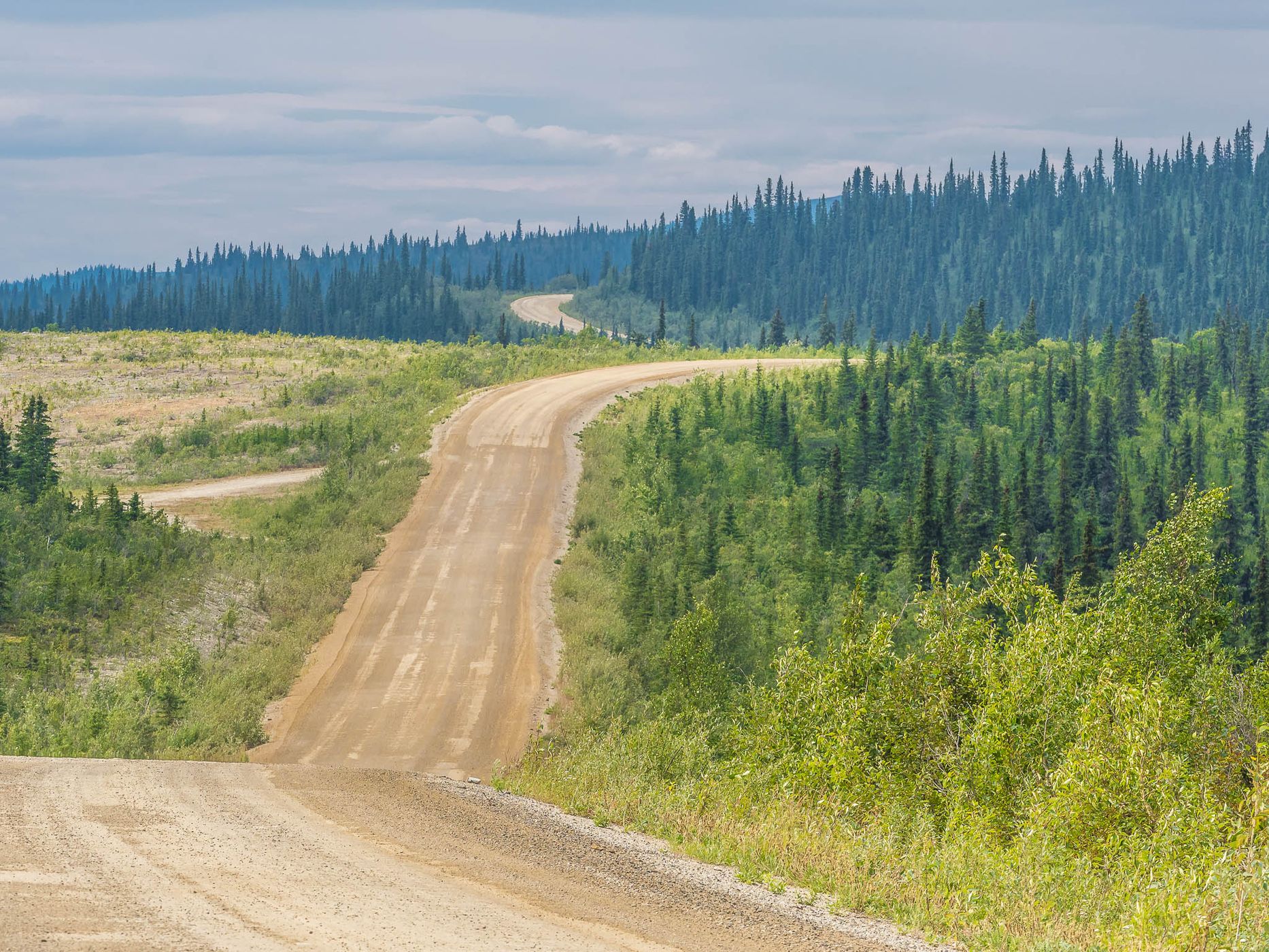
Top of the World Highway, Canada
Reinhard Prinzmeier
Reinhard Prinzmeier www.herumkommer.de/uns…
licensable
Top of the World Highway, Canada
Reinhard Prinzmeier
Reinhard Prinzmeier www.herumkommer.de/uns…
licensable
Top of the World Highway, Canada
Reinhard Prinzmeier
Reinhard Prinzmeier www.herumkommer.de/uns…
licensable
This photo is copyrighted by the author.
Thank you for respecting the rights and efforts of our photographers. Please contact the author for further information.

Canada Top of the World Highway

  • Please log in or sign up for free to see the GPS coordinates & weather for this photo spot
The Top of the World Highway is a 127 km-long (79 mi) gravel road that connects Dawson City in Yukon (Canada) and the Taylor Highway in Alaska (USA). It passes the border station Poker Creek / Little Gold Creek. Usually it is impassable and closed for about 9 months every year and open only in summer.

Travel Information

At Dawson the road begins (or ends) at the Yukon River ferry, in Alaska at a junction with the Taylor Highway. There is little trafic on this broad road and there are many places to park a vehicle.
Spot Type Outdoor
Crowd Factor Nearly no other people
Best Timing Summer
Sunrise & Sunset 06:28 - 22:19 | current local time: 05:00
Photo Themes country road dirt road Gravel Road Mountain Road Road Trip roadtrip winding road
Locations Dawson City Yukon

Get the exact geo-position for this spot

Log in to see the GPS coordinates, sun directions, and the map for this photo spot. Or simply bookmark it along with other spots to plan your next trip.

Spot comments (0)

Please log in or sign up for free to leave a comment or ask a question.

Ratings (1) star star star star star

star star star star star
1
star star star star star
0
star star star star star
0
star star star star star
0
star star star star star
0

Popular photo spots in this region

Thank you Reinhard Prinzmeier for creating this photo spot in Canada.
Imprint & Contact © Locationscout 2026 Privacy / Terms