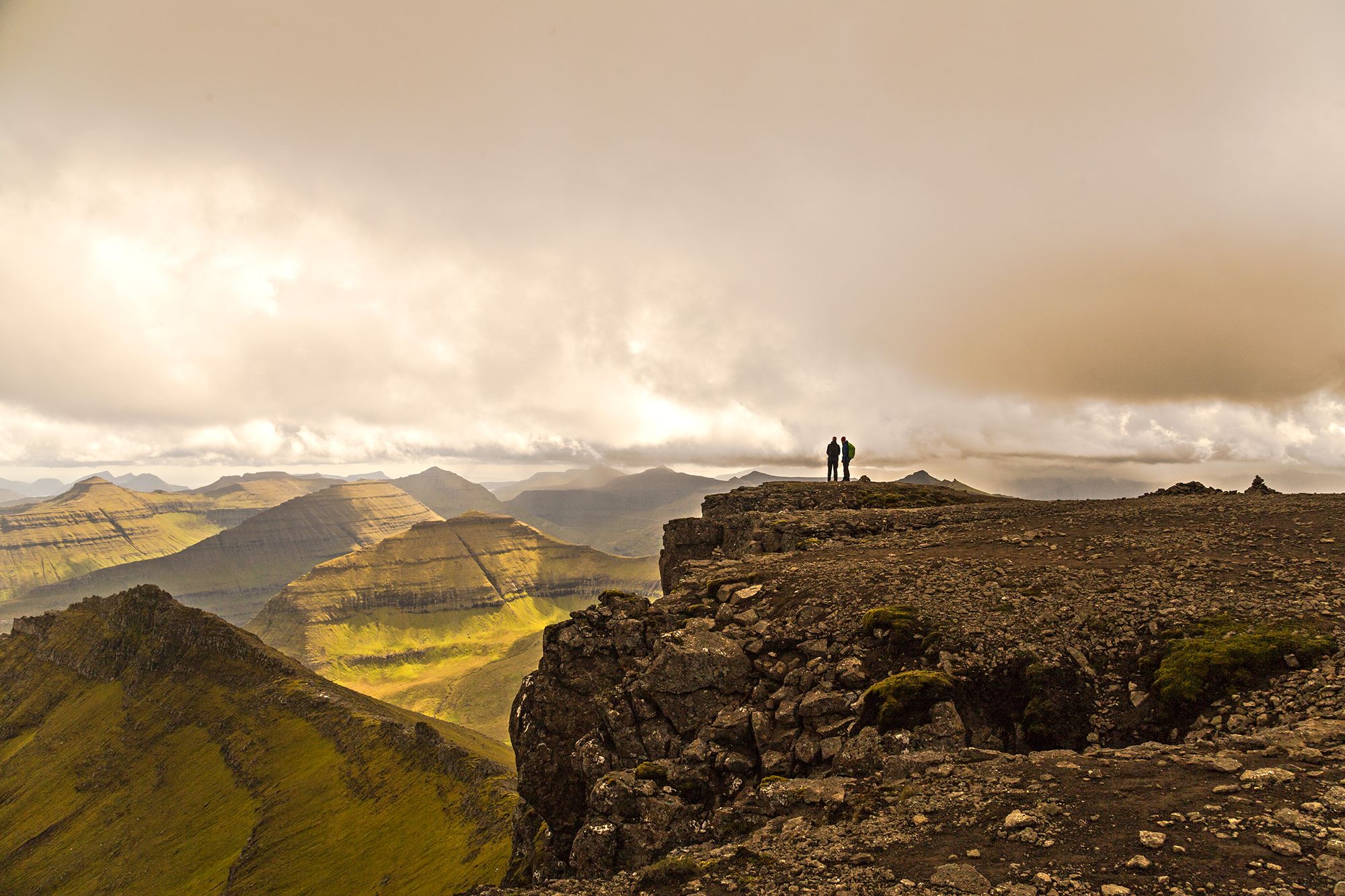

Faroe Islands Slættaratindur
Slættaratindur, translated as “flat summit”, is the highest mountain in the Faroe Islands, towering at 880 metres. On a clear day, all 18 islands of the Faroe Islands can be viewed from the top (some claim that Iceland’s Vatnajökull mountain can also be seen!). On June 21, the longest day of the year, it is tradition to climb Slættaratindur and watch the sun set and rise again.
There are two points from which to start climbing to reach the summit; the first, from Gjógv, takes about four hours of hiking; the second, from Eiðisskarð, takes under an hour.
There are two points from which to start climbing to reach the summit; the first, from Gjógv, takes about four hours of hiking; the second, from Eiðisskarð, takes under an hour.
Photography Tips
A good tripod and standard zoom like 24-105.
Travel Information
There are two points from which to start climbing to reach the summit; the first, from Gjógv, takes about four hours of hiking; the second, from Eiðisskarð, takes under an hour.
Spot Type
Outdoor
Crowd Factor
Just a few people
Best Timing
Summer
Sunrise & Sunset
04:10 - 22:58
| current local time: 03:10
Photo Themes
Mountain
Locations
Faroe Island
Slættaratindur


Spot comments (0)