Särkitunturi, Finland
Mika Wist
Mika Wist www.flickr.com/photos/…
licensable
Särkitunturi, Finland
Mika Wist
Mika Wist www.flickr.com/photos/…
licensable
Särkitunturi, Finland
Mika Wist
Mika Wist www.flickr.com/photos/…
licensable
This photo is copyrighted by the author.
Thank you for respecting the rights and efforts of our photographers. Please contact the author for further information.

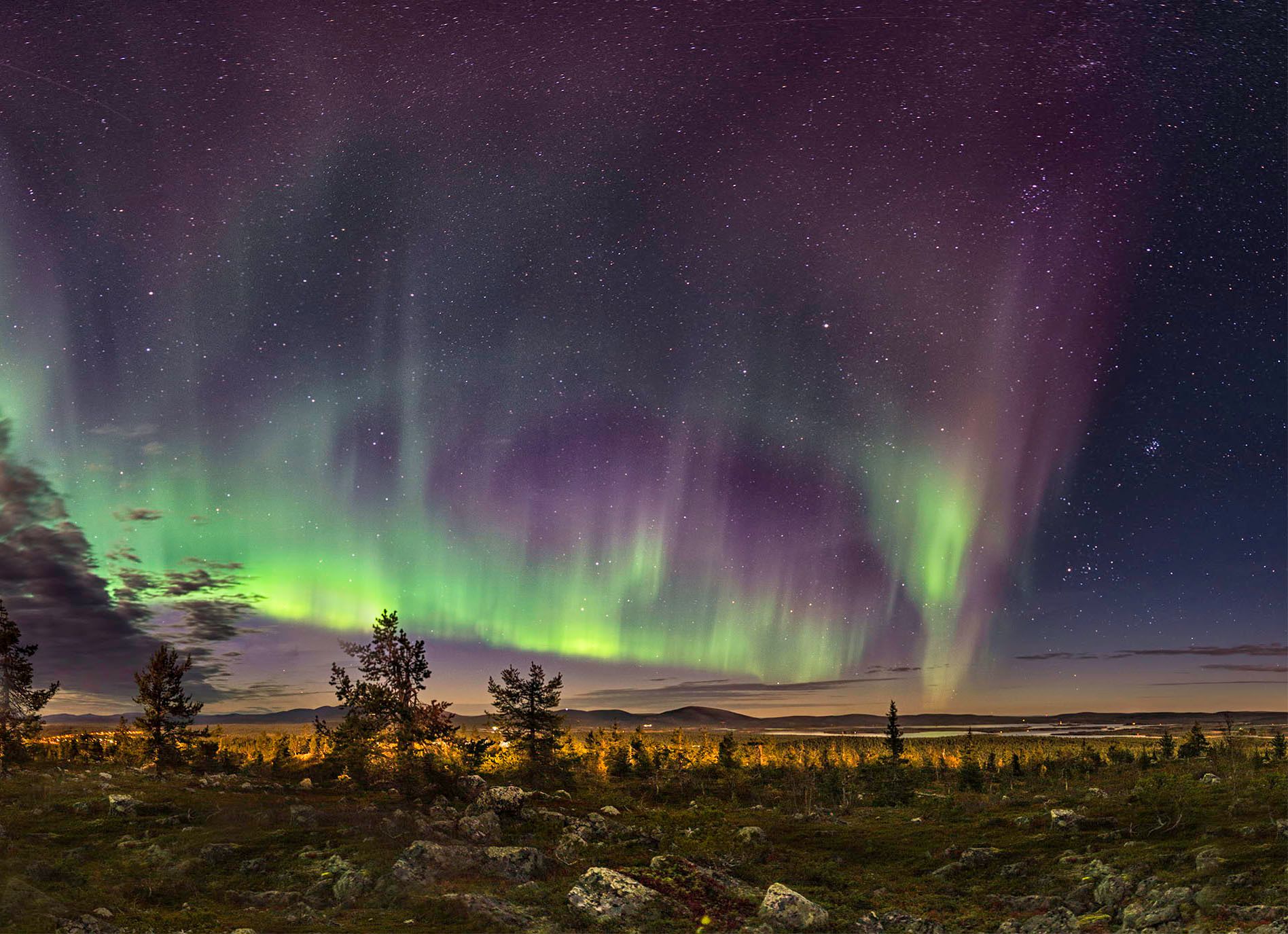
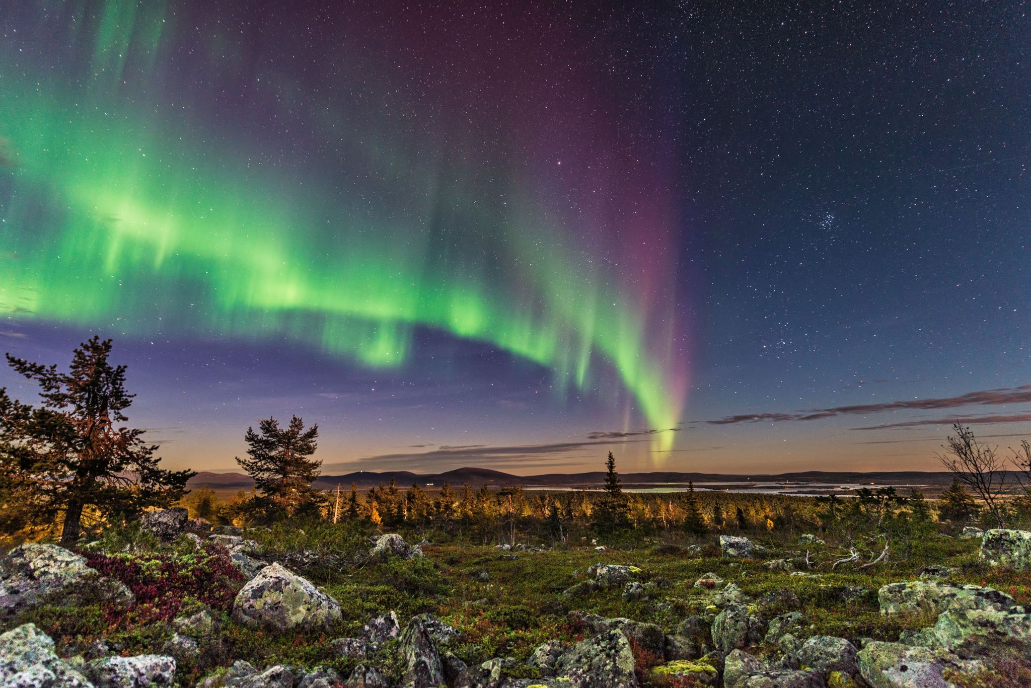
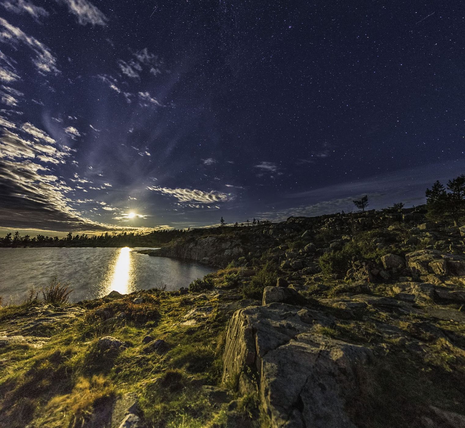
Finland Särkitunturi

  • Please log in or sign up for free to see the GPS coordinates & weather for this photo spot
Särkitunturi height is 492 meters. This is one of the easiest of Lapland routes to hike that high. There's 3 ponds (2 small and 1 big one) on top of the mountain too.

Photography Tips

All focal lengths are good here. You can get a nice 360° view from the top.

Travel Information

You need a car to get here. There's a good parking lot where you start the hike and it takes about 1-1,5 hours to get to the top. Oh, and if you decide to hike there after the sunset like we did, just bear in mind that there's bears and wolves in these woods. Wear a small tinker bell on your jacket or keep some other noice all the time since these creatures tend to avoid human contact.
Spot Type Outdoor
Crowd Factor A decent amount of people
Best Timing Fall
Sunrise & Sunset 05:40 - 19:16 | current local time: 00:17
Photo Themes 360° view Auroras Lapland Low mountain
Locations Muonio Särkitunturi

Get the exact geo-position for this spot

Log in to see the GPS coordinates, sun directions, and the map for this photo spot. Or simply bookmark it along with other spots to plan your next trip.

Spot Comments (0)

Please log in or sign up for free to leave a comment or ask a question.

Ratings (1) starstarstarstarstar

starstarstarstarstar
0
starstarstarstarstar
1
starstarstarstarstar
0
starstarstarstarstar
0
starstarstarstarstar
0

Popular photo spots in this region

Thank you Mika Wist for creating this photo spot in Finland.
Imprint & Contact © Locationscout 2024 Privacy / Terms