Cham des Bondons, France
Marie Levillain
Marie Levillain www.roamwithmarie.com
licensable
This photo is copyrighted by the author.
Thank you for respecting the rights and efforts of our photographers. Please contact the author for further information.

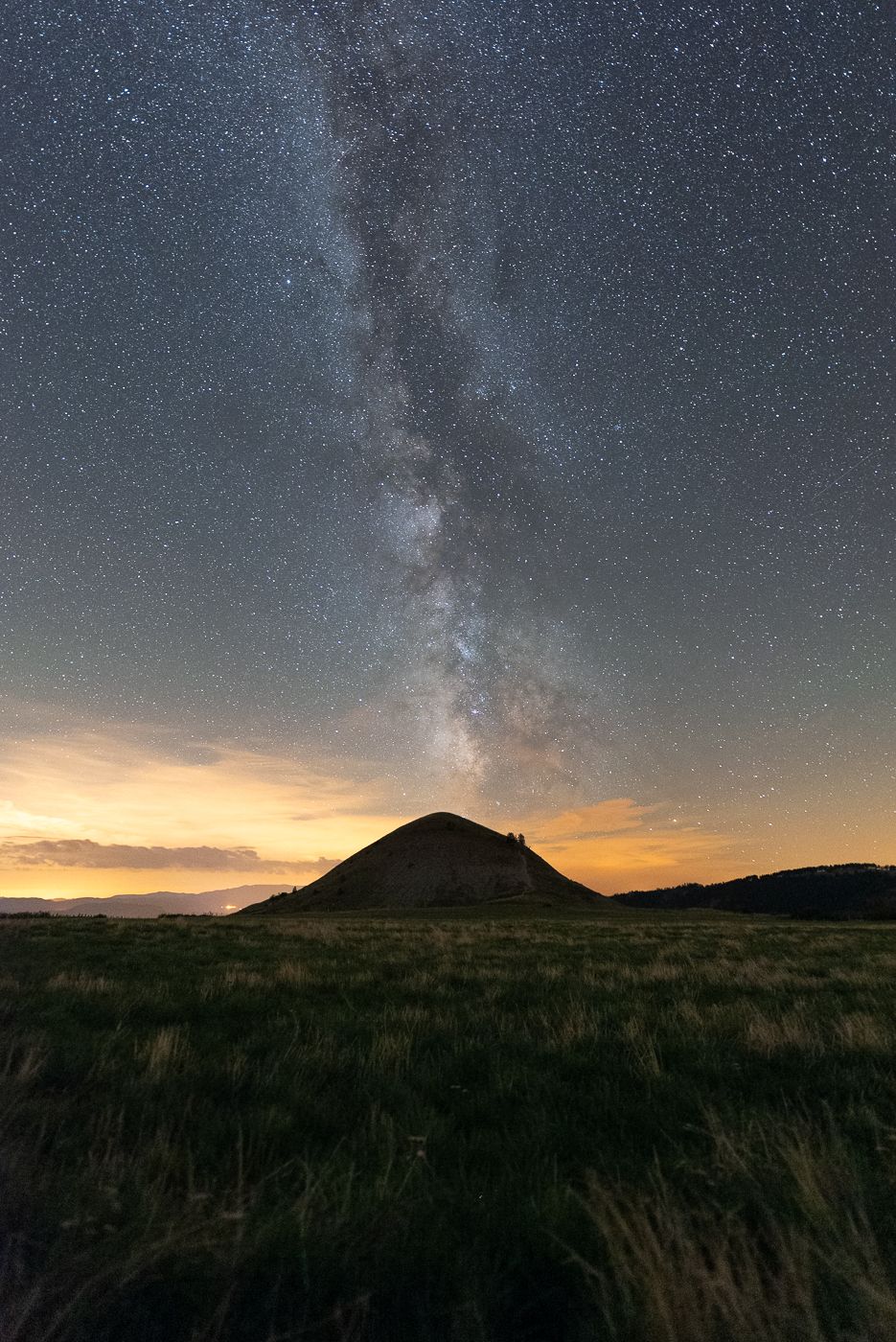
France Cham des Bondons

  • Please log in or sign up for free to see the GPS coordinates & weather for this photo spot
The "Cham des Bondons" is a limestone plateau stretching southwest of Mont Lozère, located within the Cévennes National Park in the department of Lozère. With 154 menhirs, the Cham des Bondons is home to the second-largest concentration of megalithic monuments in Europe, after the Carnac alignments in Brittany. A "Bondon" is the name given to the 2 small hills in this plateau.

Photography Tips

This place was made for photographers ! Anything between wide angle lens to zoom lens works very well. If you come for night sky photography, bring a sturdy tripod and a red headlamp.

Travel Information

Getting to the Bondons is fairly easy as the place is marked on Google Maps. Follow the GPS pin for parking.
Spot Type Outdoor
Crowd Factor Nearly no other people
Best Timing Blue hour/at night in summer
Sunrise & Sunset 06:02 - 21:25 | current local time: 13:20
Photo Themes Astrophotography Farmland Rock Formation
Locations Occitanie Mende

Get the exact geo-position for this spot

Log in to see the GPS coordinates, sun directions, and the map for this photo spot. Or simply bookmark it along with other spots to plan your next trip.

Spot comments (0)

Please log in or sign up for free to leave a comment or ask a question.

Ratings (1) star star star star star

star star star star star
1
star star star star star
0
star star star star star
0
star star star star star
0
star star star star star
0

Popular photo spots in this region

Thank you Marie Levillain for creating this photo spot in France.
Imprint & Contact © Locationscout 2026 Privacy / Terms