
Germany Halde Hoheward
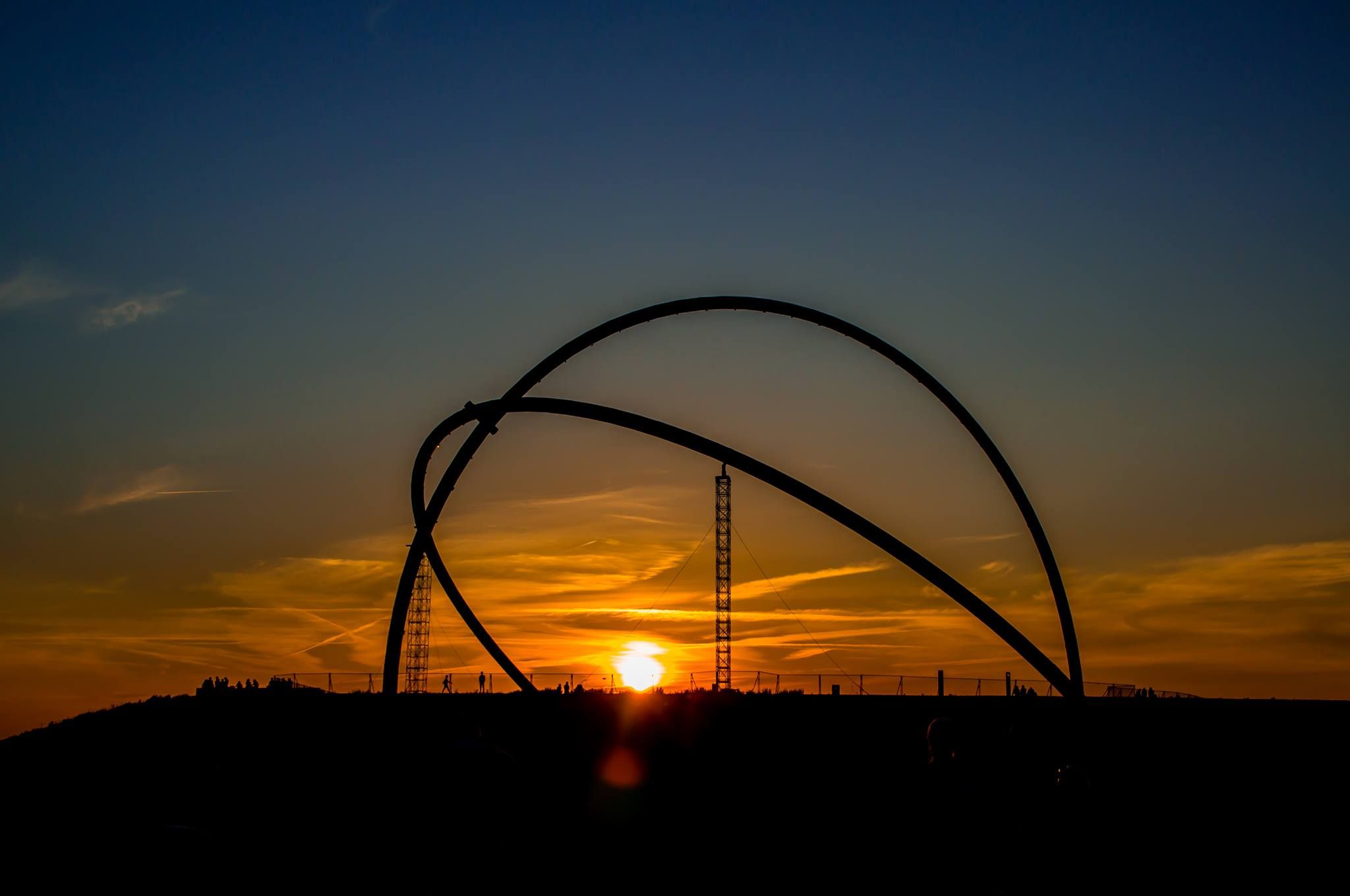
Die Halde Hoheward ist eine Bergehalde im Ruhrgebiet. Sie entstand aus Schüttungen der Zeche Recklinghausen II, der Zeche Ewald und der Zeche General Blumenthal/Haard. Zwischen den Städten Herten und Recklinghausen gelegen, bildet sie gemeinsam mit der Halde Hoppenbruch die größte Haldenlandschaft des Ruhrgebiets. Die höchste Stelle der Halde ist mit einer Höhe von 152,5 m ü. NN erreicht. Die Halden Hoheward und Hoppenbruch sind Teil der Route der Industriekultur und des Landschaftsparks Hoheward. Eigentümer beider Halden ist der Regionalverband Ruhr, der die Flächen von der Deutschen Steinkohle AG übernommen hat. Als Projektträger ist er für den Ausbau der Halde Hoheward verantwortlich. Bei guter Sicht ist der etwa 50 km entfernte Rheinturm in Düsseldorf zu erkennen. (Quelle: Wikipedia)
Spot Type
Outdoor
Crowd Factor
No info yet
Best Timing
All timings are equally good
Sunrise & Sunset
05:36 - 21:38
| current local time: 03:32
Photo Themes
Industriekultur
Route der Industriekultur
Sonnenuntergang
Sunset
Locations
recklinghausen
Halde Hoheward
Herten


Spot comments (0)