

Iceland Nearby mountain at Emstrur Hut, Laugavegur Trail
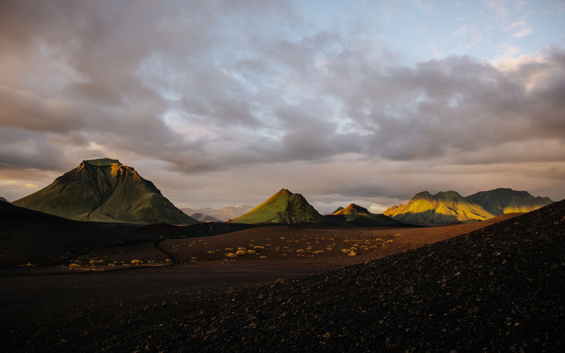
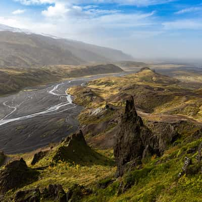
A side quest from the Emstrur Hut can be this marked nearby peak. From here you have a perfect overview / 360 degree panorama.
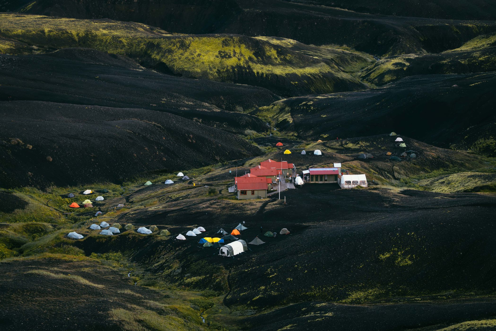
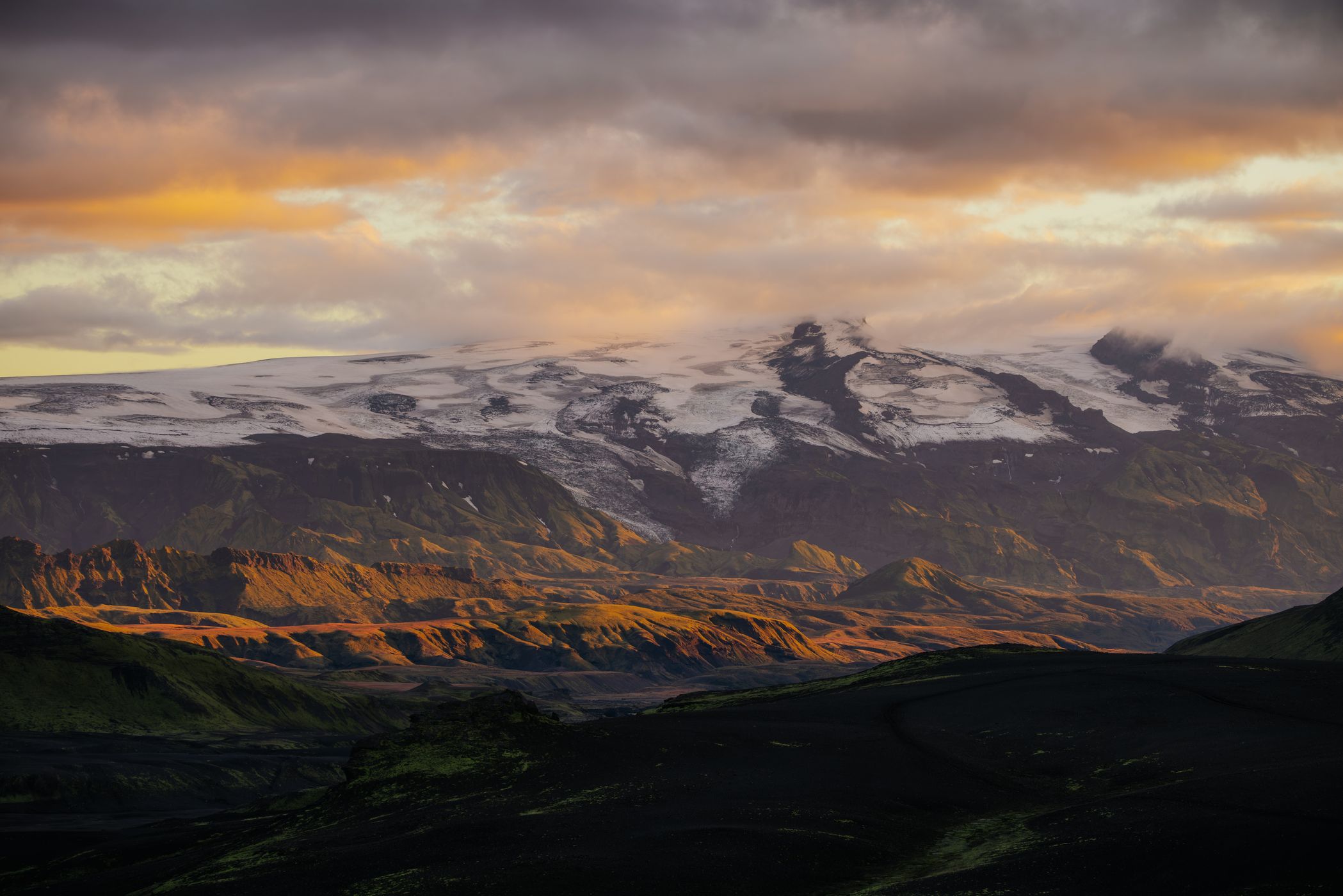
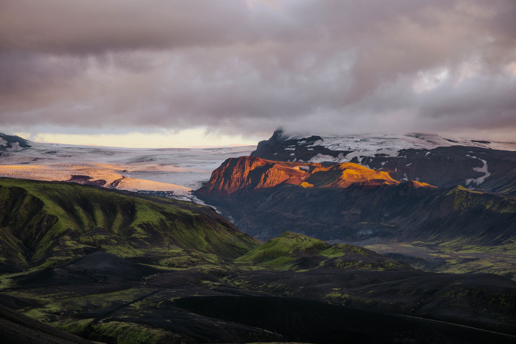
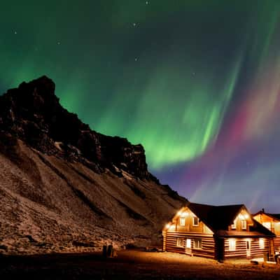
Emstrur Hut is a remote mountain hut surrounded by Iceland’s dramatic highlands, where dark volcanic sands meet rugged ridges and deep glacial valleys. It offers a peaceful place to rest along the Laugavegur Trail, with views towards the striking Markarfljót canyon. As the evening light fades across the barren landscape, the remoteness of the Icelandic wilderness becomes even more tangible.
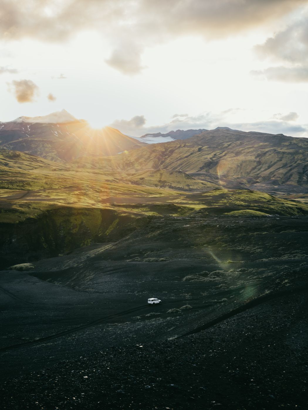
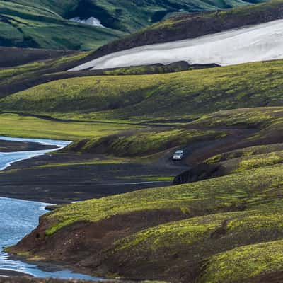
The section from Álftavatn to Emstrur takes you through some of the most diverse landscapes along Iceland’s famous Laugavegur Trail. Leaving the green hills around the lake behind, the route crosses wide black sand plains, volcanic deserts and braided glacial rivers. The contrast between the dark volcanic ground, moss-covered slopes and distant glaciers makes this stage particularly striking. Along the way, you’ll cross several rivers, some of which can be challenging depending on the weather and water levels. The trail gradually leads deeper into a rugged, almost otherworldly landscape shaped by centuries of volcanic activity and glacial erosion. As you approach Emstrur, the terrain becomes drier and more barren, with black sand and sparse vegetation dominating the scenery. One of the highlights is the view towards Mýrdalsjökull, an enormous ice cap that towers over the surrounding wilderness. After approximately 15 km and 6–7 hours of hiking, you reach the Emstrur campsite, surrounded by a dramatic landscape that feels far removed from the rest of Iceland.
Emstrur Hut is a remote mountain hut surrounded by Iceland’s dramatic highlands, where dark volcanic sands meet rugged ridges and deep glacial valleys. It offers a peaceful place to rest along the Laugavegur Trail, with views towards the striking Markarfljót canyon. As the evening light fades across the barren landscape, the remoteness of the Icelandic wilderness becomes even more tangible.
The section from Álftavatn to Emstrur takes you through some of the most diverse landscapes along Iceland’s famous Laugavegur Trail. Leaving the green hills around the lake behind, the route crosses wide black sand plains, volcanic deserts and braided glacial rivers. The contrast between the dark volcanic ground, moss-covered slopes and distant glaciers makes this stage particularly striking. Along the way, you’ll cross several rivers, some of which can be challenging depending on the weather and water levels. The trail gradually leads deeper into a rugged, almost otherworldly landscape shaped by centuries of volcanic activity and glacial erosion. As you approach Emstrur, the terrain becomes drier and more barren, with black sand and sparse vegetation dominating the scenery. One of the highlights is the view towards Mýrdalsjökull, an enormous ice cap that towers over the surrounding wilderness. After approximately 15 km and 6–7 hours of hiking, you reach the Emstrur campsite, surrounded by a dramatic landscape that feels far removed from the rest of Iceland.
Photography Tips
For a longer hike like the Laugavegur, I focused on carrying just two lenses: a wide-angle and a telezoom. The wide-angle is ideal for the big landscapes of this first stage, capturing the colorful mountains, lava fields and dramatic skies while keeping the trail and surrounding terrain in the frame.
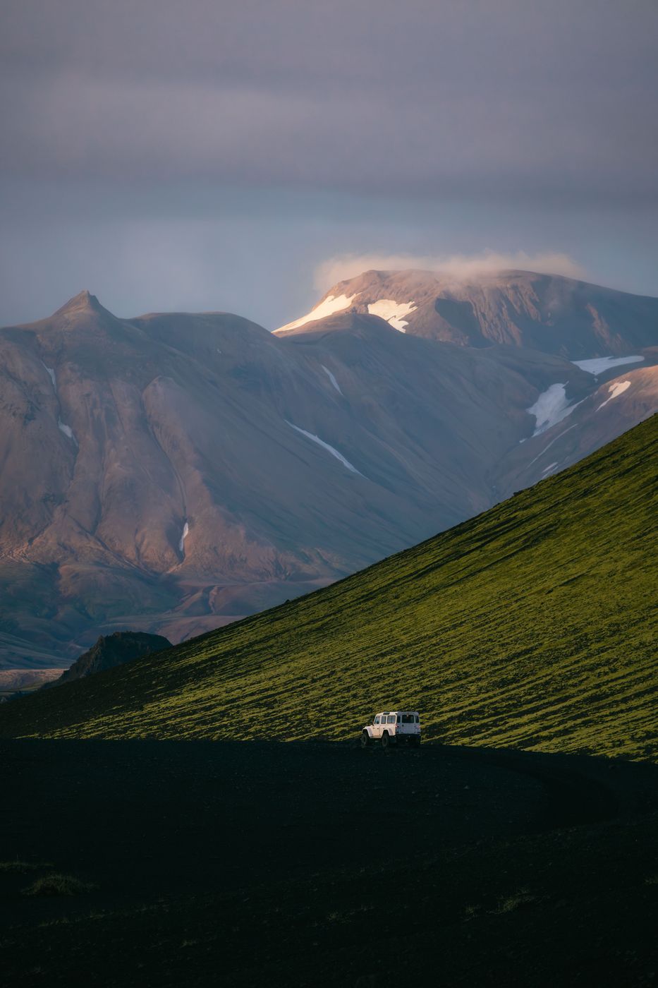
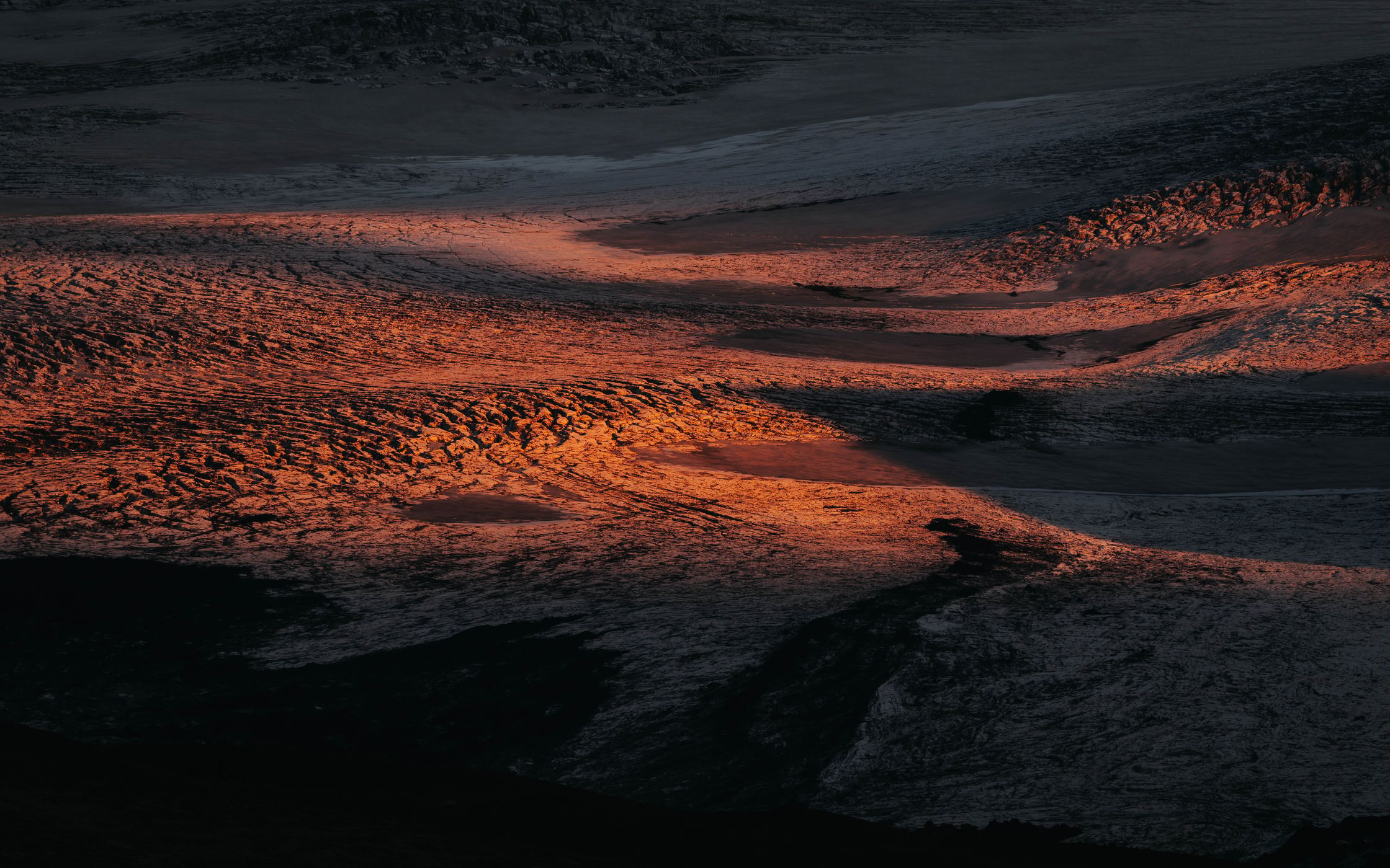
The telezoom is just as valuable here, especially when you want to simplify the landscape. From the trail you can isolate distant ridges, geothermal details and layers of colorful mountains, turning the landscape into almost abstract compositions. It also allows you to compress different layers of the terrain and pick out small hikers in the distance, showing just how vast the Icelandic Highlands really are.
For a multi-day trek, this combination gives you a lot of flexibility without carrying a whole collection of lenses: wide for the scale, tele for the details and minimalist compositions.
The telezoom is just as valuable here, especially when you want to simplify the landscape. From the trail you can isolate distant ridges, geothermal details and layers of colorful mountains, turning the landscape into almost abstract compositions. It also allows you to compress different layers of the terrain and pick out small hikers in the distance, showing just how vast the Icelandic Highlands really are.
For a multi-day trek, this combination gives you a lot of flexibility without carrying a whole collection of lenses: wide for the scale, tele for the details and minimalist compositions.
Travel Information
For the Laugavegur hike, taking a Highland bus to Landmannalaugar is usually the most practical option. The trail is a one-way route of around 55 km, starting in Landmannalaugar and ending in Þórsmörk, so you don't have to worry about getting your car back to the starting point. Several seasonal bus services connect Reykjavík with Landmannalaugar, and buses can also take you back from Þórsmörk after finishing the hike.
For Laugavegur specifically, I’d recommend the bus: because the trail is not a loop, driving there means you would need to arrange transport back to your car in Landmannalaugar. The bus makes the logistics much easier. Get dropped off at the trailhead, hike all the way to Þórsmörk, and take a bus back from the other end.
Please check the booking page https://www.fi.is/en/mountain-huts/camping and reserve your hat or camp-spot with your own tent in advance.
Conditions can be very challenging and different each day. Please be well prepared and check our equipment before.
For Laugavegur specifically, I’d recommend the bus: because the trail is not a loop, driving there means you would need to arrange transport back to your car in Landmannalaugar. The bus makes the logistics much easier. Get dropped off at the trailhead, hike all the way to Þórsmörk, and take a bus back from the other end.
Please check the booking page https://www.fi.is/en/mountain-huts/camping and reserve your hat or camp-spot with your own tent in advance.
Conditions can be very challenging and different each day. Please be well prepared and check our equipment before.
Spot Type
Outdoor
Crowd Factor
Just a few people
Best Timing
Sunset in summer
Sunrise & Sunset
08:06 - 17:59
| current local time: 13:55
Photo Themes
Hike
Hiking
Hiking Trail
Mountain
Mountain Panorama
Mountain Pass
Mountain Range
Mountain Valley
Mountain View
Rocky Mountains





Spot comments (0)