285 photos in 95 spots
Filters
Photos per spot
Order by
285 photos in 95 spots
![Ouimet Canyon Provincial Park]()
![Eagles Nest Lookout, Calabogie Ontario]()
![Toronto City Hall]()
![Burnett Park, Toronto]()
![Beaverdam near Dizzy Lake]()
![Track and Tower Trail lookout]()
![The National War Memorial]()
![Fly Wheel, Arltunga Historical Reserve, Northern Territory]()
![Just off the Lakefront path in Oshawa]()
![Just off the Lakefront path in Oshawa]()
![Sunfish Cut]()
![Toronto Skyline View]()
![Toronto Old City Hall]()
![Graffiti Alley, Toronto, Canada]()
![Graffiti Alley, Toronto, Canada]()
![Graffiti Alley, Toronto, Canada]()
![Toronto - Ward's Island Viewpoint]()
![Toronto - Ward's Island Viewpoint]()
![Niagara Canada Side]()
![Niagara Canada Side]()
![Sunrise at the Niagara Falls]()
![Toronto Polson Pier]()
![Niagara Falls]()
![CN Tower behind Rogers Centre, Toronto]()
![CN Tower behind Rogers Centre, Toronto]()
![CN Tower behind Rogers Centre, Toronto]()
![CN Tower behind Rogers Centre, Toronto]()
![CN Tower behind Rogers Centre, Toronto]()
![CN Tower behind Rogers Centre, Toronto]()
![CN Tower behind Rogers Centre, Toronto]()

Ouimet Canyon Provincial Park
974.11 km to location

Eagles Nest Lookout, Calabogie Ontario
301.72 km to location

Toronto City Hall
67.62 km to location

Burnett Park, Toronto
80.21 km to location

Beaverdam near Dizzy Lake
275.22 km to location

Track and Tower Trail lookout
275.82 km to location

The National War Memorial
373.86 km to location

Fly Wheel, Arltunga Historical Reserve, Northern Territory
16219.21 km to location

Just off the Lakefront path in Oshawa
86.88 km to location

Just off the Lakefront path in Oshawa
86.88 km to location

Sunfish Cut
64.08 km to location

Toronto Skyline View
64.75 km to location
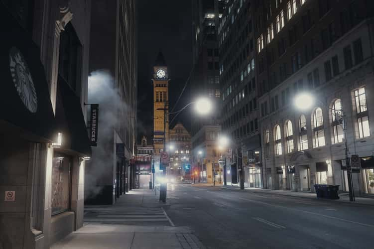
Toronto Old City Hall
67.56 km to location

Graffiti Alley, Toronto, Canada
67.56 km to location

Graffiti Alley, Toronto, Canada
67.56 km to location

Graffiti Alley, Toronto, Canada
67.56 km to location

Toronto - Ward's Island Viewpoint
64.85 km to location

Toronto - Ward's Island Viewpoint
64.85 km to location

Niagara Canada Side
0.57 km to location

Niagara Canada Side
0.57 km to location

Sunrise at the Niagara Falls
0.88 km to location

Toronto Polson Pier
65.64 km to location

Niagara Falls
0.95 km to location

CN Tower behind Rogers Centre, Toronto
66.45 km to location

CN Tower behind Rogers Centre, Toronto
66.45 km to location

CN Tower behind Rogers Centre, Toronto
66.45 km to location

CN Tower behind Rogers Centre, Toronto
66.45 km to location

CN Tower behind Rogers Centre, Toronto
66.45 km to location

CN Tower behind Rogers Centre, Toronto
66.45 km to location

CN Tower behind Rogers Centre, Toronto
66.45 km to location


