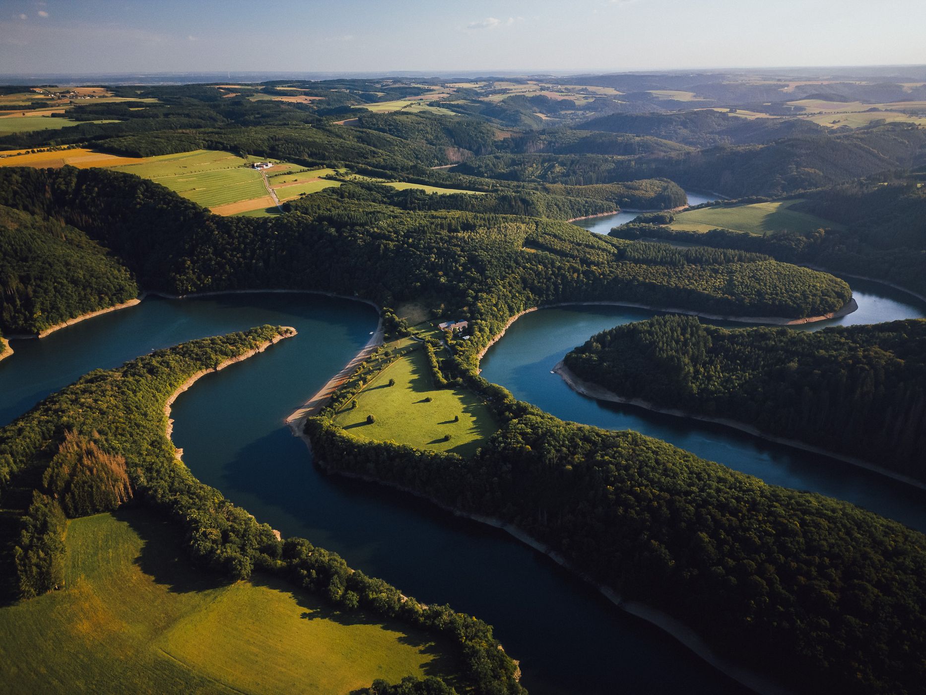

Luxembourg Sûre, Luxembourg
This breathtaking drone photo showcases the winding Sûre River ("Sauer River") in northern Luxembourg, where the water elegantly snakes through lush green valleys and forested hills. The scene captures the harmonious balance between natural beauty and cultivated farmland, typical of the Éislek (Oesling) region. The golden evening light enhances the contours of the landscape, creating a striking contrast between the emerald fields and the deep blue reflections of the river. From above, the Sûre’s meandering curves form an almost abstract composition — a perfect example of how Luxembourg’s landscapes combine drama and serenity in a single frame.
Photography Tips
A drone is ideal for capturing the full beauty of the Sûre’s winding path. The best time to fly is during the golden hour (sunrise or sunset), when the low light casts long shadows that highlight the natural textures and depth of the terrain. Use a high vantage point and wide-angle lens setting to emphasize the meanders, or a slightly tighter frame for more abstract compositions. Plan your shot in advance using satellite view — the river’s shape changes beautifully along its course, especially near Esch-sur-Sûre and Bourscheid. A polarizing filter can enhance contrast and deepen the water’s color.
Travel Information
The Sûre River flows through the Éislek region in northern Luxembourg, forming part of the border with Germany. Some of the best viewpoints can be found near Esch-sur-Sûre, Dirbach, and Bourscheid, all easily accessible by car. The area offers excellent hiking and cycling routes, connecting several dramatic viewpoints overlooking the river bends. Drone flying is permitted in many rural areas of Luxembourg, but always check local flight regulations and maintain distance from nature reserves. This location is a must-see for photographers who love aerial landscapes and untouched natural beauty.
Spot Type
Drone
Crowd Factor
Nearly no other people
Best Timing
Sunset
Sunrise & Sunset
05:58 - 21:27
| current local time: 10:36
Photo Themes
Forest
Meadow
River
Locations
Rentscheld
Lac de la Haute-Sûre


Spot comments (0)