This photo is copyrighted by the author.
Thank you for respecting the rights and efforts of our photographers. Please contact the author for further information.
Please log in or sign up for free to see the GPS coordinates & weather for this photo spot
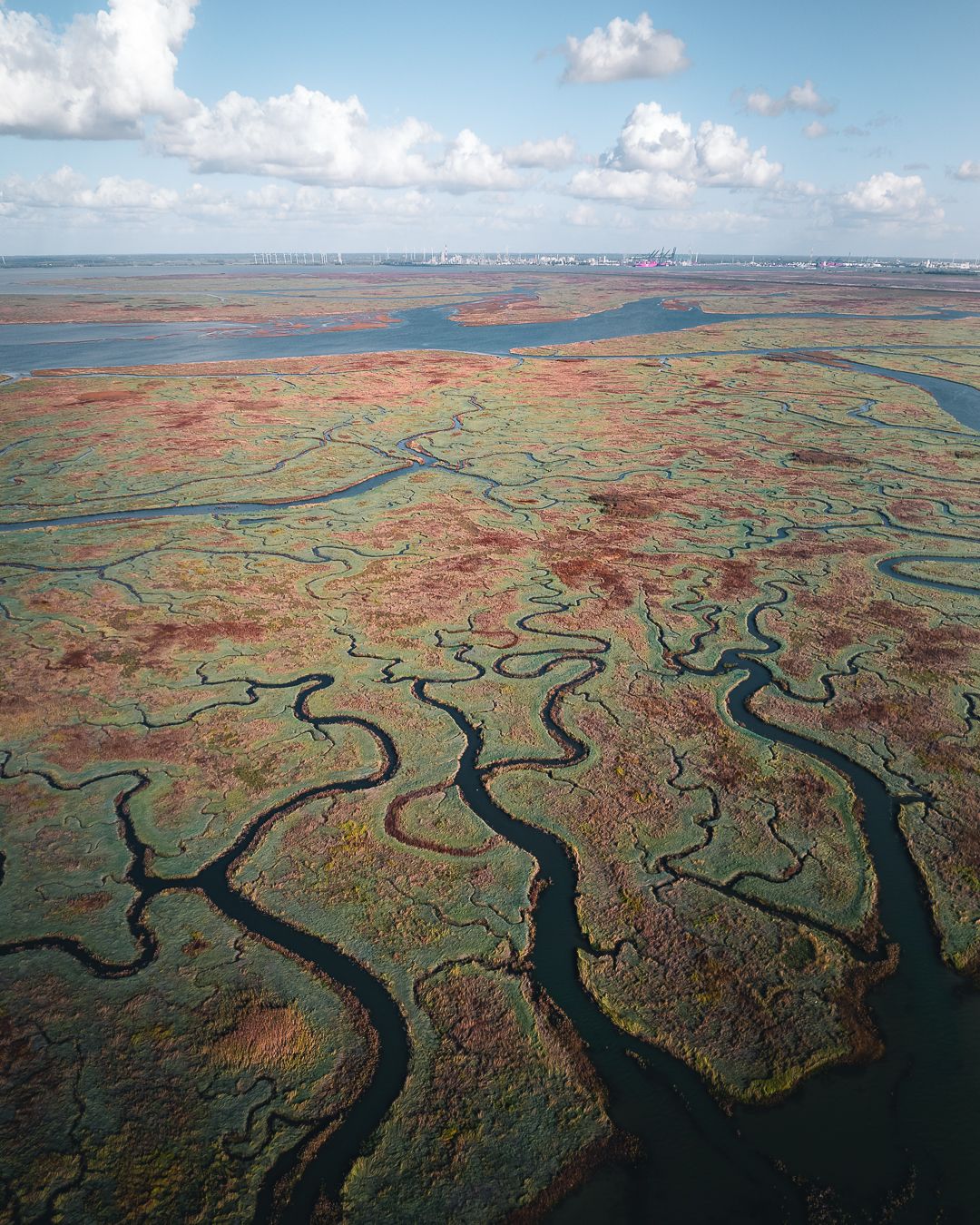
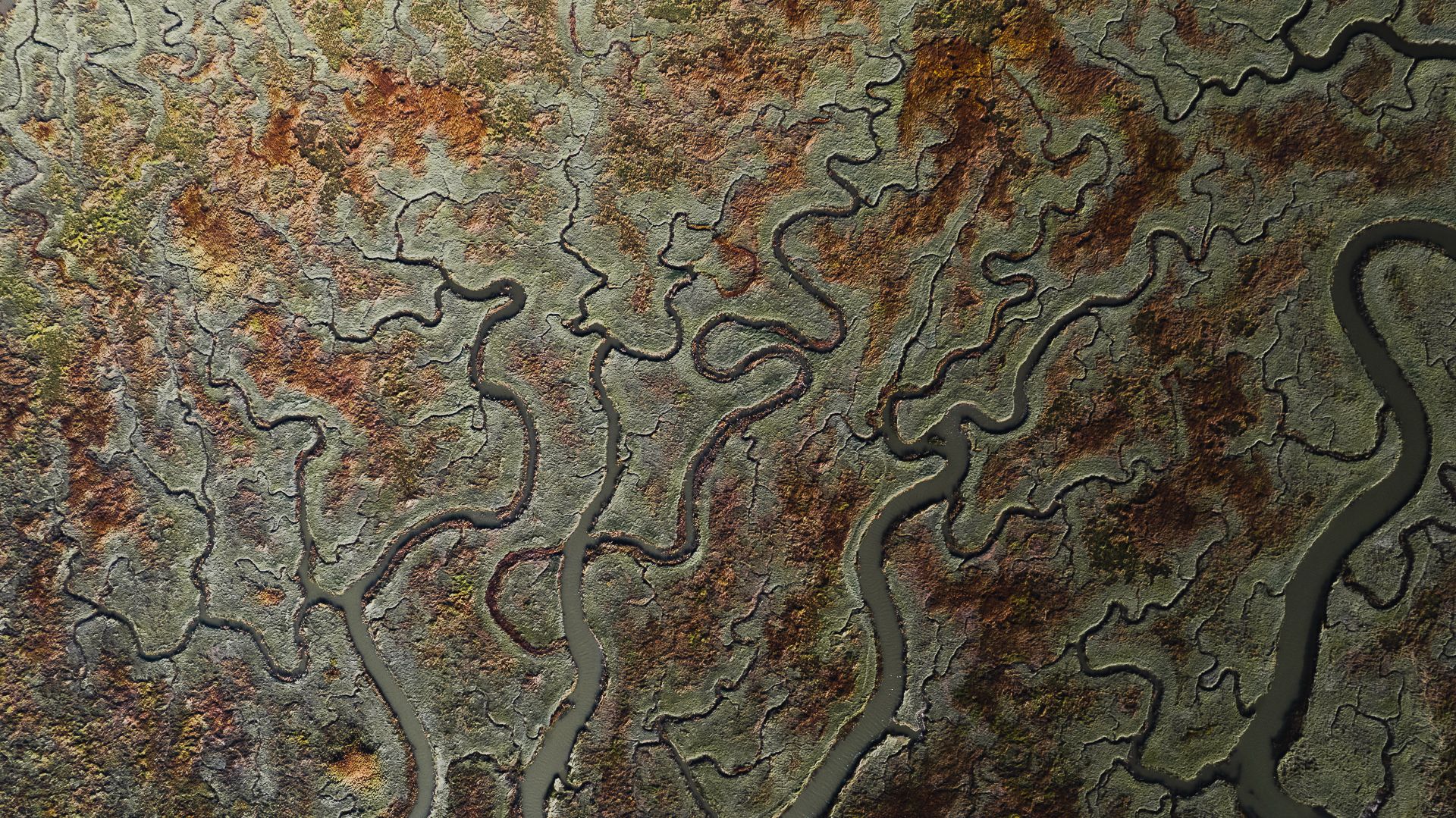
A giant piece of land where the river The Scheldt branches out into a giant amount of small rivers and creeks. It holds a wide variety of birds and has hiking pathways through the land for bird photography.
Photography Tips
Don't fly too low to not disturb the birds in the area.
Travel Information
You can park your car on the side. There are multiple stairs and pathways to the elevated pathway that gives you a view of the land.
Spot Type
Drone
Crowd Factor
Just a few people
Best Timing
Sunrise in summer
Sunrise & Sunset
05:55 - 21:23
| current local time: 21:19
Log in to see the GPS coordinates, sun directions, and the map for this photo spot. Or simply bookmark it along with other spots to plan your next trip.
Spot Comments (0)
Please log in or sign up for free to leave a comment or ask a question.


Spot Comments (0)