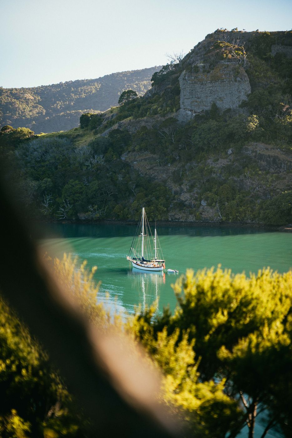

New Zealand Te Rere Bay, Wairakau Stream Track
The hiking trail "Wairakau Stream Track" leads you through a sick bush line to the coastline of Wairakau. Once you reach the waterfront you will find several beautiful idyllic views. This place peaceful place in green, dense cliffs is a true oasis.
Photography Tips
Use some unsharp foreground for more dynamic in the picture.
Travel Information
This 10,3 km out-and-back trail with around 528 meter of elevation is a moderate hike and requires a normal level of fitness. Just at the end of the trail is a climbing section with some ladders. If it was rainy the days before the river stream crossing after half of the way can be a bit tricky. So take care on slippery sections.
Spot Type
Outdoor
Crowd Factor
Just a few people
Best Timing
Sunrise in summer
Sunrise & Sunset
07:27 - 17:35
| current local time: 03:09
Photo Themes
Bay
Coast
Coastline
Marina Bay
Ocean
Ocean Cliff
Ocean Cliff
Ocean Coastline
Ocean View
oceanscape
oceanview
sailing
Sailing Boat
sailing boats
Sailing Ship


Spot comments (0)