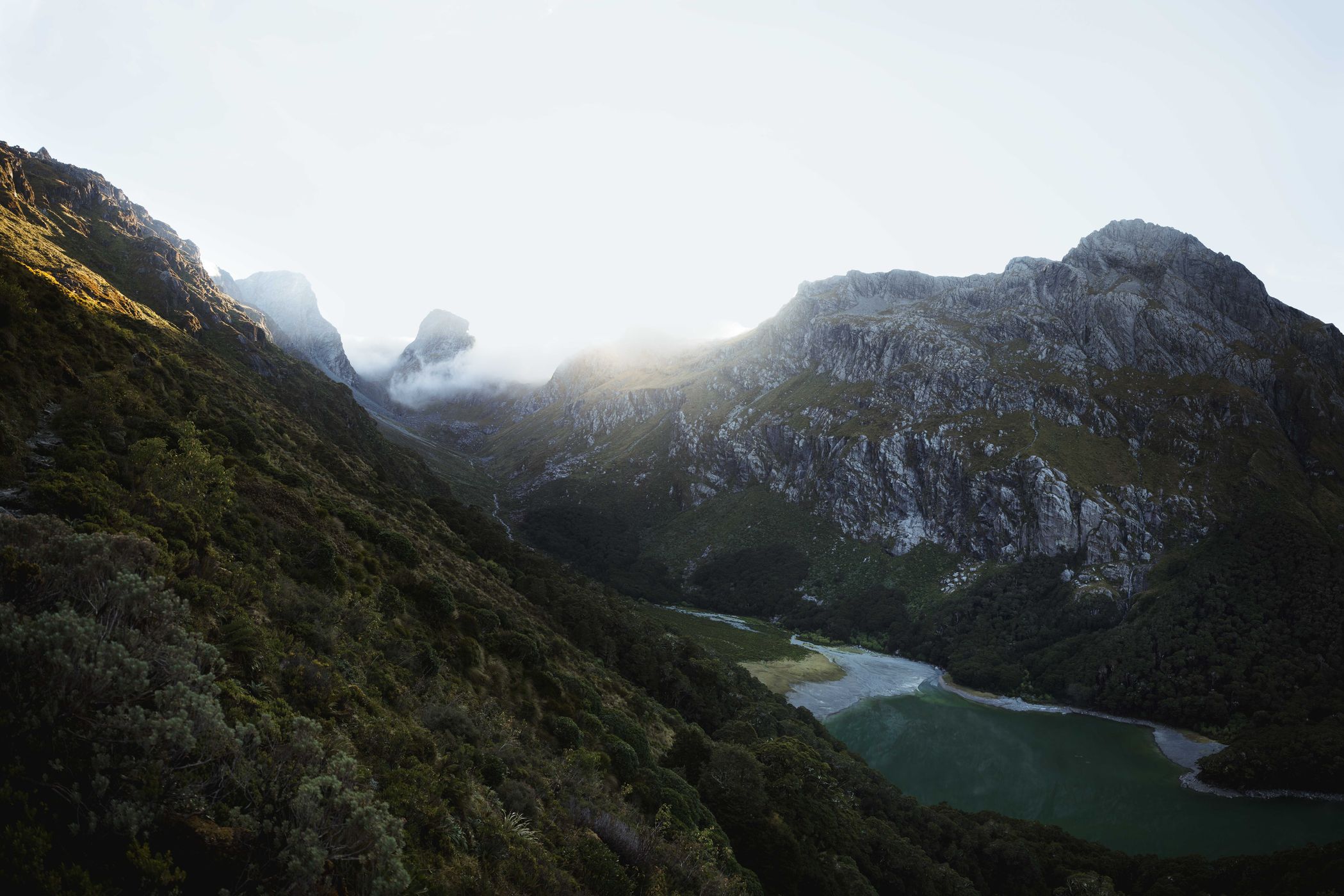

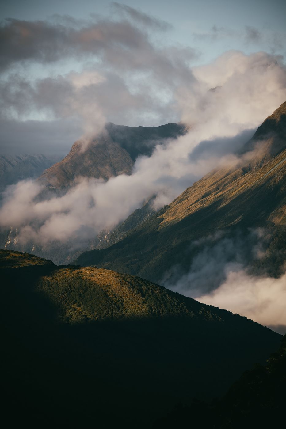
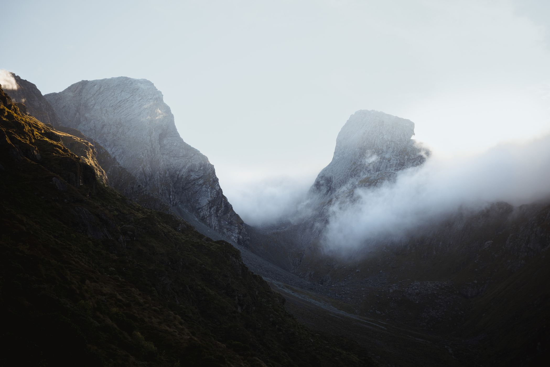
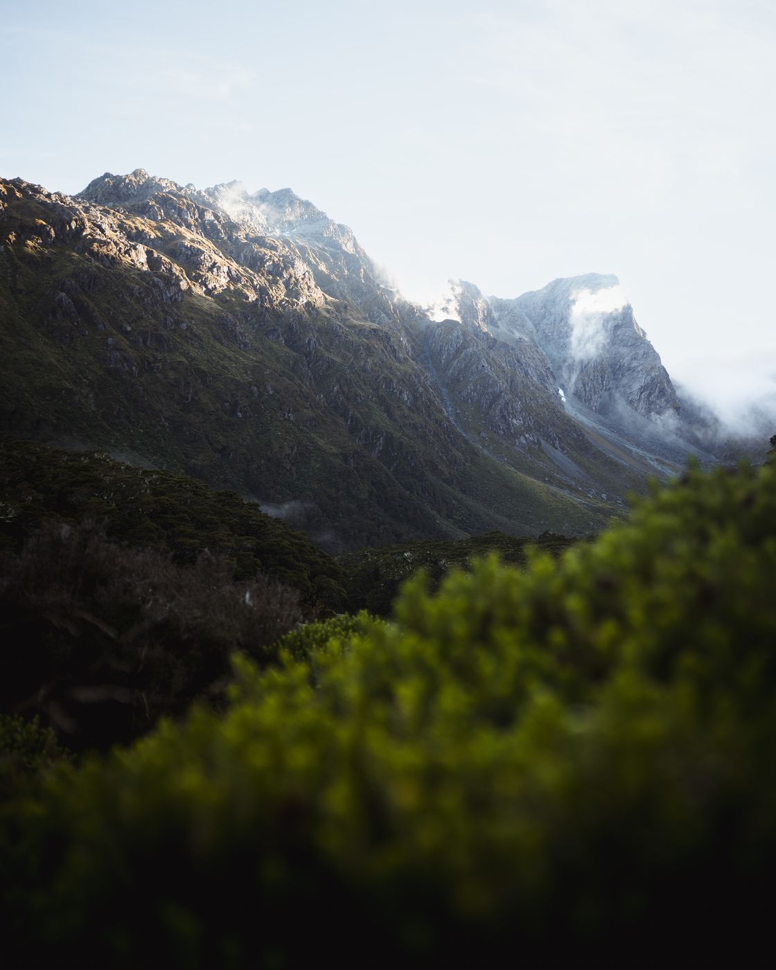
New Zealand Routeburn Track, Fiordland National Park
The Routeburn Track is one of the Great Walks in New Zealand and links the Fiordland National Park and the Mount Aspiring National Park. The Track offers soaring mountain peaks, huge valleys, lush green rainforests, waterfalls along the way and jewel-like lakes.
Photography Tips
Definitely think about your gear that you want to carry on with you! What is your intention? What would you like to shoot the most? For an example I left my wide angle lens in the van and did some multiple shots with my 24-70mm for a panorama, which I later merged in Lightroom.
Above Lake Mackenzie you have several options after sunrise. Every directions is beautiful from here in the late first light. So take your time if you are once up, switch your lenses and shoot a big landscape picture or some nice details.
Please also note that drone flying is not permitted! The entire area is Kea territory. It is also home to many other birds and there may be encounters with helicopters. It's also nice to focus fully on the camera in your hand again and photograph perspectives that you can see with your own eyes.
Travel Information
This 32km one way trail requires a good level of fitness. Strength is necessary. Normally you can do it in three days but if you are very fit it is possible in two days.
You can start the track from the divide carpark to Lake Mackenzie Hut and further on over the Harris saddle to Routeburn Falls or Flats Hut and out to Routeburn Track Trailhead. As well it is possible to hike it exactly in the other direction. For both options you can leave your car at one of the parking places and organize a pick up service over the visit centre. The drive is around 4 1/2 - 6 hours depends on the weather conditions.
There are three huts and two campsites provided by the Department of Conservation (DOC) dotted at points along the track. At the DOC huts you'll find running water, solar lighting, tables and seating and cooking facilities in the summer months. Bookings are required for all huts and campsites on the Routeburn Track during the Great Walks season which is from late October through to late April.
Spot Type
Outdoor
Crowd Factor
Just a few people
Best Timing
Sunrise in summer
Sunrise & Sunset
08:17 - 17:30
| current local time: 23:19
Photo Themes
High Mountains
Hiking
Hiking Trail
Mountain
Mountain Lake
Mountain Panorama
Mountain Pass
Mountain Peaks
Mountain Range
Mountain Valley
Mountain View
Mountains
Mountainscape
Rocky Mountains
Sunrise
trekking


Spot comments (0)