

Peru Area around Playa Mendieta, Paracas National Reserve (Drone)
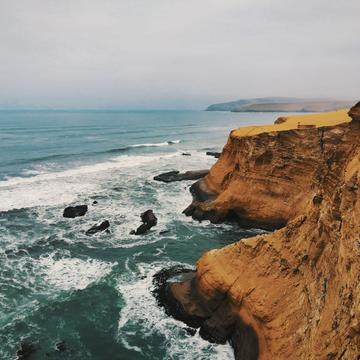
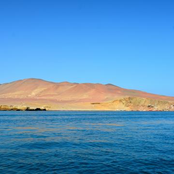
The Paracas Peninsula is a desert peninsula within the boundaries of the Paracas National Reserve, a marine reserve that extends south along the coast of Peru - beautiful and a good alternative to the mountain areas!
Photography Tips
Use the drone with panorama option for more landscape in the picture! Drone is only possible with a permit, which can be purchased through companys in a cooperation. Than it is only possible with verifiable drone license that you need to have with you!
Travel Information
Many tours lead through diverse landscapes, whether those of the dunes, the coastline or the wildlife that lives there. You can also go exploring with your own car or bike. Pay attention to the opening hours and inform yourself beforehand!
Spot Type
Outdoor
Crowd Factor
Nearly no other people
Best Timing
Sunset
Sunrise & Sunset
06:14 - 17:49
| current local time: 19:02
Photo Themes
Areal landscape
Desert Landscape
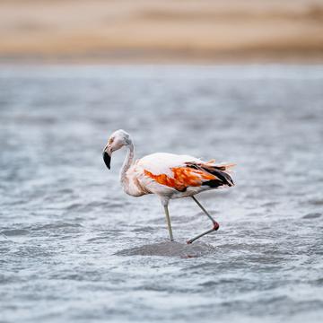
Ocean coastline
Ocean view
Locations
Paracas
Provinz Pisco
Paracas National Reserve

Spot Comments (0)