
Saudi Arabia Ruins of Diriyah
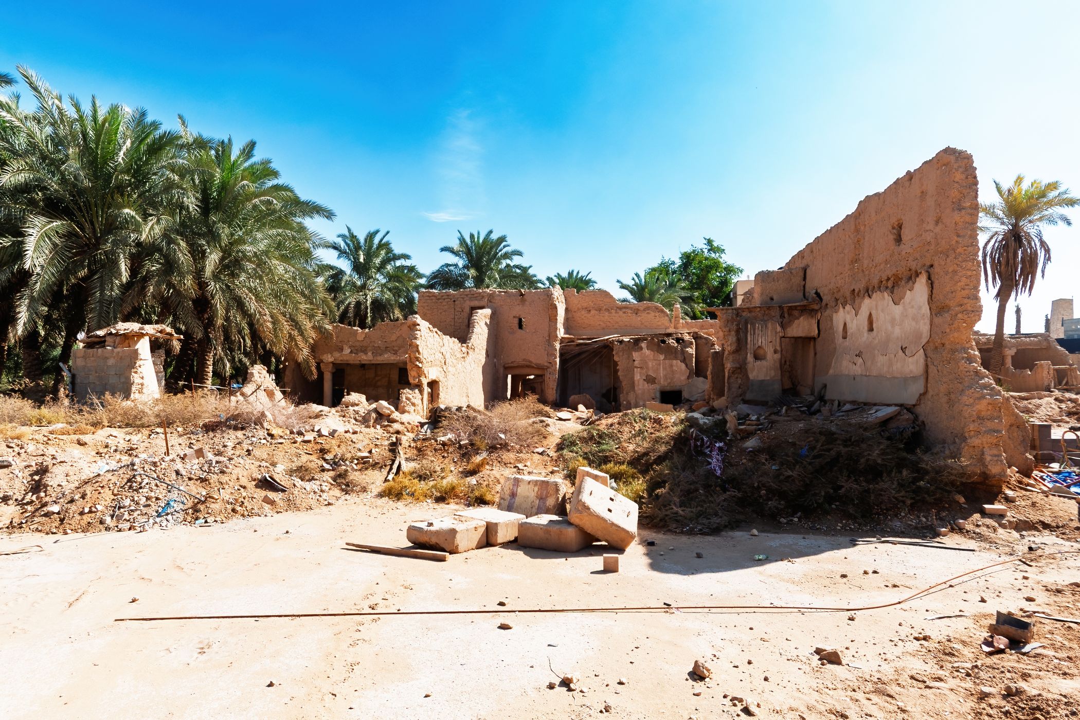
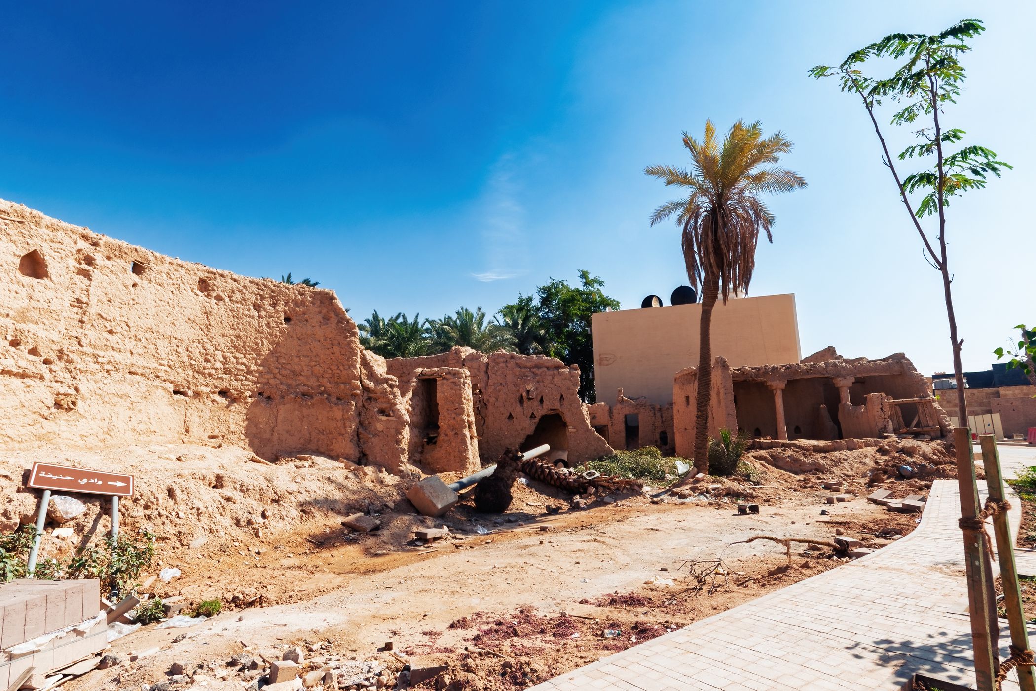
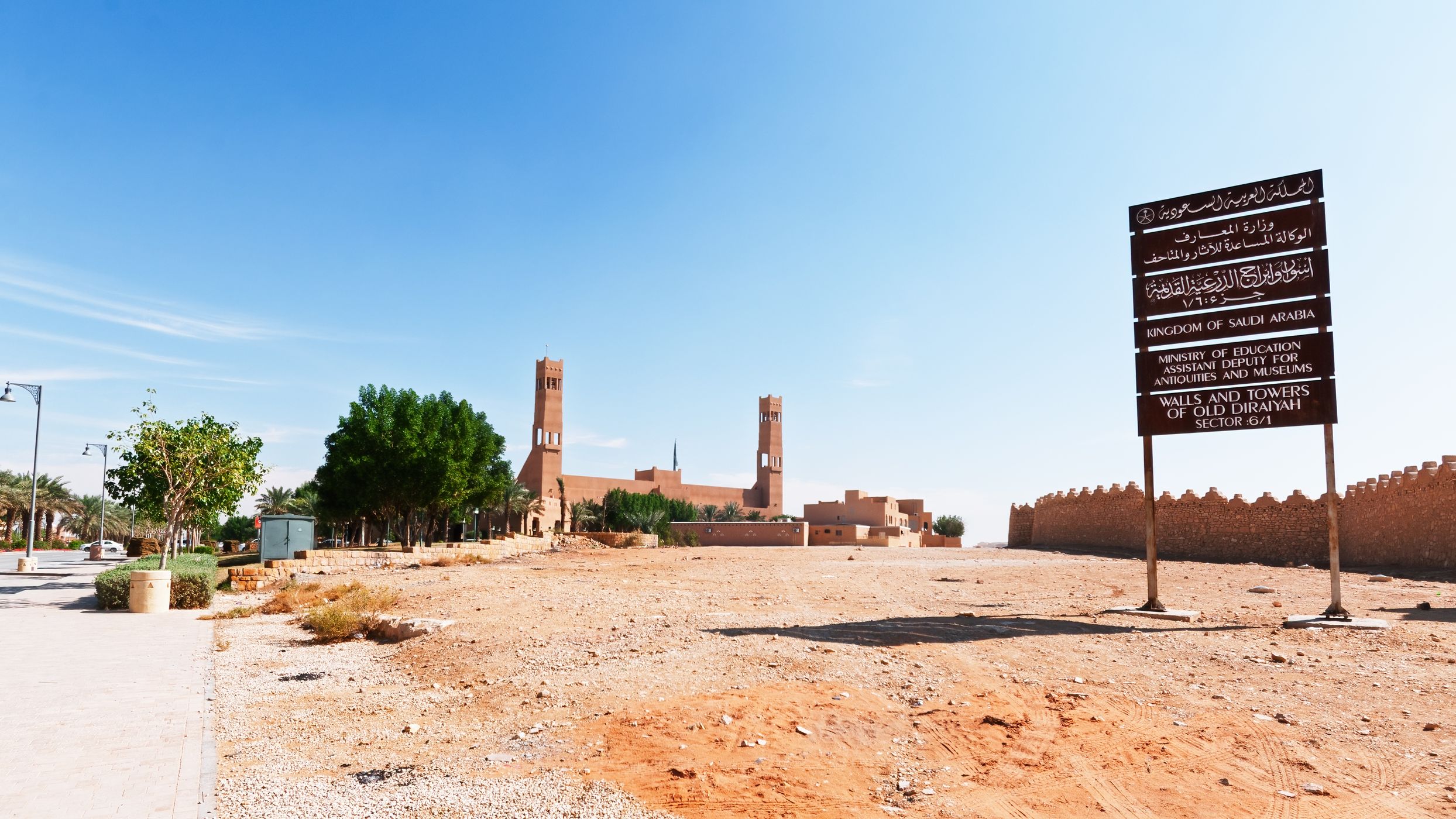
Diriyah, just northwest of today’s Riyadh on the Wadi Hanifah, is regarded as the political birthplace of the first Saudi state, which rose to regional importance in the 18th century under Muhammad bin Saud. What began as an oasis settlement evolved into a seat of authority where political and religious power were combined, until the city was largely destroyed in 1818 by the Ottoman–Egyptian campaign. In the modern era the historic fabric has been gradually conserved and folded into a state-led heritage programme that presents Diriyah as origin, memory, and showcase.
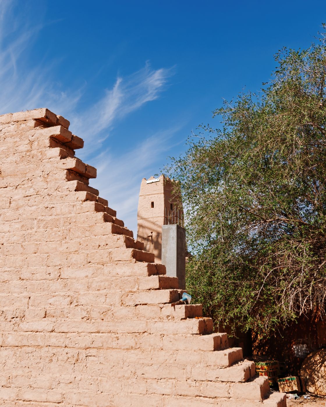
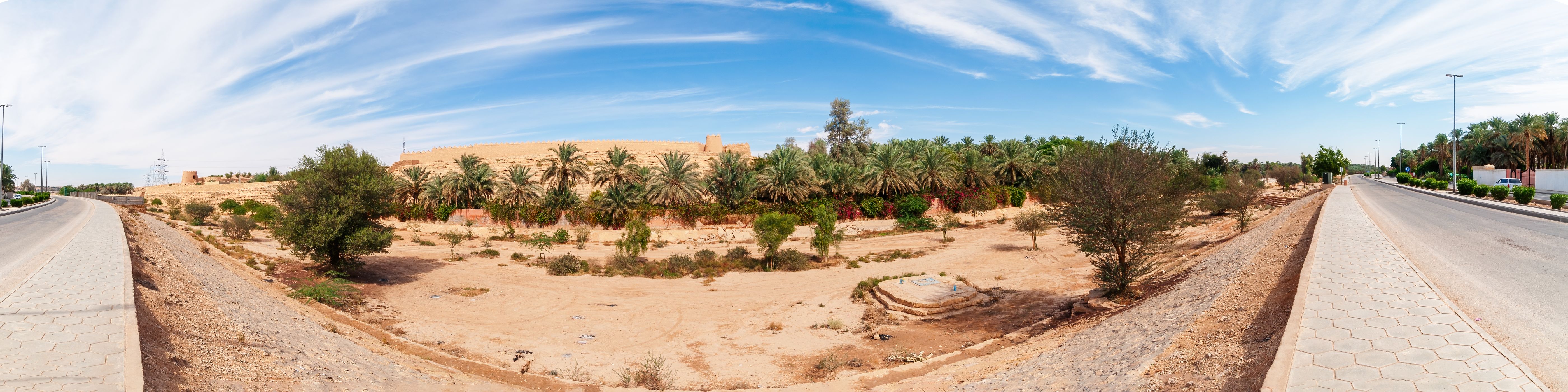
The architecture follows the central Arabian, or Najdi, building tradition, using rammed or sun-dried mudbrick, thick exterior walls, small openings, and narrow lanes to control heat in the desert climate. Palace complexes such as the Salwa complex display an additive, courtyard-based spatial organisation with clear geometric edges, parapet crenellations, and partly elevated volumes overlooking the valley, so that the historic town reads as a continuous, earth-coloured silhouette on the edge of the wadi.
For photography this ensemble is highly promising, because warm earthen surfaces react beautifully to morning and evening light, because both the lower wadi and the opposite bank allow layered views of walls, palaces, and palm groves, and because newer, curated areas create a striking contrast between restored tradition and contemporary staging that can be used for documentary series as well as for more atmospheric work.
Photography Tips
Photographers should aim for the low-light hours to avoid flat midday illumination, carry a mid-range zoom for façades and details, switch to a light wide-angle in tight lanes, pay attention to keeping verticals straight, observe local rules on privacy and modesty when people appear in the frame, shoot in RAW to compensate for fine desert dust and colour shifts, and check in advance for possible restrictions on drones or tripods in heritage zones.
Travel Information
Access is normally from Riyadh by car or ride-hailing in about 20 to 30 minutes towards the north-west along the routes to Wadi Hanifah, with parking provided near the visitor and dining areas. When public transport is used, it is typically combined with a short taxi ride, so it is sensible to check current opening and access times for the historic At-Turaif area beforehand, since these can differ from the surrounding freely accessible parts.
Spot Type
Outdoor
Crowd Factor
Just a few people
Best Timing
All timings are equally good
Sunrise & Sunset
05:15 - 18:44
| current local time: 14:48
Photo Themes
Ancient Ruins
Arabic
Historic Building
Historical City
Locations
Riyadh
riyadh city
Diriyah
Riad


Spot comments (0)