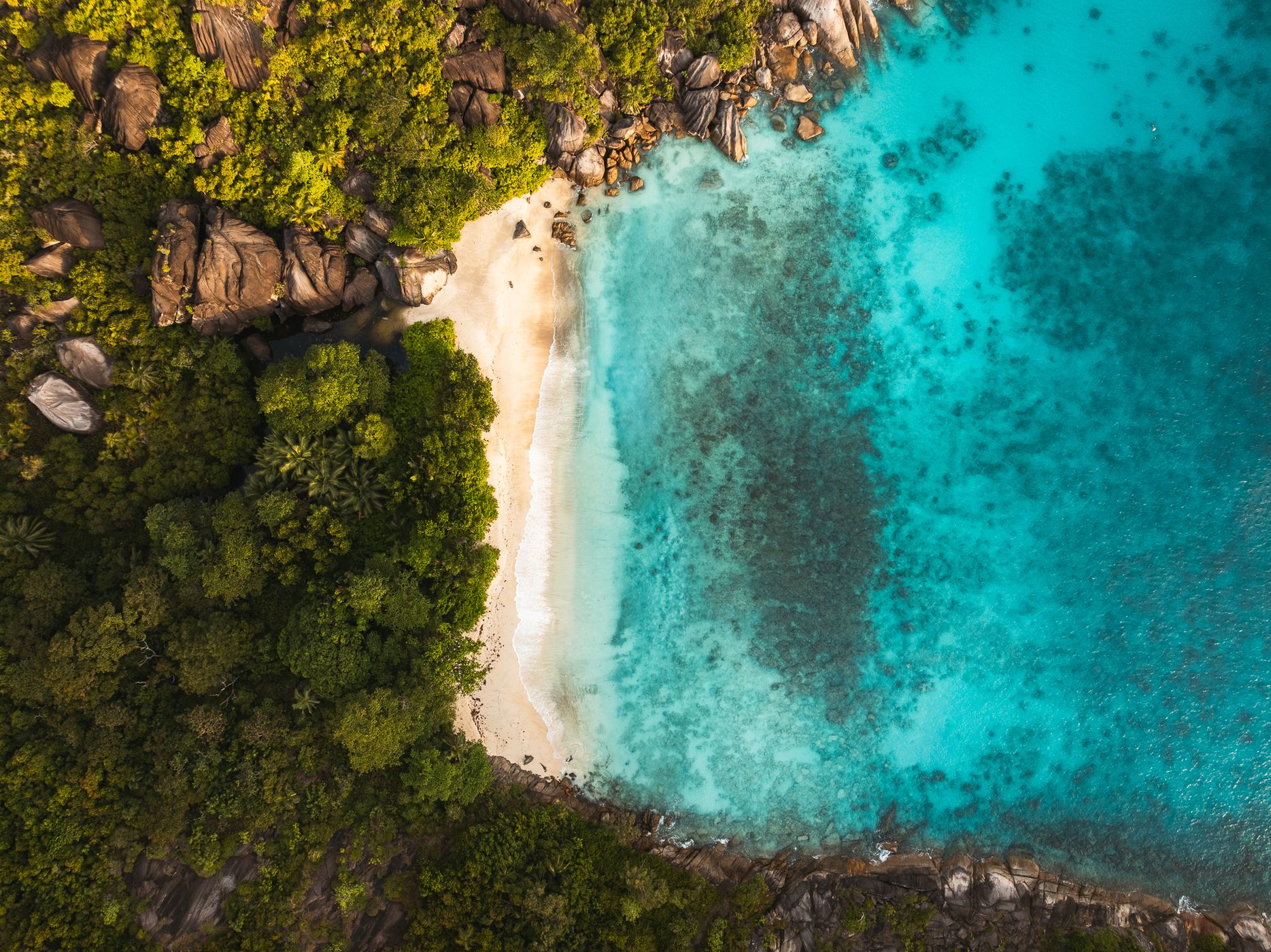

Seychelles Anse du Riz (Diri) top down
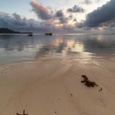
Anse du Riz is a beuatiful cove preserved in Baie Terney NP. You'll probably be alone as the only way to get there is to hike.
Photography Tips
Check local drone regulations first. You might need to obtain a permit from the local authorities. This beach is in a national reserve so you need to get a permit from Seychelles Aviation authorities (directly on their website, you need to put exact date/time of flights after applying for a permit. It's free and should be done at least one month in advance).
Travel Information
First you need to get to Baie Ternay : by car, drive along the west coast of Mahé Island towards Port Glaud. Park your car near the end of the road, then follow the walking trail for around 5 minutes to reach the beach. You can park at the GPS pin (approximative).
Then, on the right hand-side of the beach (when you're facing the sea), there is a light trail. You can also walk in the water if it's low tide (what I did) to reach Anse du Riz. It takes 30/45min by foot to reach this beach. You need to be careful with tides times otherwise you'll need to swim back to land and it's a very long way.
You can also reach it by boat, but I can't speak of experience.
Then, on the right hand-side of the beach (when you're facing the sea), there is a light trail. You can also walk in the water if it's low tide (what I did) to reach Anse du Riz. It takes 30/45min by foot to reach this beach. You need to be careful with tides times otherwise you'll need to swim back to land and it's a very long way.
You can also reach it by boat, but I can't speak of experience.
Spot Type
Drone
Crowd Factor
Nearly no other people
Best Timing
Sunset
Sunrise & Sunset
06:04 - 18:12
| current local time: 16:46
Photo Themes
Aerial Landscape
Aerial Photography
Aerial Shot
Aerial view
Beach
Cove
Drone
Island
Small island
top down
Tropical Island
Locations
Mahé





Spot comments (0)