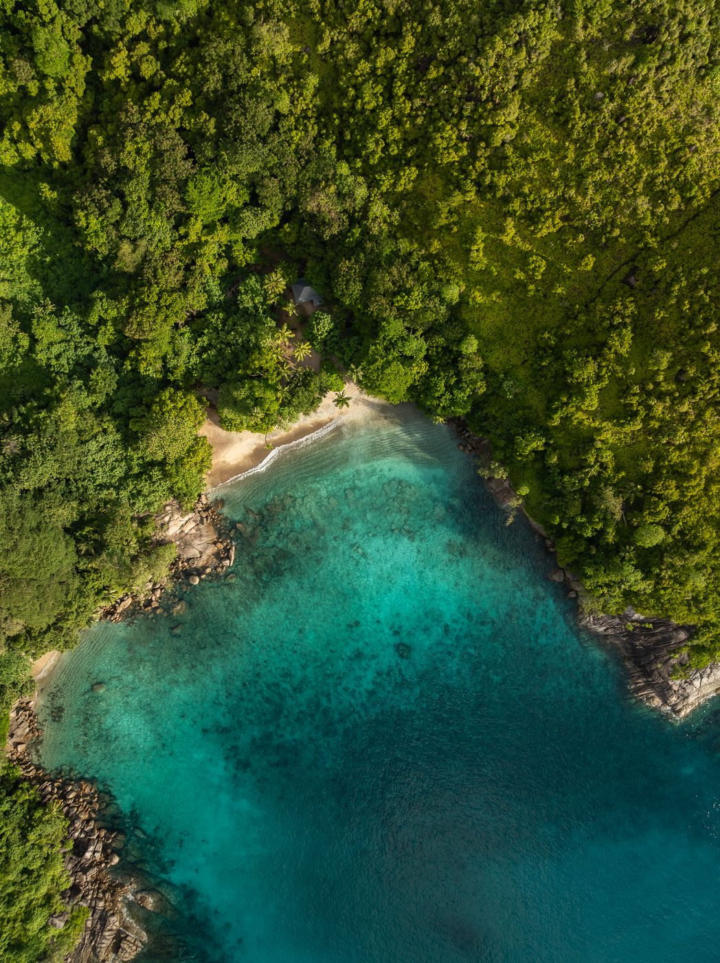

Seychelles Anse Major top down
Anse Major Beach is a beautiful beach that you can reach after a trail through the cliffs and forests.
Photography Tips
Check local drone regulations first. You might need to obtain a permit from the local authorities. Look out for sunset as the colors will be the best !
Travel Information
To get to Anse Major by car, drive to the end of Bel Ombre Road on Mahé Island. There is a parking area near the start of the Anse Major hiking trail (GPS pin). From there, you must walk along the trail for about 30/45 minutes to reach the viewpoint. From the viewpoint, you need to add a good 20min to reach the beach. You can also fly from the viewpoint. If you're afraid of spiders, the last part of the trail isn't for you.
Spot Type
Drone
Crowd Factor
Nearly no other people
Best Timing
Sunset
Sunrise & Sunset
06:04 - 18:12
| current local time: 20:44
Photo Themes
Aerial Landscape
Aerial Photography
Aerial Shot
Aerial view
Beach
Drone
Ocean
Palm Tree
Sandy Beach
top down
Locations
Mahé






Spot comments (0)