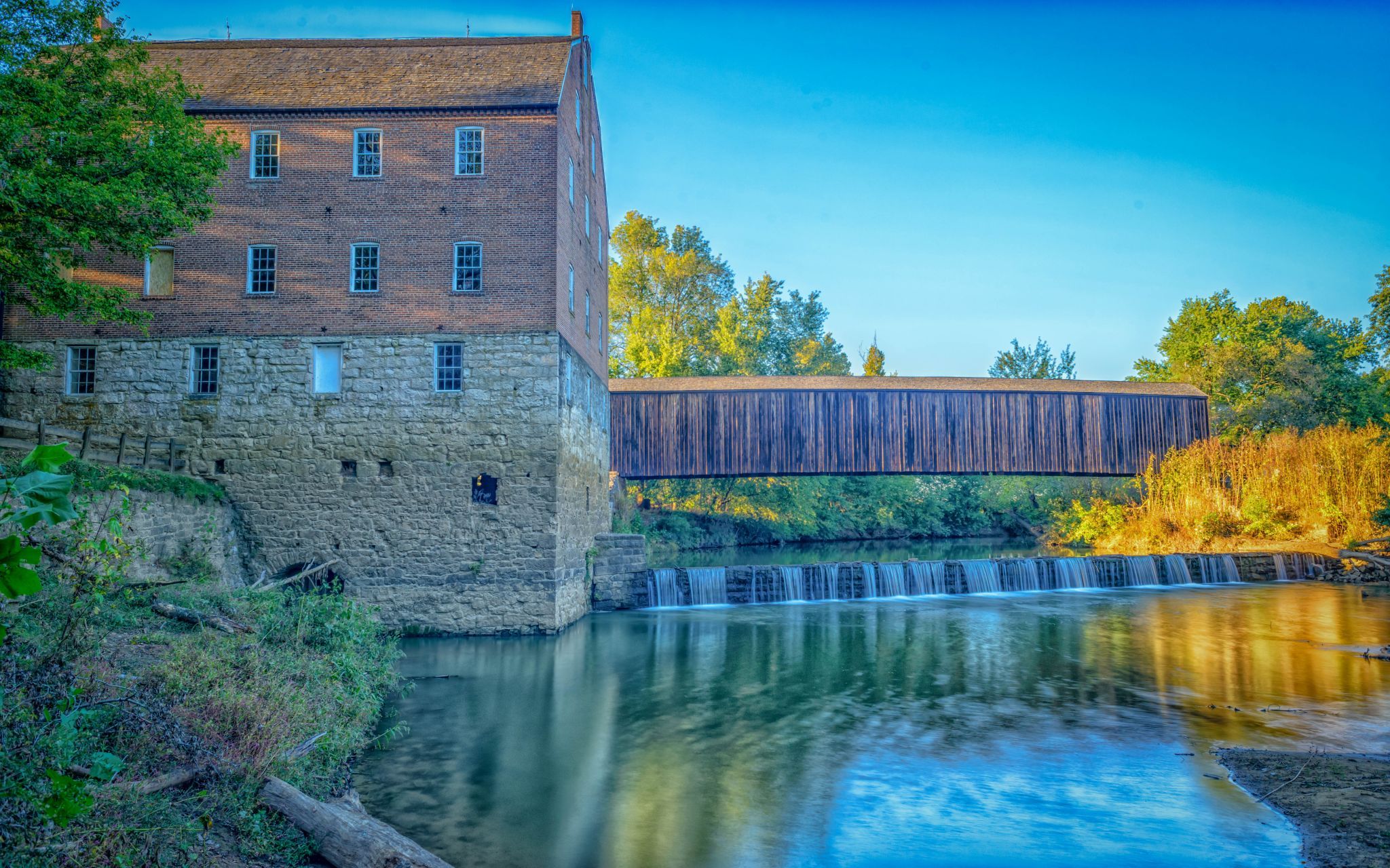
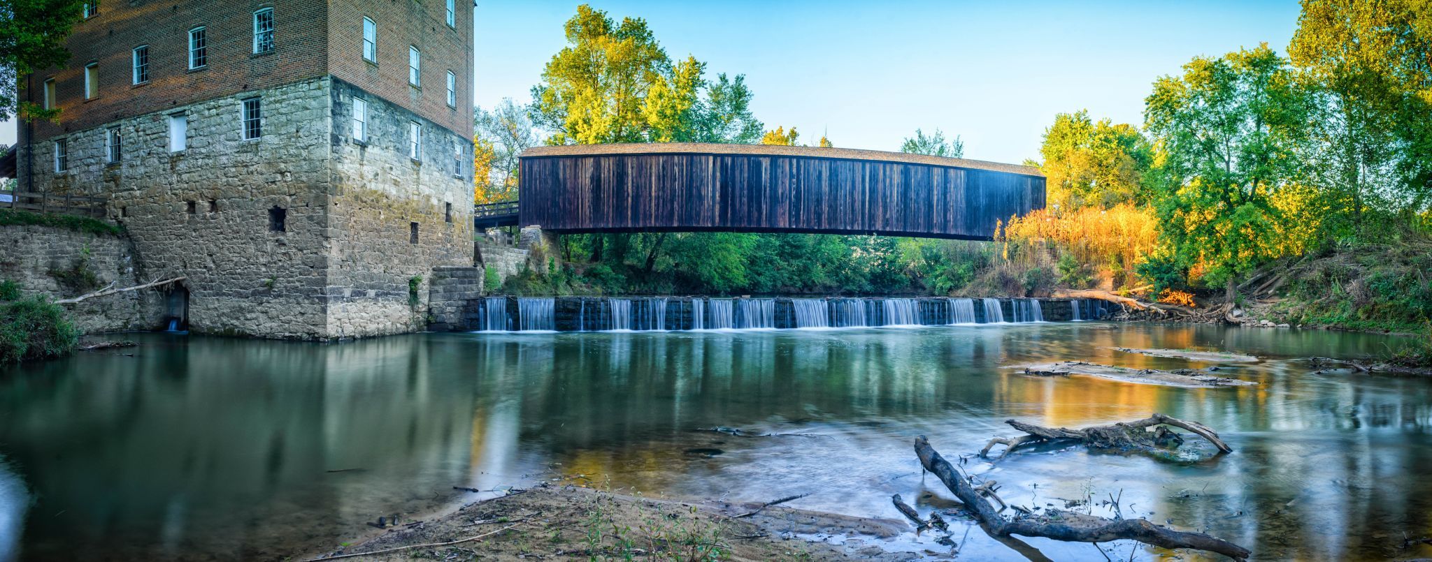
Bollinger Mill, USA
Rick Wilhoit
Rick Wilhoit www.flickr.com/photos/…
licensable
Bollinger Mill, USA
Rick Wilhoit
Rick Wilhoit www.flickr.com/photos/…
licensable
This photo is copyrighted by the author.
Thank you for respecting the rights and efforts of our photographers. Please contact the author for further information.

USA Bollinger Mill

  • Please log in or sign up for free to see the GPS coordinates & weather for this photo spot
The Burfordville Covered Bridge stands alongside Bollinger Mill and stretches 140 feet across the Whitewater River, which powered the mill. Both the covered bridge and the mill are listed on the National Register of Historic Places. Built in 1858, the covered bridge is the oldest of only four remaining covered bridges in the state of Missouri.

Photography Tips

Wear waders, sandals or go barefoot to get in the water for photos from this angle.

Travel Information

It is located in a state park, so there's lots of parking.
Spot Type Outdoor
Crowd Factor A decent amount of people
Best Timing Sunset during fall
Sunrise & Sunset 06:46 - 19:20 | current local time: 04:33
Photo Themes Covered Bridge Historic building State Park

Get the exact geo-position for this spot

Log in to see the GPS coordinates, sun directions, and the map for this photo spot. Or simply bookmark it along with other spots to plan your next trip.

Spot Comments (0)

Please log in or sign up for free to leave a comment or ask a question.

Ratings (1) starstarstarstarstar

starstarstarstarstar
1
starstarstarstarstar
0
starstarstarstarstar
0
starstarstarstarstar
0
starstarstarstarstar
0
Thank you Rick Wilhoit for creating this photo spot in USA.
Imprint & Contact © Locationscout 2024 Privacy / Terms