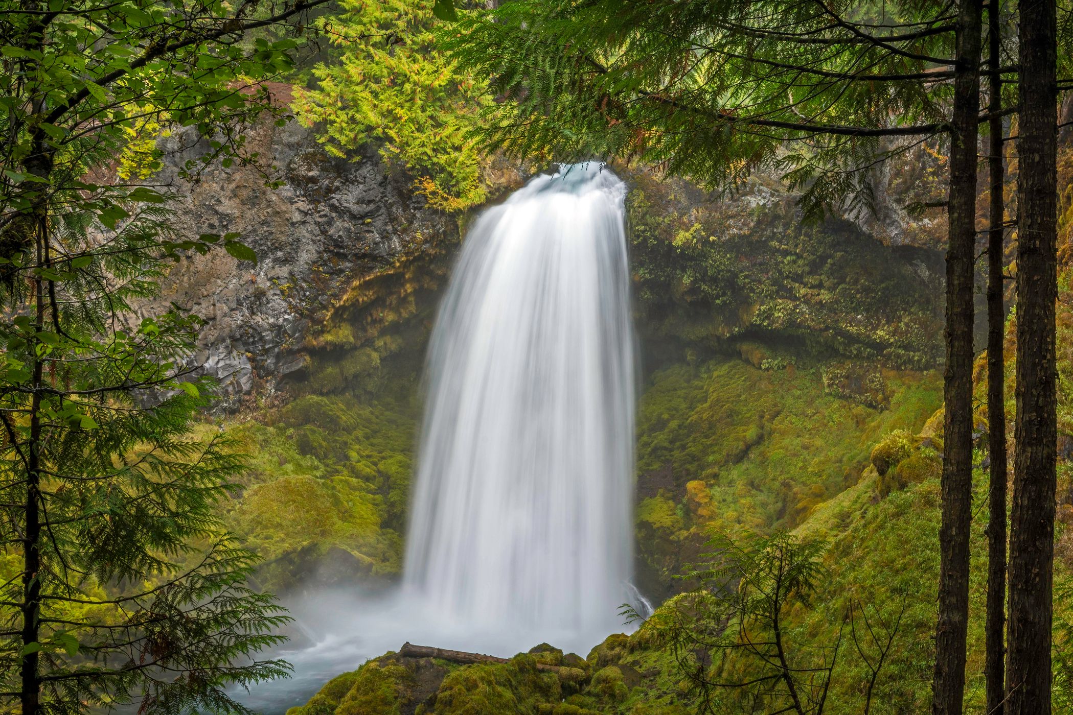


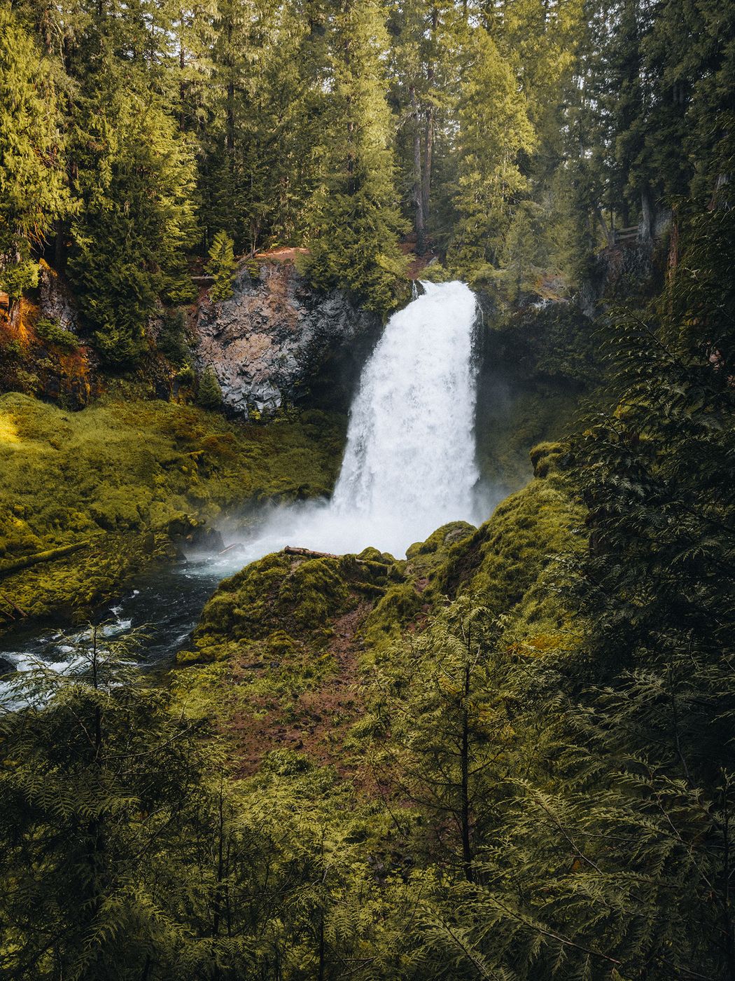

USA Sahalie Falls
Sahalie is a Chinook word that translates to “heaven,” “high,” or “upper,” and all of these meanings resonate. Sahalie Falls is the uppermost of three falls the McKenzie River makes in the first few miles from its headwaters at Clear Lake, and it is the tallest and most thunderous. Here the river roars over the 70-foot drop in a white rush, spraying the perennially green basin with mist and storming quickly on to Koosah Falls just downstream.
Photography Tips
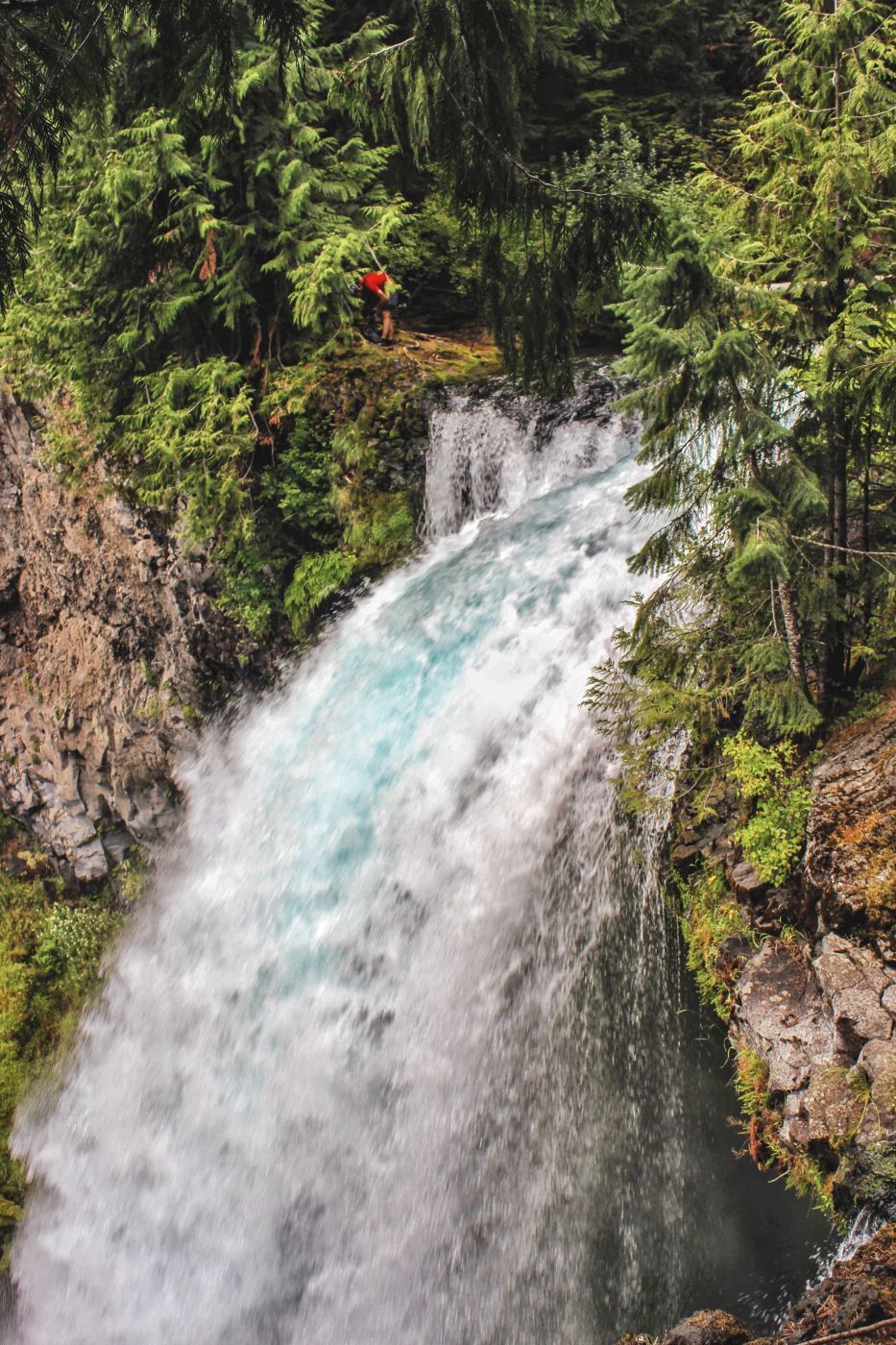
There is a universally accessible walkway to the viewpoints. Another short trial leads up to the crest of the falls and a view of the turbulent rapids downstream.
Travel Information
From Interstate 5 exit 194a in Eugene, Oregon, drive McKenzie Highway 126 east 68 miles. Beyond McKenzie Bridge 19 miles, near milepost 5, pull into the large, well-marked Sahalie Falls parking area. From the parking lot, walk 100 yards down to the railed viewpoint of the falls.
Spot Type
Outdoor
Crowd Factor
Nearly no other people
Best Timing
Sunrise in fall
Sunrise & Sunset
05:41 - 20:47
| current local time: 16:45
Photo Themes
Waterfall
Locations
Oregon


Spot comments (0)