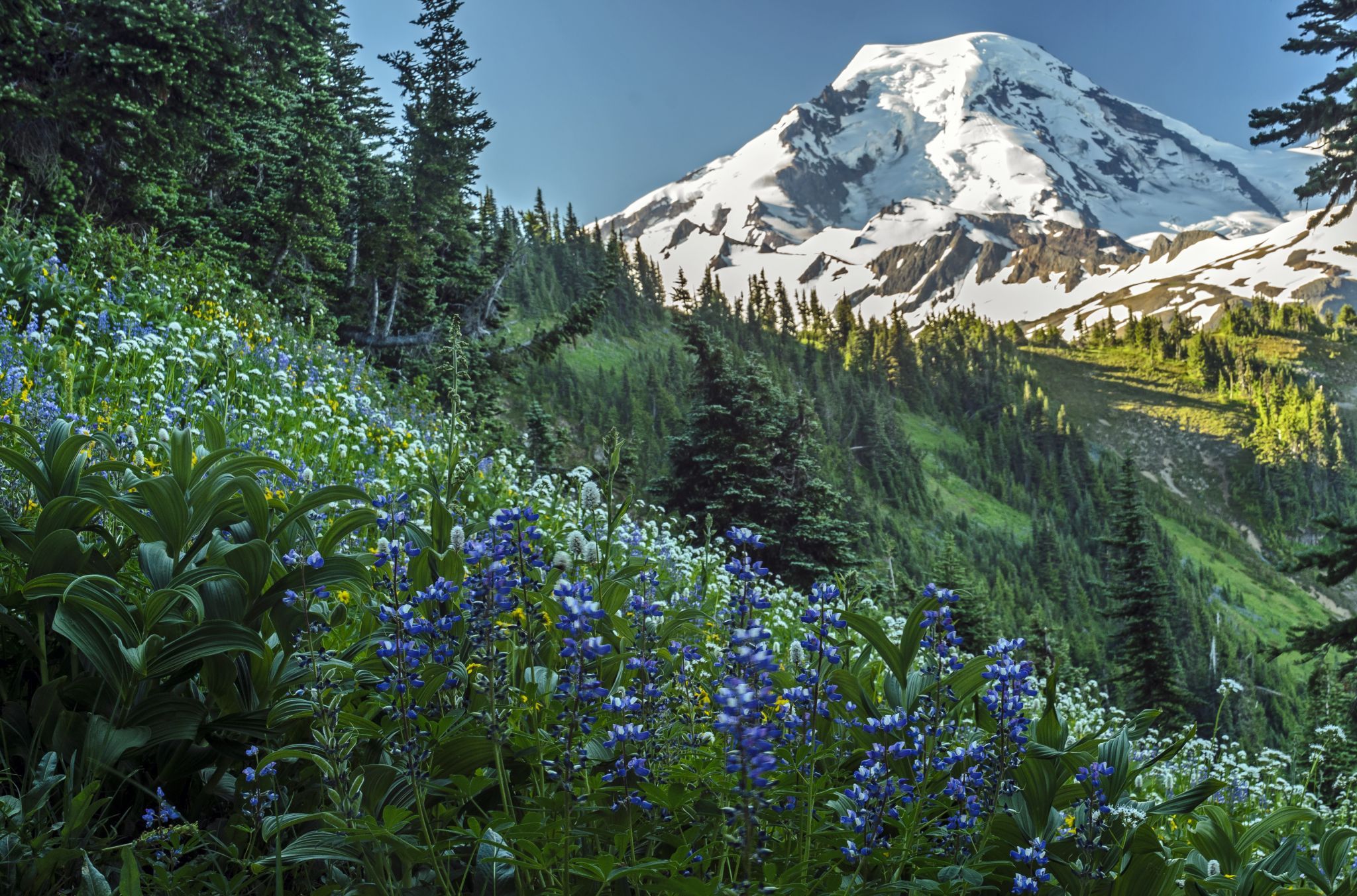

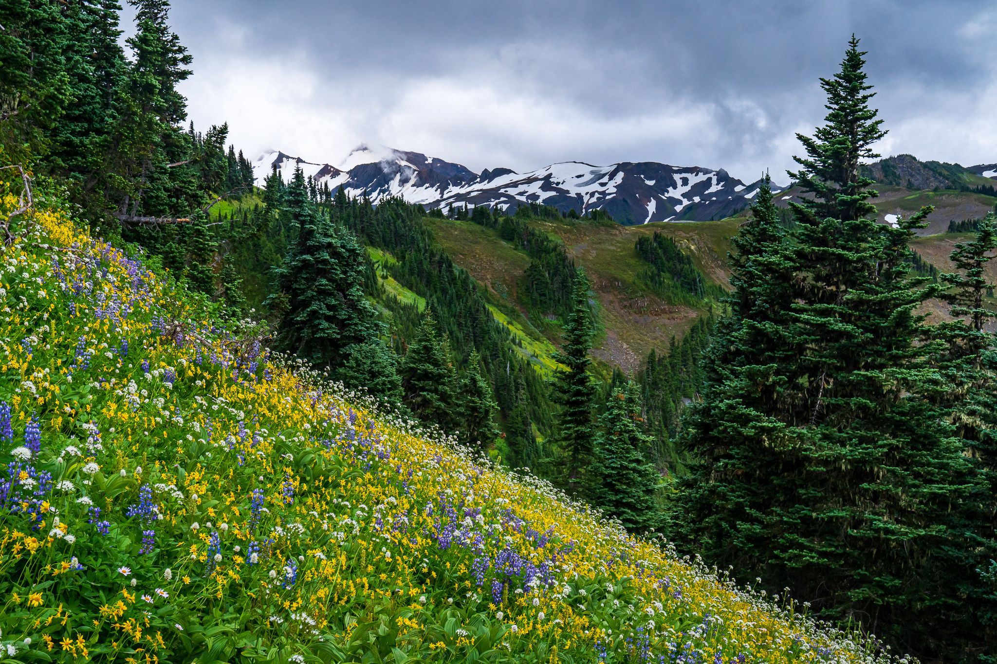

USA Skyline Divide
There are not too many hikes in Washington State that are more beautiful; then throw in the wildflowers in spring an you have an outstanding opportunity for great pictures. You have to catch the right weather but when you do this makes for a memorable day.
Photography Tips
Pack light, bring the polarizing filter and arrive early for better light and avoid the crowds. This is a popular hike for obvious reasons.
Travel Information
From Bellingham, take the Mount Baker Highway (SR-542) east 34 miles to the Glacier Public Service Center. Watch carefully for the junction with FR-39 (Glacier Creek Road), just 1 mile down the road. Follow the signs to the Skyline Divide Trail and turn left on FR-37 and drive to the trailhead,
Spot Type
Outdoor
Crowd Factor
A decent amount of people
Best Timing
Sunrise in spring
Sunrise & Sunset
05:24 - 21:02
| current local time: 00:45
Photo Themes
alpine
Mountains
Volcano
Wildflower
Locations
Washington State
North Cascades
Mount Baker


Spot comments (0)