
USA Valley of Fire
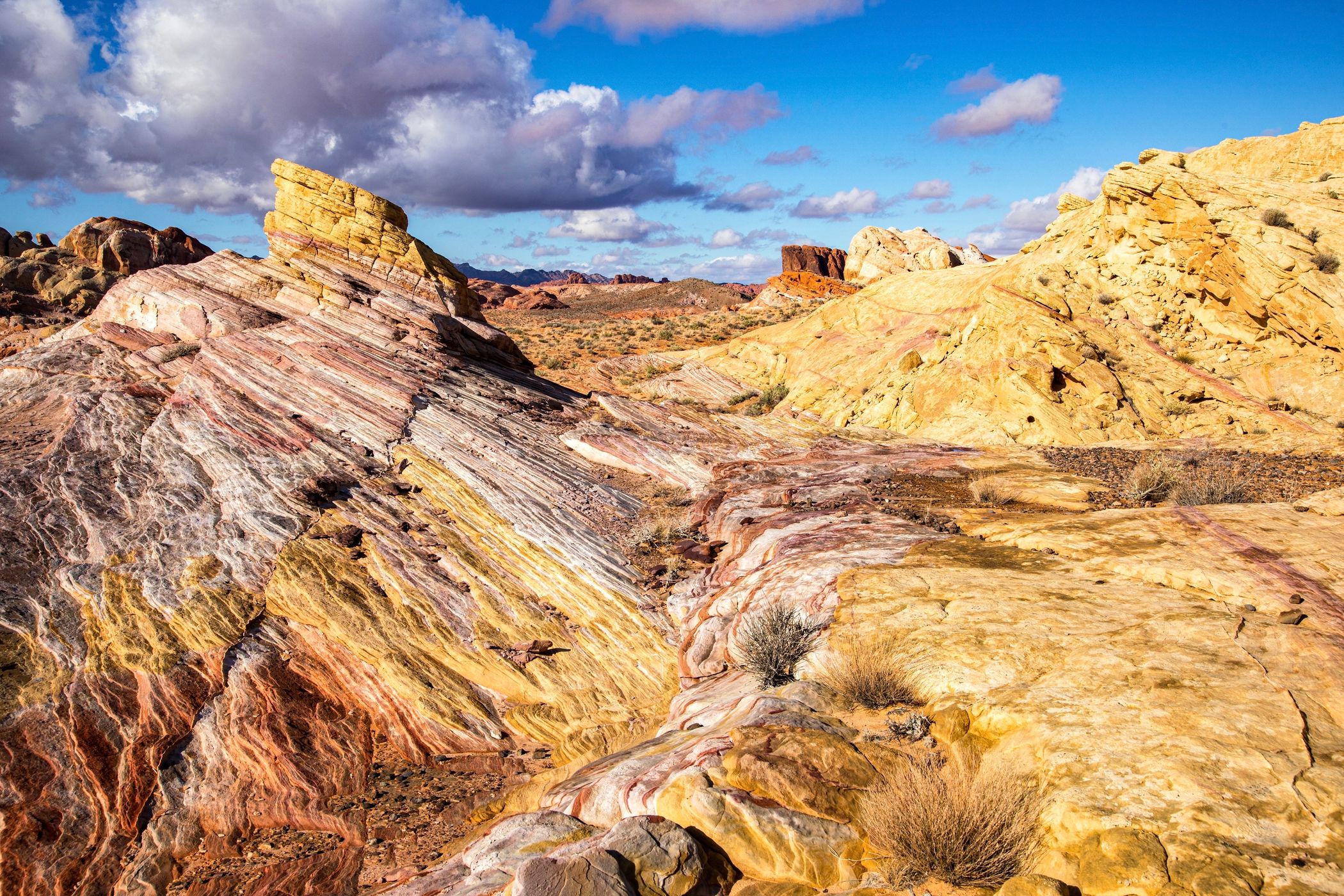
The park is a vast expanse of brilliantly colored swirling sandstone. There are also hundreds of arches and probably thousands of smaller “windows” scattered throughout the park.
Photography Tips
If you’re unable to locate this exact spot, don’t worry. One could spend hours wandering the surrounding slickrock for endless photo ops. Early morning/late afternoon works best. Even better after a recent rain when the sandstone’s color is even more saturated. Avoid hiking in the summer when temperatures routinely range around 110°F/43C.
Travel Information
From the Valley of Fire Visitor Center, drive north on Mouse’s Tank Road for 11 miles/17.7 km to a pullout on right (east) side of the road. There is also room for parking on the west side of the road. Walk northeast for about 0.3 miles/0.4 km to this spot.
Spot Type
Outdoor
Crowd Factor
Nearly no other people
Best Timing
Sunrise in winter
Sunrise & Sunset
05:44 - 19:44
| current local time: 01:07
Photo Themes
Sandstone Landscape
Locations
Nevada


Spot comments (0)