
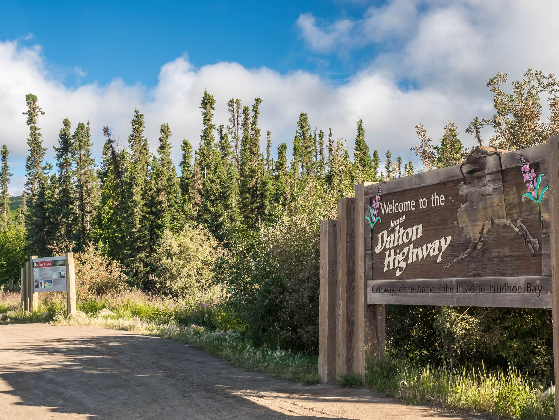
USA Dalton Highway Sign
On the North American continent, only two roads lead across the Arctic Circle and on to the far north. The only one in the USA is the Dalton Highway.
This spot is where it begins, the ‚Gateway to the Arctic‘ and the start of a week-long tour (there and back).
This spot is where it begins, the ‚Gateway to the Arctic‘ and the start of a week-long tour (there and back).
Travel Information
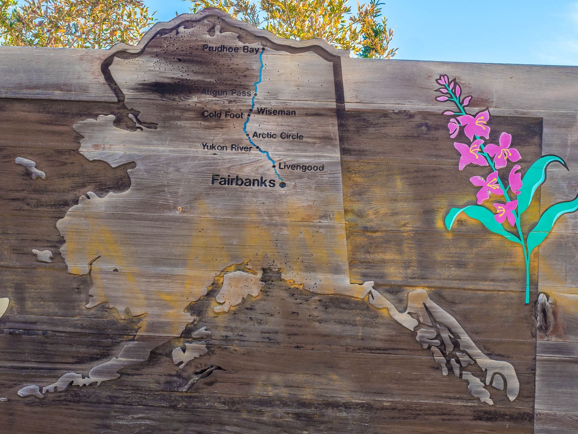
From Livengood, 134 kilometres north of Fairbanks, the Dalton Highway leads 662 kilometres through a remote, unpopulated part of Alaska to the Deadhorse industrial camp near the oil fields of Prudhoe Bay in the Arctic Ocean. Trucks still have priority on the route, which was built as a transport route for the trans-Alaska pipeline.
From Fairbanks, you first have to travel the mostly well-paved Elliott Highway to Livengood.
The Bureau of Land Management, which manages large areas of wilderness through which the road passes, has published a brochure about this route. It is available for free at the Fairbanks Visitor Centre.
Under the heading ‘Road Conditions’ the broshure sais: “The road is narrow and has soft shoulders, high embankments, and steep hills. There are lengthy stretches of gravel surfaces with sharp rocks, potholes, washboarding, and, depending on the weather, clouds of dust or slick mud. Intermittent sections of pavement can be deceptively smooth, until unexpected and sometimes very deep potholles. Watch out for dangerous curves and loose gravel, especially between Livengood and the Yukon River. You may encounter snow and ice north of Coldfoot any month of the year.“
Spot Type
Outdoor
Crowd Factor
Nearly no other people
Best Timing
Daytime in summer
Sunrise & Sunset
02:29 - 01:23
| current local time: 23:05
Photo Themes
country road
dirt road
Gravel Road
Mountain Road
Road
roadtrip
Locations
Livengood
Spot comments (0)