
USA Rollercoaster Area
A road was built to construct and maintain the trans-Alaska pipeline and to transport workers and materials north to the oil field.
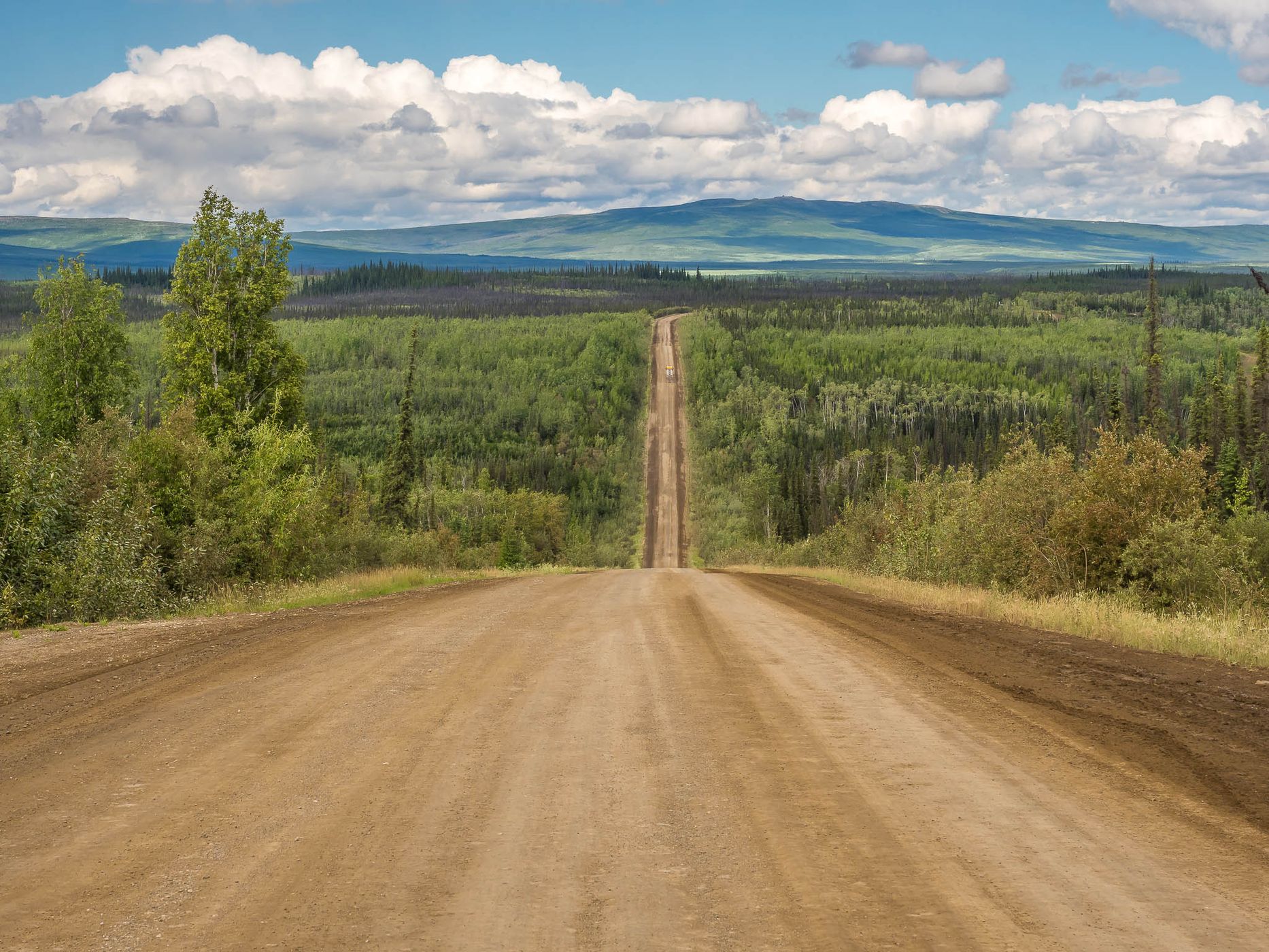
Northwest of the Five Mile Campground (five miles northwest of the Yukon River), the highway runs over a series of steep hills, which truckers gave names like ‘rollercoaster’ in the early years of the pipeline.
Northwest of the Five Mile Campground (five miles northwest of the Yukon River), the highway runs over a series of steep hills, which truckers gave names like ‘rollercoaster’ in the early years of the pipeline.
Travel Information
The Bureau of Land Management brochure states under the heading ‘Ultimate Road Adventure’: “The Dalton Highway is a rough, industial road that begins 84 miles / 134 km north of Fairbanks and ends 414 miles / 662 km further north in Deadhorse, the industrial camp at Prudhoe Bay. It provides a rare opportunity to traverse a remote, unpopulated part of Alaska to the very top of the continent. Traveling this farthest-north road involves real risk and challanges.“
Spot Type
Outdoor
Crowd Factor
No info yet
Best Timing
All timings are equally good
Sunrise & Sunset
04:04 - 00:09
| current local time: 10:07
Photo Themes
dirt road
Gravel Road
Mountain Road
Road
Road Trip
roadtrip
Locations
Five Mile Campground


Spot comments (0)