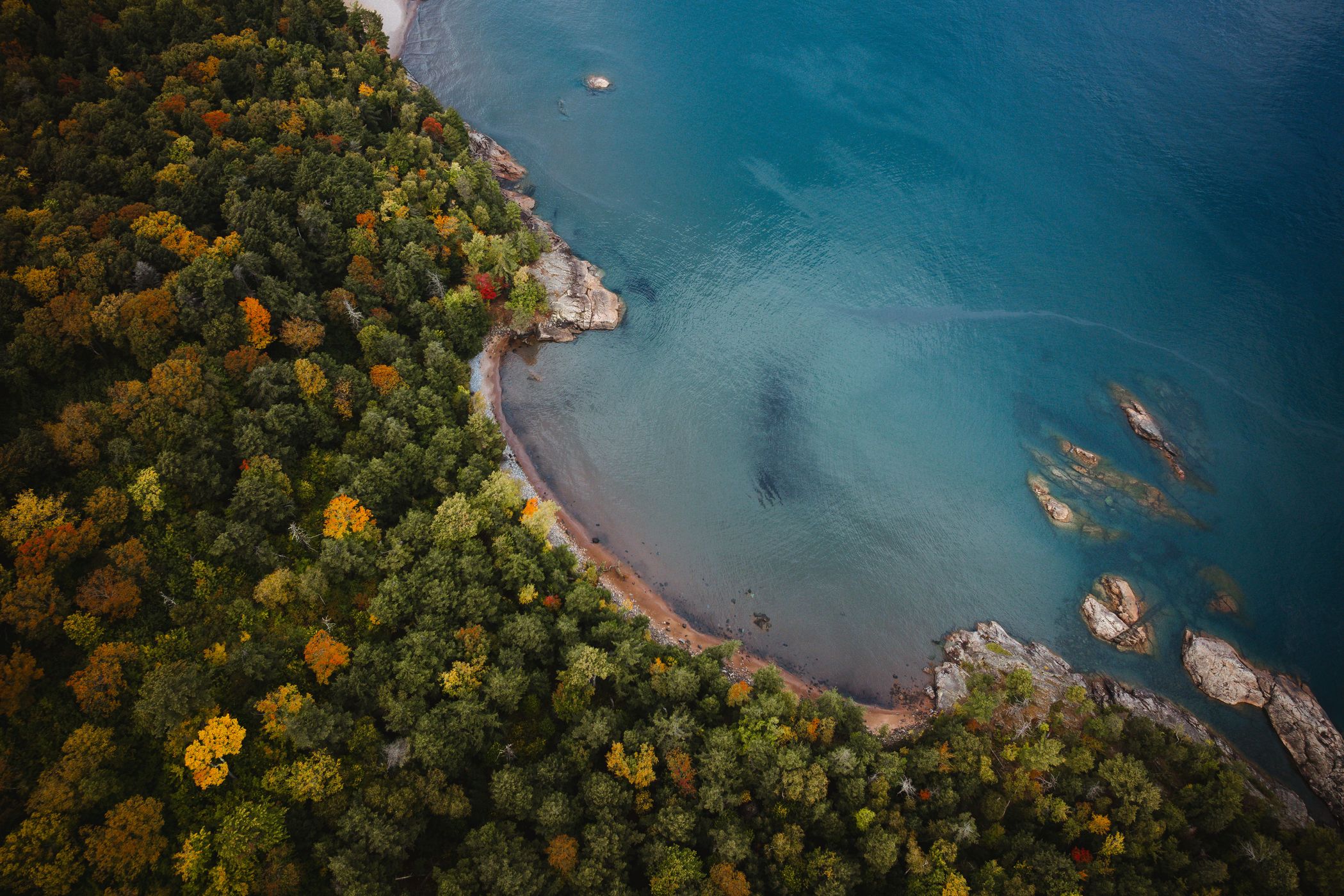

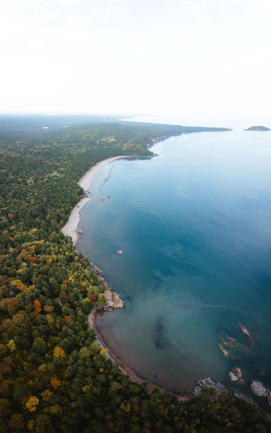
USA Coastline near 4 Peaks Track, Lake Superior
The “4 Peaks” route is a well-known classic in Marquette, used for decades by runners, skiers, cyclists and hikers. It links the area’s four most distinctive summits (Hogback, Top of the World, Bareback and Sugarloaf) and offers wide-open views across a sea of leaves all the way to Lake Superior.
Photography Tips
Before you fly in the USA you need to get your drone license and finish the registration process.
Top down is a good way to show the contrast between the green forest colors and the blue lake.
Top down is a good way to show the contrast between the green forest colors and the blue lake.
Travel Information
From the parking lot you can follow the signs for the track near the road. Make sure you have an offline card with you to get the exact track coordinates. For the loop you need around 16 kilometers. The elevation level is moderate as the peaks are not that high. Especially in autumn it's a stunning place where all leaves are changing its colors.
Spot Type
Drone
Crowd Factor
Just a few people
Best Timing
Sunset in fall
Sunrise & Sunset
06:21 - 21:31
| current local time: 11:05
Photo Themes
autum
autumn colours
Drone
drone shot
Forest
Lake
Lakescape
Locations
Wetmore Landing
Michigan
Marquette
Lake Superior


Spot comments (0)