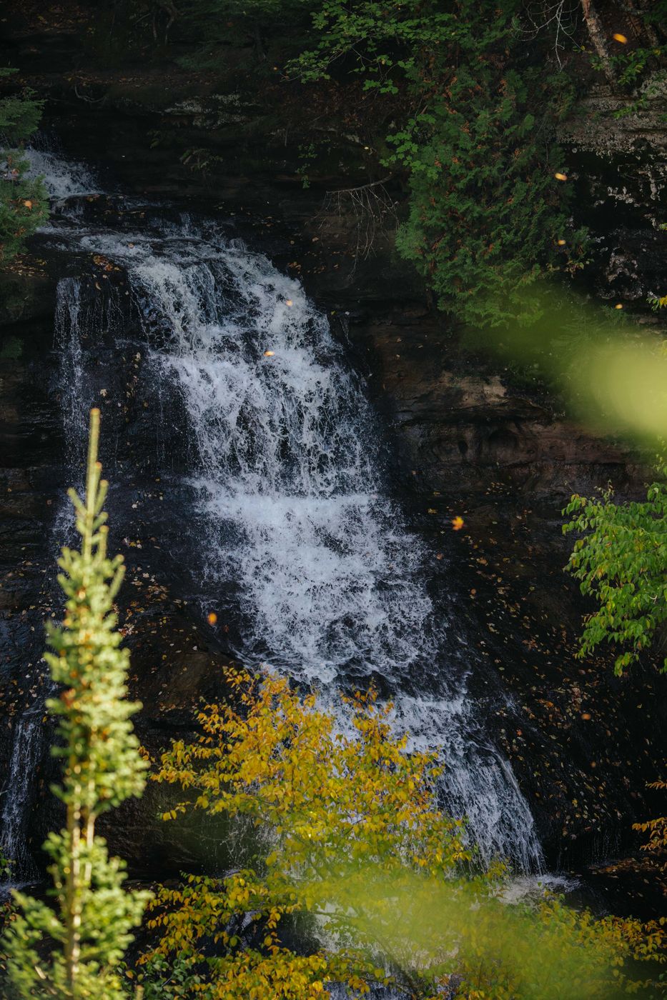

USA Chapel Falls, Pictured Rocks National Lakeshore
The Chapel Loop is a roughly 17-kilometre hike within Pictured Rocks National Lakeshore, a national park famous for its colourful sandstone cliffs, rushing waterfalls, and sweeping views of Lake Superior.
Photography Tips
Most of the daytime the waterfall in the shadow. I would recommend to wait until midday. From there the trees are getting light and you can combine the darker waterfall with colorful fall vibes.
Travel Information
Starting point is the Chapel Basin Parking Lot. From here the trail leads through lush green forests, river streams and waterfalls to the lakeside. It is a moderate way in depending on the kilometers but normally easy to do. Bring enough water and some lunch with you. There is nothing on the way.
Spot Type
Outdoor
Crowd Factor
Just a few people
Best Timing
Daytime in fall
Sunrise & Sunset
06:13 - 21:31
| current local time: 20:55
Photo Themes
autumn
autumn colours
fall
fall colors
Forest
Hike
Hiking
Hiking Trail
River
Water
Waterfall
Waterfront


Spot comments (0)