Valley of Fire Upper Mouse Tank, USA
Patrik
Patrik www.patrikorcuttphoto.…
licensable
2
This photo is copyrighted by the author.
Thank you for respecting the rights and efforts of our photographers. Please contact the author for further information.

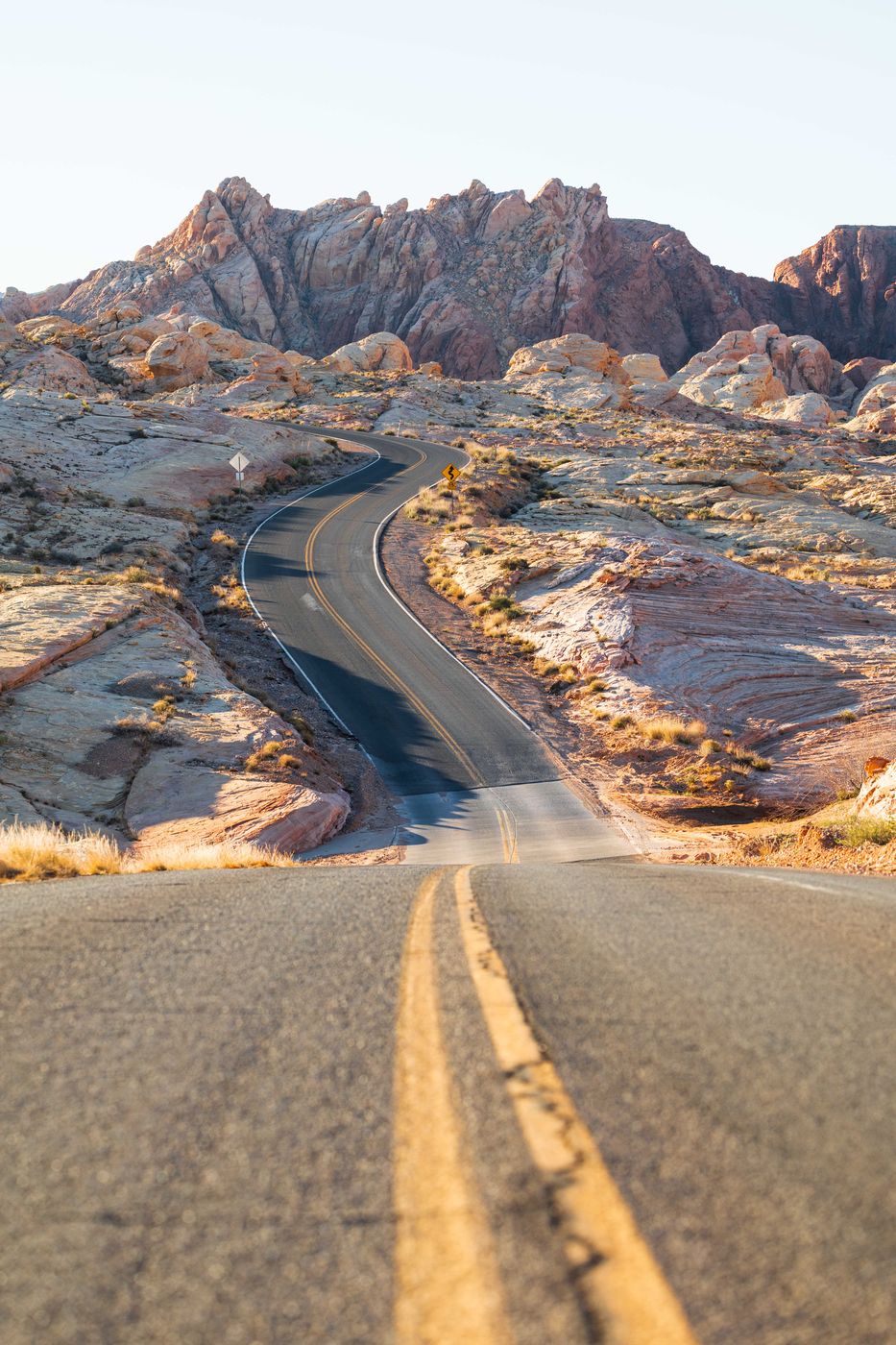
USA Valley of Fire Upper Mouse Tank

  • Please log in or sign up for free to see the GPS coordinates & weather for this photo spot
Sweeping curves of Mouse Trap Road as it winds through the sculpted sandstone landscape of Valley of Fire State Park. Shot from a low perspective centered on the double yellow lines.

Photography Tips

Sunrise is ideal for this composition. Low-angle light from the east rakes across the sandstone, highlighting texture and adding dimension to the layered rock formations. The warm tones contrast beautifully with the cooler shadows along the road.

Travel Information

Distance from Las Vegas: Approximately 50 miles northeast (about 1 hour)
Spot Type Outdoor
Crowd Factor Just a few people
Best Timing Sunrise
Sunrise & Sunset 05:19 - 19:54 | current local time: 04:34
Photo Themes Desert Desert Landscape Landscape

Get the exact geo-position for this spot

Log in to see the GPS coordinates, sun directions, and the map for this photo spot. Or simply bookmark it along with other spots to plan your next trip.

Spot comments (0)

Please log in or sign up for free to leave a comment or ask a question.

Ratings (1) star star star star star

star star star star star
0
star star star star star
0
star star star star star
1
star star star star star
0
star star star star star
0

Popular photo spots in this region

Thank you Patrik for creating this photo spot in USA and Kevin Kempf for improving it with additional photos or content.
Imprint & Contact © Locationscout 2026 Privacy / Terms