This photo is copyrighted by the author.
Thank you for respecting the rights and efforts of our photographers. Please contact the author for further information.

USA Minneapolis Minnesota City 'X'

  • Please log in or sign up for free to see the GPS coordinates & weather for this photo spot
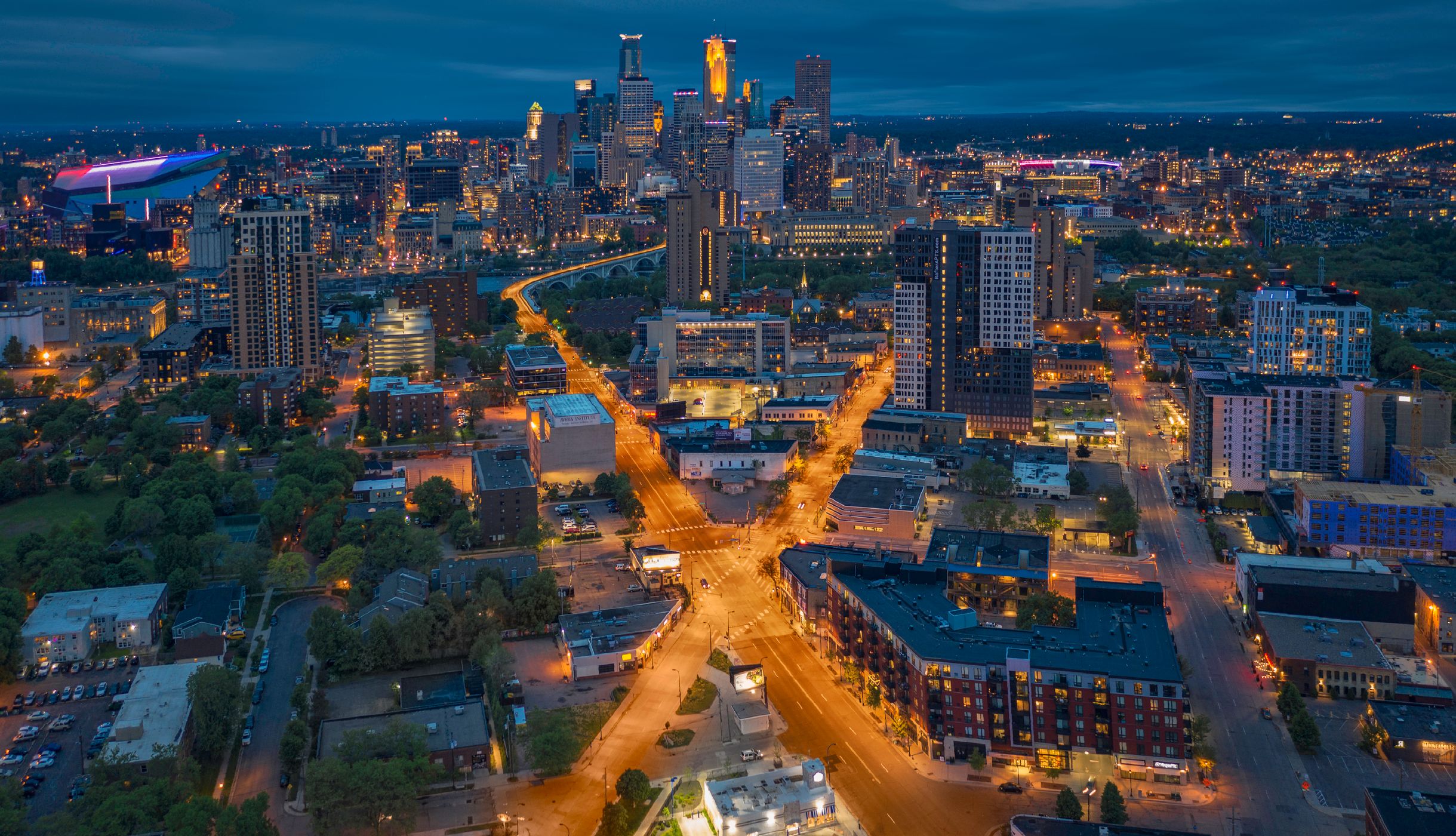
Interesting convergence of two major roads just north of downtown Minneapolis, Minnesota.

Photography Tips

The best effect is at dusk or blue hour when the street and city lights turn on and you can see the visual 'X' created by the yellow sodium vapor lights.

Travel Information

There is plenty of available free parking in the area and a number of possible launching spots for a fast and easy up/down shot.
Spot Type Drone
Crowd Factor A decent amount of people
Best Timing Blue hour/at night
Sunrise & Sunset 07:08 - 16:46 | current local time: 09:32
Photo Themes City City skyline Cityscape Downtown leading lines Skyline

Get the exact geo-position for this spot

Log in to see the GPS coordinates, sun directions, and the map for this photo spot. Or simply bookmark it along with other spots to plan your next trip.

Spot comments (0)

Please log in or sign up for free to leave a comment or ask a question.

Ratings (1) star star star star star

star star star star star
0
star star star star star
1
star star star star star
0
star star star star star
0
star star star star star
0

Popular photo spots in this region

Thank you Dan Anderson for creating this photo spot in USA.
Imprint & Contact © Locationscout 2026 Privacy / Terms