
Vietnam Ta Van Village & Muong Hoa Valley
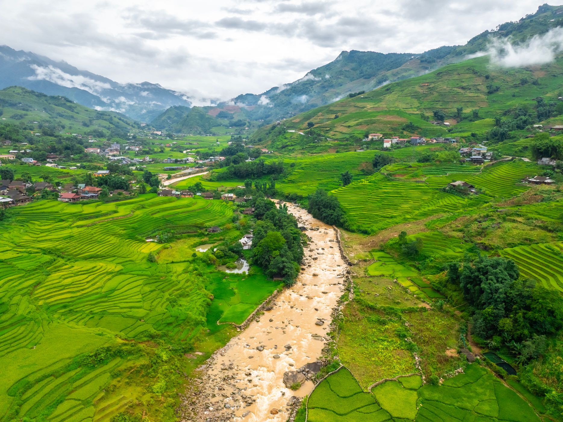
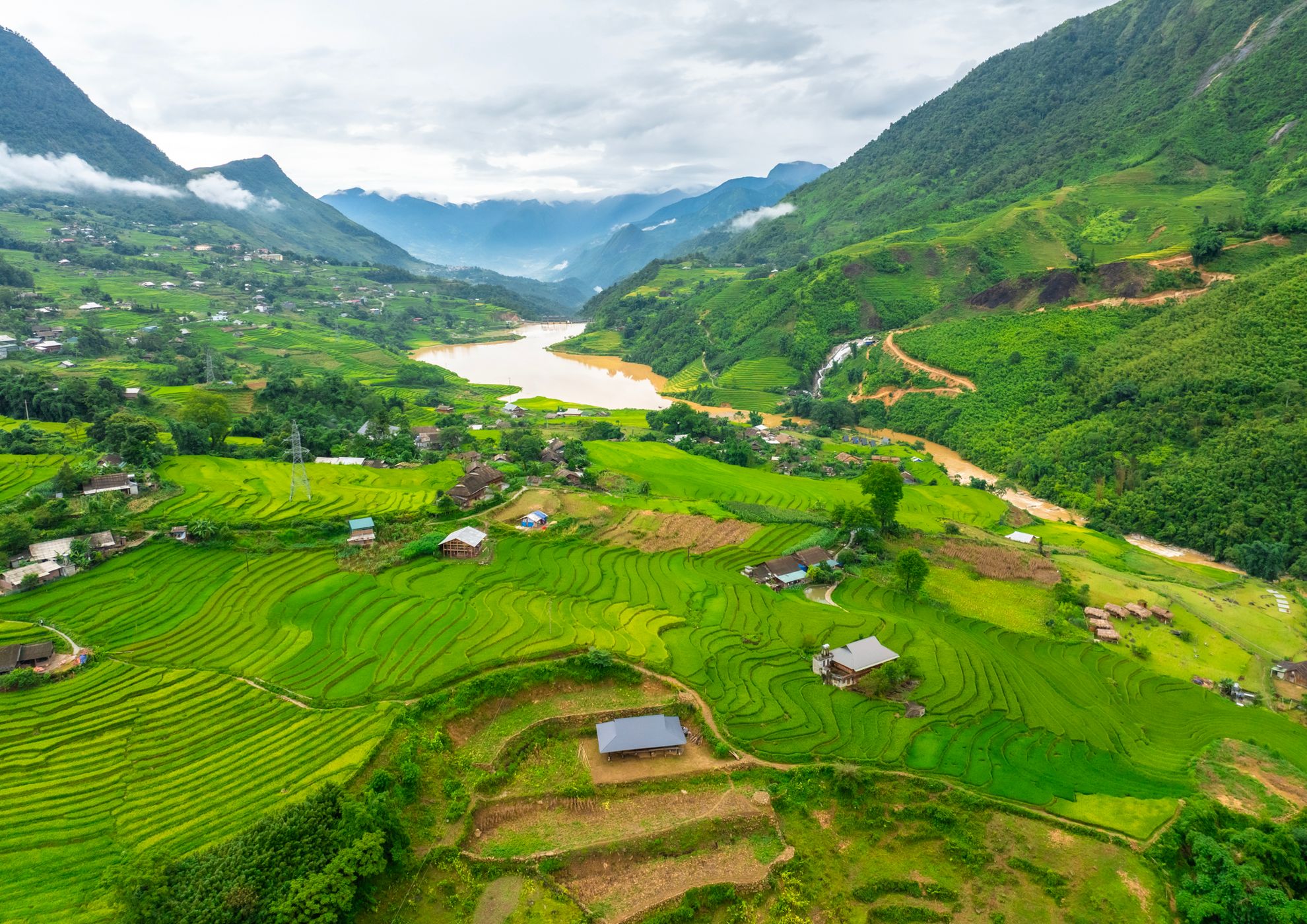
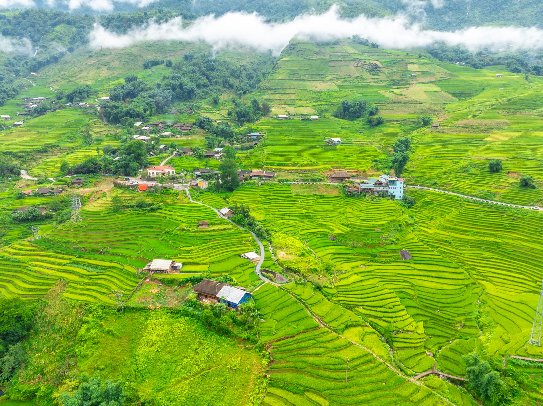
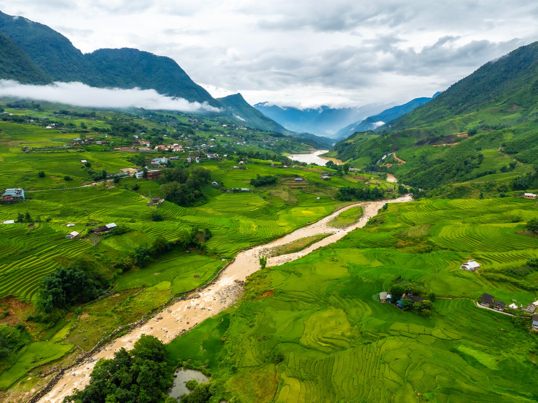
Nestled deep within the iconic Muong Hoa Valley near Sa Pa, Ta Van is an idyllic mountain village famous for its sweeping, multi-tiered rice terraces and rich ethnic Giay and Hmong heritage. The poetic Muong Hoa Stream winds directly through the center of the valley, carving a golden path through lush green fields and traditional wooden stilt houses.
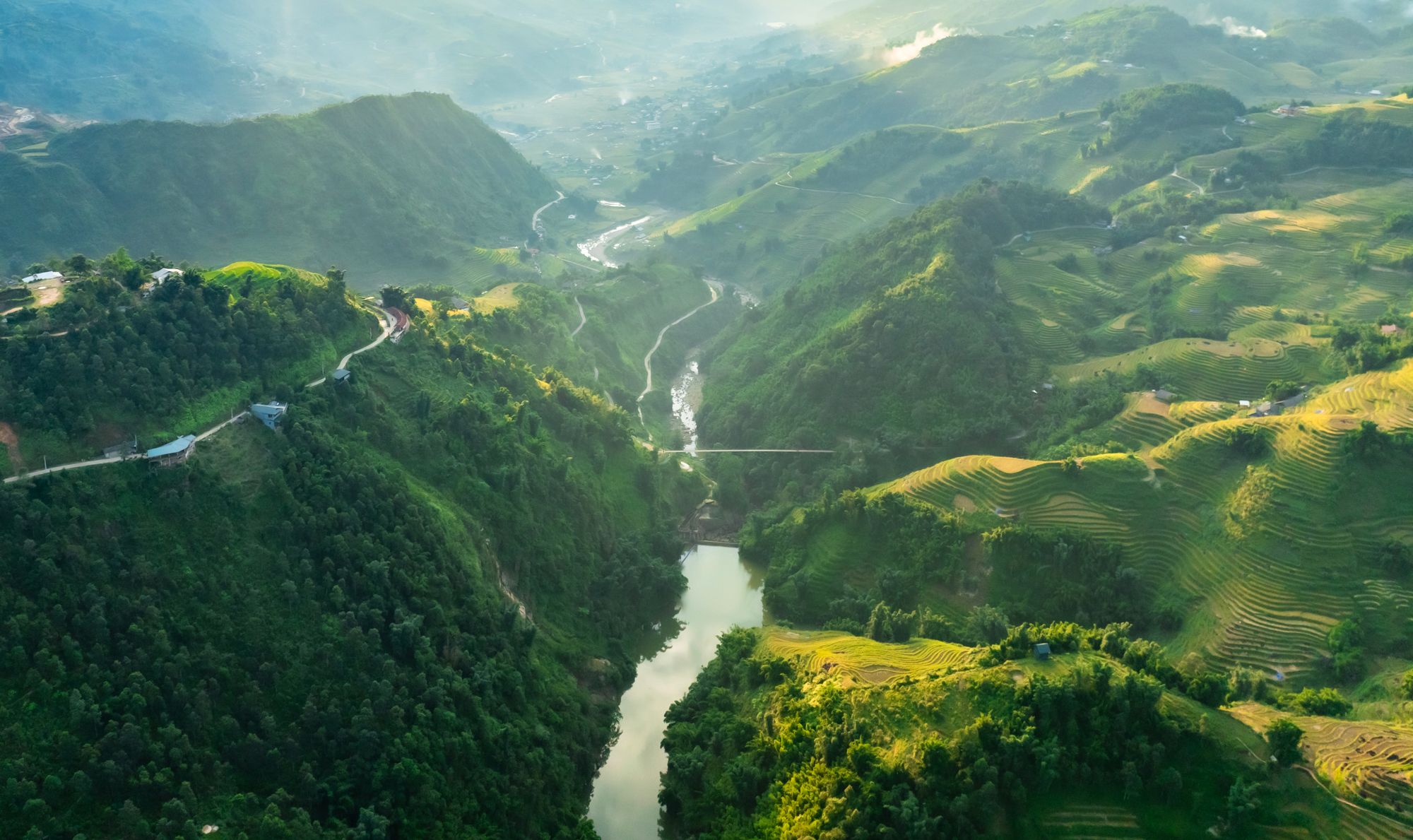
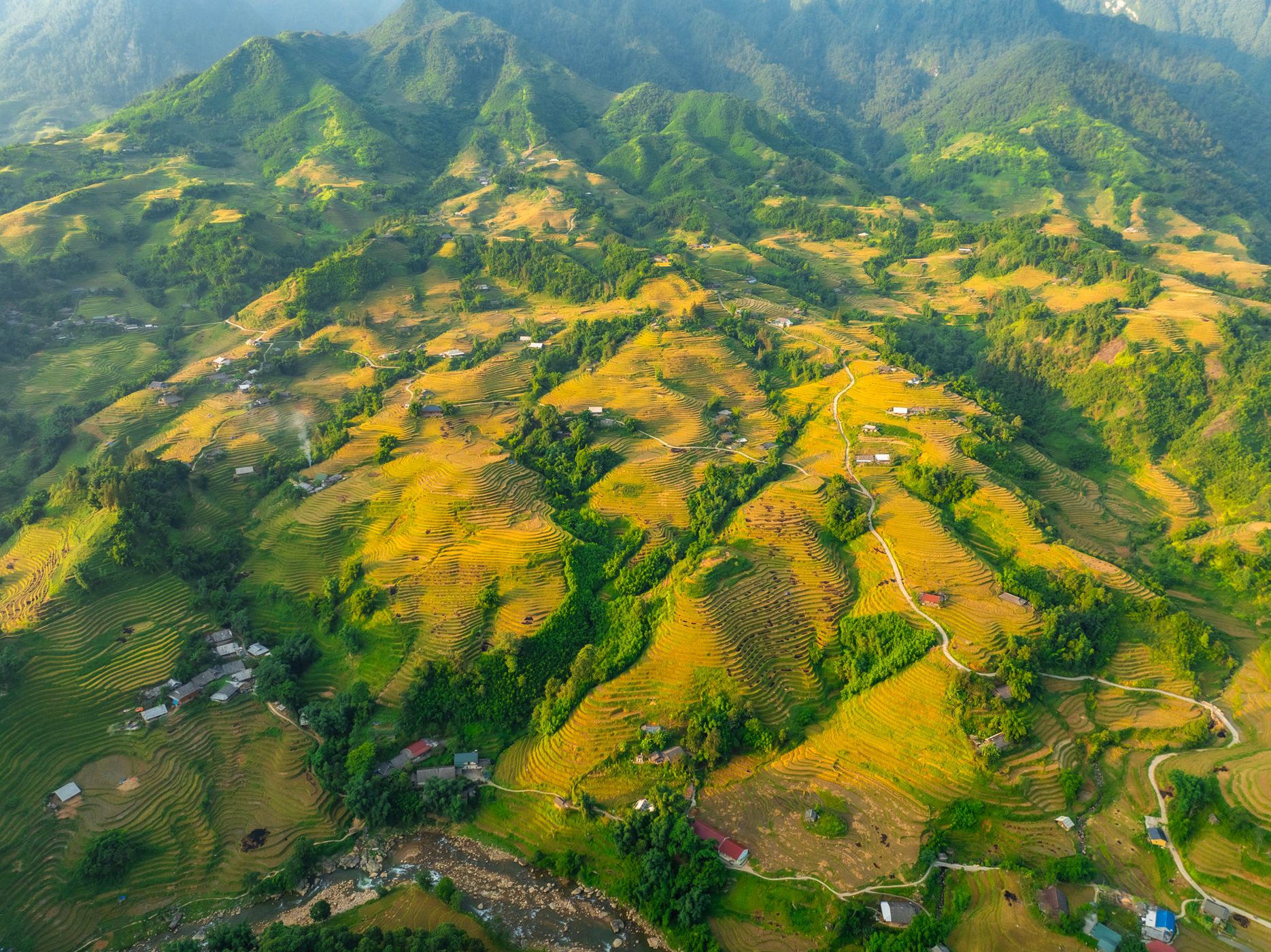
Captured from above with a drone, the endless layers of terraced fields cascade down steep mountain slopes like giant green waves, often framed by soft morning mist and low-hanging clouds. It is a world-class destination for landscape, aerial, and travel photography.
Captured from above with a drone, the endless layers of terraced fields cascade down steep mountain slopes like giant green waves, often framed by soft morning mist and low-hanging clouds. It is a world-class destination for landscape, aerial, and travel photography.
Photography Tips
Best Time: Early morning (6:30 AM – 9:00 AM) for soft sunlight and dramatic mountain mist flowing through the valley. Visit during July to August for lush emerald green terraces, or late August to September for golden harvest season.
Best Gear: A drone (flycam) is essential to capture the grand scale of the valley, winding stream paths, and cascading field layers. From the ground, a wide-angle lens (16-35mm) captures expansive valley vistas, while a 24-70mm lens is ideal for detailed village compositions.
Composition: Use the curving S-shape of Muong Hoa Stream as a natural leading line through the terraced landscape, framing the majestic Hoang Lien Son mountain range in the background.
Travel Information
Located about 8 to 10 km southeast of Sa Pa town center. Accessible by car, taxi, or motorbike along the scenic, winding mountain road down into Muong Hoa Valley.
Visitors can drive directly into Ta Van village and park along the roadside near the main village entrance bridge, local homestays, or designated tourist parking areas.
Visitors can drive directly into Ta Van village and park along the roadside near the main village entrance bridge, local homestays, or designated tourist parking areas.
Spot Type
Drone
Crowd Factor
A decent amount of people
Best Timing
Daytime
Sunrise & Sunset
06:06 - 17:29
| current local time: 03:32
Photo Themes
cloud inversion
Drone
Landscape
Mountain
Rice Field
River
rural
Valley
Locations
Ta Van Village
Sa Pa
Lao cai


Spot comments (0)