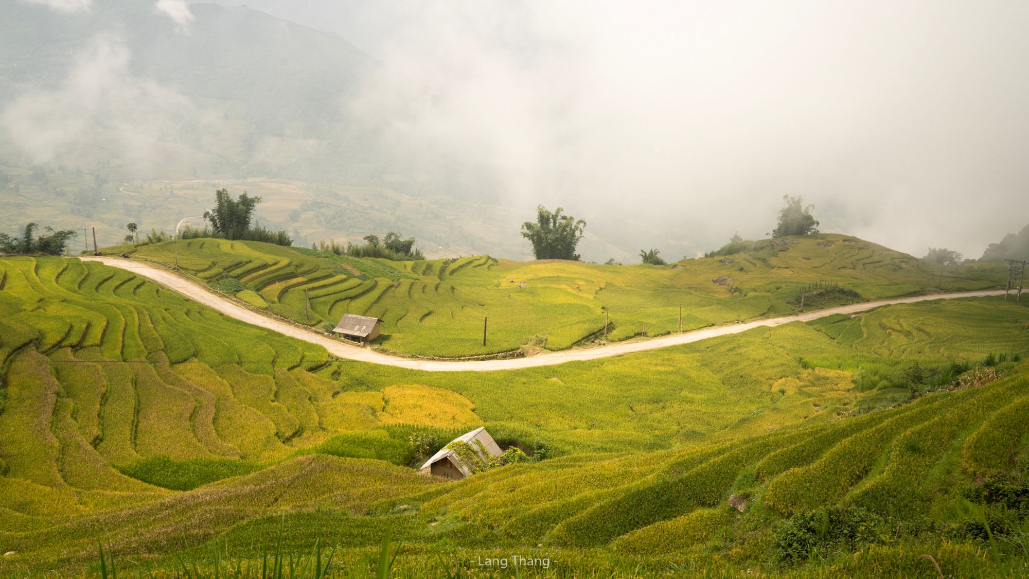





Vietnam Y Ty & Ngai Thau Cloud Hunting Spot
Situated at an altitude of over 1,800 meters in Bat Xat district, Ngai Thau and Y Ty are legendary destinations for cloud hunting and highland landscape photography in Northern Vietnam. Winding concrete roads snake across golden terraced rice fields while thick, ocean-like cloud inversions roll through the valleys below. From high viewpoints, photographers can capture the magical boundary where lush green-and-gold crops meet fluffy white cloud blankets under clear blue skies. The combination of dramatic mountain topography, traditional Ha Nhi and Hmong earth-walled houses, and ethereal cloud formations makes this a premier bucket-list spot.
Photography Tips
Best Time: Early morning (5:30 AM – 8:00 AM) or late afternoon during the cloud season (September to April) for dense sea-of-cloud formations. September is especially magical when cloud inversions coincide with the golden harvest season.
Best Gear: A wide-angle lens (16-35mm) is perfect for expansive landscape perspectives combining roads, rice fields, and cloud layers. A drone (flycam) offers spectacular top-down angles of S-shaped mountain roads cutting through terraced slopes.
Composition: Frame the curving mountain road as a leading line sweeping through the terraced fields toward the sea of clouds and distant blue peaks.
Travel Information
Located about 70 km from Lao Cai City and 80 km from Sa Pa town via DT158 highway. The mountain roads are steep and winding, best navigated by experienced motorbike riders or 4WD vehicles
Visitors can park safely along wider dirt shoulders near the Ngai Thau viewpoint ridge or at local homestay yards along the main road.
Visitors can park safely along wider dirt shoulders near the Ngai Thau viewpoint ridge or at local homestay yards along the main road.
Spot Type
Drone
Crowd Factor
A decent amount of people
Best Timing
Daytime
Sunrise & Sunset
06:07 - 17:30
| current local time: 15:46
Photo Themes
clouds
Drone
Landscape
Mountain
Rice Field
sea of clouds
Locations
Lao cai
Bat Xat District
Y Ty Commune


Spot comments (0)