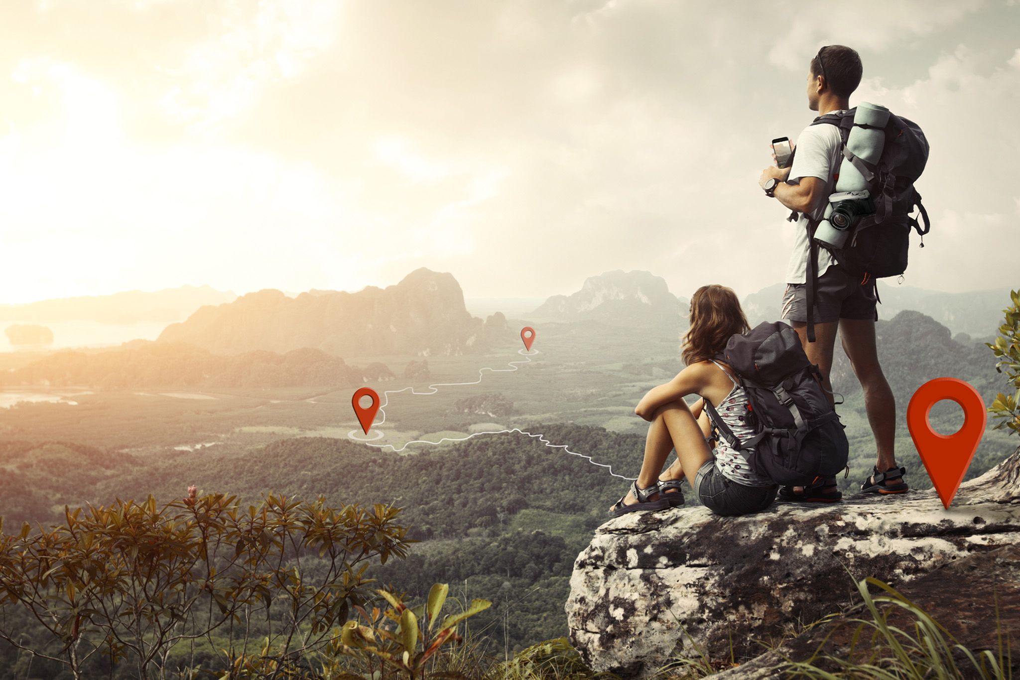

Wether you want to share your images here on Locationscout and on other platforms like Instagram or if it’s just for yourself to find the locations of your nicest shots again, geo-data can be very helpful. So here are 8 easy tipps about adding GPS details to your photos.
When using a smartphone for your photography, GPS tagging is not a big issue because it will be done by the device automatically. Be sure that the location service on your smartphone isn’t disabled.
However, most of you are probably using a true camera with a bigger sensor and a nice lens to achieve the best possible quality. Some of these cameras already have a GPS receiver inside and others can be connected to your smartphone to get the GPS data from the phone. Receiving GPS data from the phone can be annoying and some onboard GPS receivers are very battery consuming. If you have the same experience or possibly a camera system without any GPS function, I would like to list several ways to record GPS data and then introduce you to one little tool to write that GPS data into your images (JPG and RAW).
Important note: For all options please set your camera clock as accurately as possible.
If you linger at one location
When you plan a photo shoot at a special location to shoot that single perfect photo or maybe a complete series of photos, you can just shoot one extra photo with your smartphone, and the GPS data of your location is stored in that separate smartphone photo.
If you do a medium-length photo walk
If you are en route in a more or less plain landscape and your tour is not longer than a few hours, I recommend using a smartphone app that can record GPS data and save that data into a .gpx file. One example is "MyTracks" but I am sure that there are more options available. When starting the logging in that app, every few seconds the software will create an entry with a time stamp and the current GPS position and add that entry to the .gpx file. So as long as you are shooting and the app is logging there will be an entry in that .gpx file that is very close or equal to the time stamp of your photo (that's why it is so important to set the clock in your camera very precise). As soon as your environment gets hilly the GPS antenna of your smartphone could not be the best option and the logger records inexact GPS data. That’s why you may want to read the next paragraph. Furthermore, GPS logging on a smartphone is battery-consuming, so if you plan a longer tour I would recommend a separate battery pack for charging your smartphone.
If you are on an extended hiking tour in a mountainous landscape
On longer tours in a hilly environment logging with a smartphone could not be the best option. On the one hand, GPS logging discharges your battery very fast and you may need your phone on your tour on the other hand the GPS antenna in many phones is not the best. Clothes, trees, and hills decrease the GPS signal so the position data will be imprecise or the signal will be entirely lost. For this case, I recommend a dedicated GPS navigation device. They are made for outdoor activity and next to GPS logging you have a reliable source for your current position when you lose your track. I have a Garmin Dakota 20, but other devices that can record geo-data into .gpx files probably work the same way. My device works around 8 hours with two standard batteries which you can change when you are on a longer trip. Furthermore, the antenna is strong enough when I just put it into the outer pocket of my backpack (GPS doesn’t need any visible contact with the satellite). It is not needed to set the clock in that device because the precise time will be transmitted with the GPS data from the satellite (UTC).
What if you forgot to record any GPS track or photo with GPS?
Thanks to the satellite images in Google maps in most cases it is easy to find out where you have been as long as you remind your trip. After finding your location you can find out the exact GPS data by right-click -> What’s here. Thats painstacking work and time consuming but in case thats your single chance it could be worth the effort.
How to store the GPS-Tags in your photos
Now you have saved a lot of geo-data including time stamps but how to combine and store them into your photos? At this point I would like to recommend the small but effective Picture Instruments tool Smart GPS Sync. The software can combine smartphone photos as well as .gpx tracks with your camera photos and store the geo-data into the photos of your camera - even RAW. You just have to load photos and GPS information and the software can bulk-process all images and GPS data belonging together with one click. To see how exactly this works, you can watch the following video:
Why tag images BEFORE importing them into Lightroom?
In case you recorded a .gpx track, you can also import this track into Lightroom and assign several images to that track. However, there is a big disadvantage: Photos and GPS data will remain separated. They are only connected to Lightroom. So if you either want to import the photos into another RAW converter at a later time or send them to someone else who is also using Lightroom, you have to find and send the corresponding .gpx track as well and do the assigning process again. Sure, there is a function in Lightroom to store Metadata in the images but if you are dealing with RAWs, Lightroom creates a separate .xmp file containing the GPS tags next to each RAW file. This means that you always have to hold together images and .xmp files when you move or forward them. If you decide to work with Smart GPS Sync, all GPS tags will be saved into the images - even RAW - and after tagging you can import them into Lightroom or any other RAW converter or image editing software, and your geo-data is saved (as long as you don’t use any software which deletes geo-data)
Deleting GPS tags from photos
In some cases you may want to keep the location secret from your customers. With Smart GPS Sync you can delete all GPS Tags from a bunch of images with one click. In any case I recommend to duplicate your originals before doing this.
What’s if your camera clock was wrong or when you forgot to involve the time zone?
Having the right camera time is essential for geotagging so I recommend checking your camera clock from time to time. But just in case you forgot it or your battery was empty and because of this your camera clock was reset, there is another small Picture Instruments tool called Time Fix. After finding out how many hours, minutes or seconds your camera clock is shifted from real-time, you can easily enter this shift into the software, load all affected photos and correct their timestamp with one single click.
Special offer for Locationscout.net users
If you are now curious about our Smart GPS Sync and Time Fix software, you can just go to the products website and download a free 14 days trial. The trial versions are fully functional and not limited in any other matter than the period of 14 days.
As Manuel and I have been friends for several years and I think an easy GPS tagging solution can help a lot of people here to tag their photos before uploading them to Locationscout, I feel obliged to offer you a special discount of 33% when buying through one of the following links:


Comments (3)