
Canada Maligne Canyon
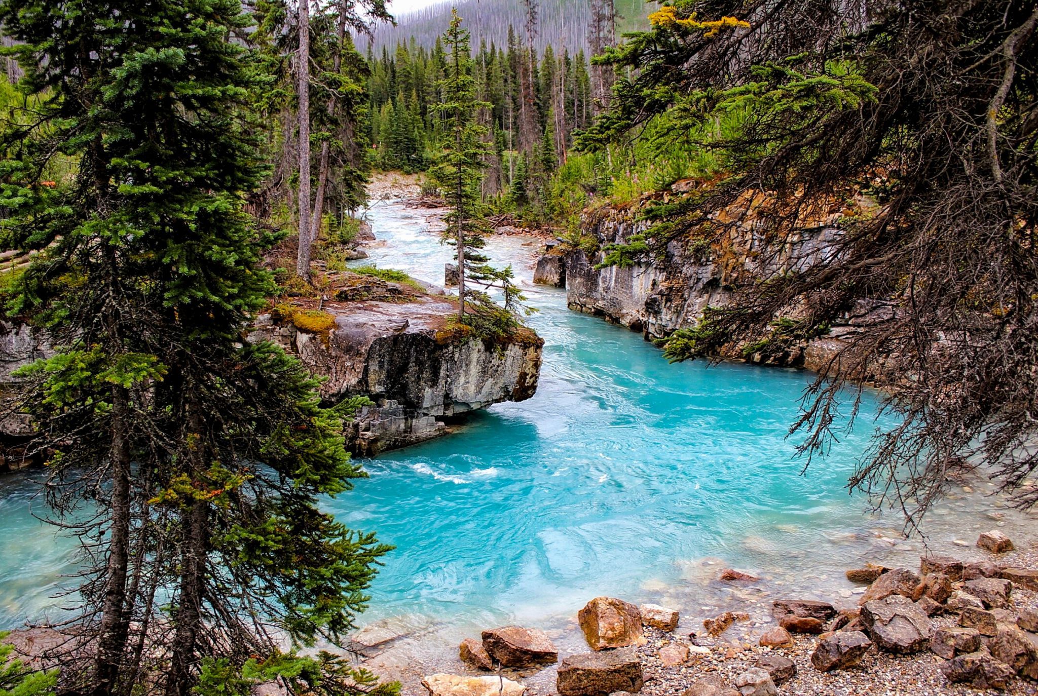
Maligne Canyon is one of the deepest river canyons found in the Canadian Rockies. The majority of the river runs 32km underground from Medicine Lake to the Athabasca River. Depending on the river’s flow rate, sections of the canyon and the river bed can become completely dry. The upper trail and it's 4 bridges offer outstanding views of crystal clear pools that have eroded into the rock along with several waterfalls. Maligne Canyon's deepest point is approximately 55m. In spots the canyons top opening is only 2m across. During the winter months most of the canyon is a frozen wonderland.
Photography Tips
A tripod is useful but you must contend with the fence that parallels the canyon in many paces.
Travel Information
Starting at the bottom sixth bridge parking lot, cross the “Fifth Bridge” over the Maligne River and turn left. This spot is a few meter/yards to left side of the footbridge.
Spot Type
Outdoor
Crowd Factor
A decent amount of people
Best Timing
Sunrise
Sunrise & Sunset
05:28 - 22:13
| current local time: 21:53
Photo Themes
river canyon
Locations
Jasper National Park


Spot comments (0)