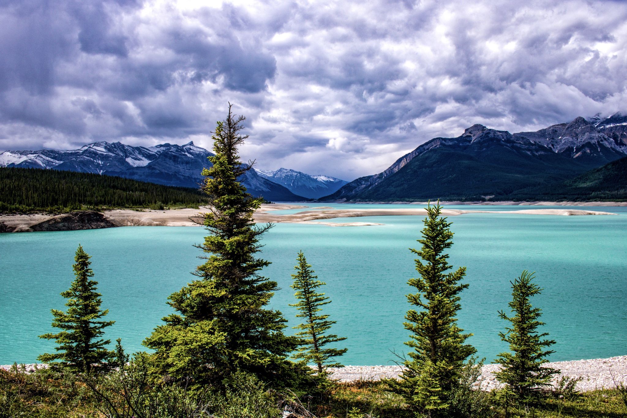

Canada Abraham Lake
An artificial lake on the North Saskatchewan River lining the David Thompson Highway between Saskatchewan River Crossing and Nordegg. It was created in 1972 with the construction of the Bighorn Dam. Although man-made, it still possesses the pastel blue colour of other glacial lakes in the Rocky Mountains. During the coldest months of winter the lake draws photographers for the frozen methane bubbles formed by decomposition of plants at the bottom of the lake.
Travel Information
From the David Thompson Highway (Hwy. 11), turn right (East) on Range Rad 170A which will turn into 171A after about 2 km. Turn right on a gravel road and make your way to the shoreline.
Spot Type
Outdoor
Crowd Factor
Nearly no other people
Best Timing
Sunrise
Sunrise & Sunset
05:26 - 22:00
| current local time: 08:22
Photo Themes
Mountain Lake
Locations
Alberta


Spot comments (0)