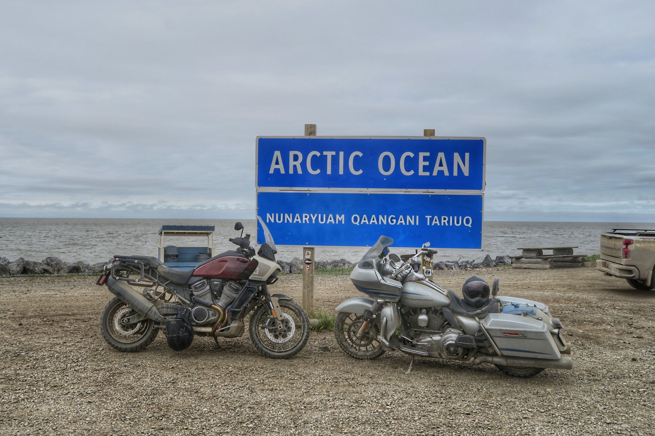

Canada Tuktoyaktuk
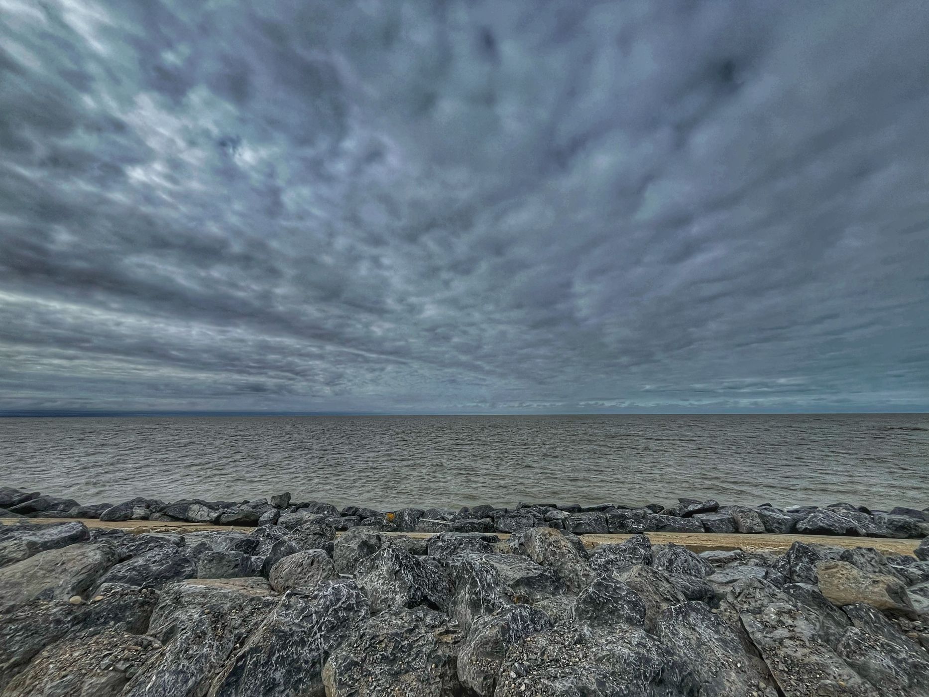
Tuktoyaktuk is the most northern road-accessible community in Canada. It sits on the edge of the Beaufort Sea (Arctic Ocean) at the end of the Dempster Highway. It is as remote as is it is beautiful.
Photography Tips
Explore the area. Being well above the arctic circle, in summer (when most will visit) there is light 24 hours a day, and in winter the sun does not crack the horizon. Plan accordingly.
Travel Information
Flying into Tuktoyaktuk is possible, though expensive. For the more adventurous, driving is the norm.
Getting there by car / truck is an exercise in endurance, with ~900kms (one way of gravel and dirt road (The Dempster Highway), and 2x Ferry Crossings. It is recommended that you bring two full sized spare tires for your vehicle as flats are very common along the route.
Getting there by car / truck is an exercise in endurance, with ~900kms (one way of gravel and dirt road (The Dempster Highway), and 2x Ferry Crossings. It is recommended that you bring two full sized spare tires for your vehicle as flats are very common along the route.
Spot Type
Outdoor
Crowd Factor
Nearly no other people
Best Timing
Summer
Sunrise & Sunset
Sun is always above the horizon today
| current local time: 23:55
Photo Themes
arctic
Arctic Beach
arctic ocean
Spot comments (0)