

Finland Punkaharjun, Finland
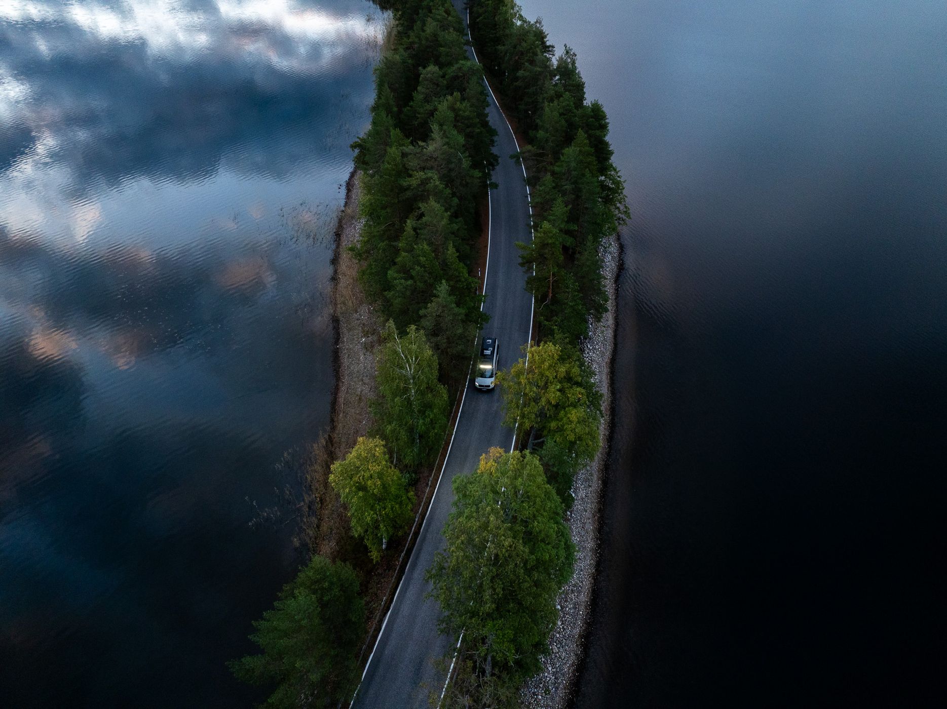
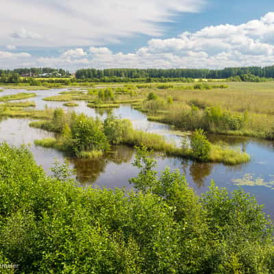
Punkaharju is one of Finland's most iconic scenic roads, located in the beautiful Lakeland region near Savonlinna. The famous Punkaharju Ridge Road follows a narrow, forest-covered ridge formed during the Ice Age, with lakes stretching out on both sides.
What makes this location so special is the incredibly narrow strip of land separating the water, with the winding road running right through the middle.
Surrounded by tall pine trees and peaceful lakes, it is a fantastic location for aerial photography and one of the most beautiful driving routes in southern Finland.
What makes this location so special is the incredibly narrow strip of land separating the water, with the winding road running right through the middle.
Surrounded by tall pine trees and peaceful lakes, it is a fantastic location for aerial photography and one of the most beautiful driving routes in southern Finland.
Photography Tips
A drone is definitely the best way to capture the unique shape of the Punkaharju Ridge. For this shot, I positioned my drone above the road at a slight downward angle, using the winding road as a leading line through the forest and surrounding lakes.
Including a vehicle adds scale and emphasizes just how narrow the ridge actually is. Early morning or late afternoon works particularly well, especially when the water is calm enough to reflect the clouds and surrounding trees.
Experiment with different flying heights and perspectives. A more vertical composition emphasizes the symmetry between the road and lakes, while a lower angle can reveal how the ridge stretches into the distance.
Including a vehicle adds scale and emphasizes just how narrow the ridge actually is. Early morning or late afternoon works particularly well, especially when the water is calm enough to reflect the clouds and surrounding trees.
Experiment with different flying heights and perspectives. A more vertical composition emphasizes the symmetry between the road and lakes, while a lower angle can reveal how the ridge stretches into the distance.
Travel Information
Punkaharju is located in southeastern Finland, approximately 30 kilometers east of Savonlinna. The historic ridge road runs through the Punkaharju Nature Reserve and is easily accessible by car or campervan.
The scenic route follows the narrow ridge between Lake Puruvesi and Lake Pihlajavesi, offering several beautiful viewpoints and opportunities to explore the surrounding forests. Designated parking areas and walking trails make it easy to explore beyond the road.
The best time to visit is late spring through autumn, though September is particularly beautiful when the first autumn colors appear. For drone photography, check the current restrictions within the nature reserve and Finnish airspace regulations before flying, and avoid flying directly above moving traffic.
The scenic route follows the narrow ridge between Lake Puruvesi and Lake Pihlajavesi, offering several beautiful viewpoints and opportunities to explore the surrounding forests. Designated parking areas and walking trails make it easy to explore beyond the road.
The best time to visit is late spring through autumn, though September is particularly beautiful when the first autumn colors appear. For drone photography, check the current restrictions within the nature reserve and Finnish airspace regulations before flying, and avoid flying directly above moving traffic.
Spot Type
Drone
Crowd Factor
Just a few people
Best Timing
Sunrise in fall
Sunrise & Sunset
07:43 - 17:53
| current local time: 13:47
Photo Themes
Forest
Lake
lakeland
Road
Locations
punkaharju





Spot comments (0)