
France Phare de la Croix
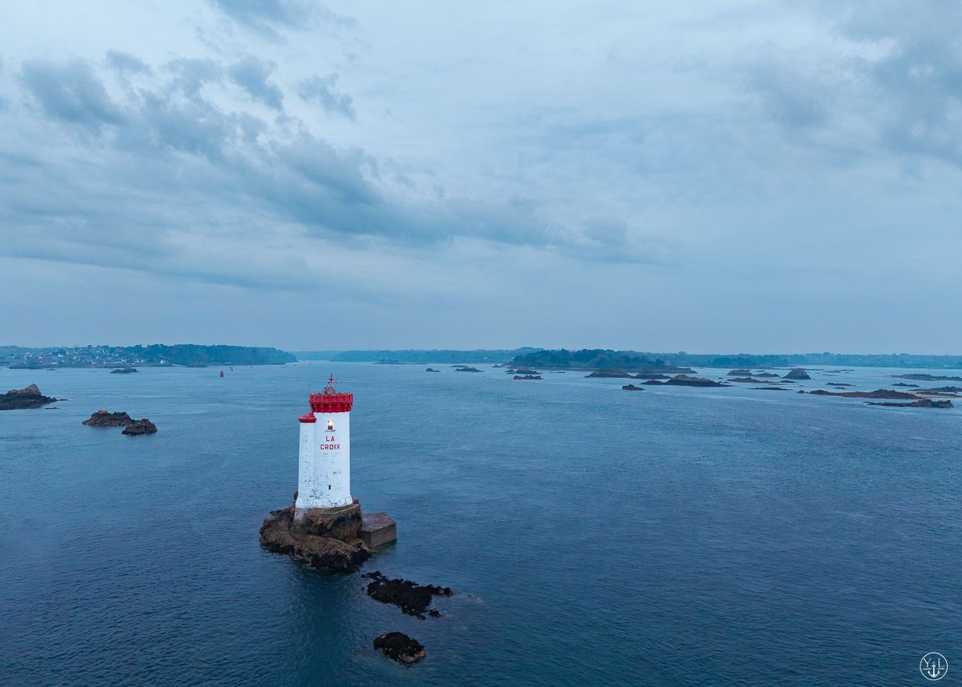
Picture of Lighthouse La Croix at the end of Trieux river.
Shot by drone, taking off from Ile à Bois.
Shot by drone, taking off from Ile à Bois.
Photography Tips
The distance between lighthouse and take off is around 1.3km.
Yo can refer to geoportail website to get the drone flight restriction.
Yo can refer to geoportail website to get the drone flight restriction.
Travel Information
Parking mark put on the map. Then you can count 20min walk to get to the northern tip of the island.
Please note: We have been informed that the 20-minute walk to the northern tip applies only to the coastal path. The island itself is privately owned and may not be entered.
Please note: We have been informed that the 20-minute walk to the northern tip applies only to the coastal path. The island itself is privately owned and may not be entered.
Spot Type
Drone
Crowd Factor
Nearly no other people
Best Timing
All timings are equally good
Sunrise & Sunset
06:29 - 22:07
| current local time: 17:54
Photo Themes
Drone
phare
Seascape
Locations
Brittany (Bretagne)
côtes d'Armor
Kermouster
ile à bois


Spot comments (0)