

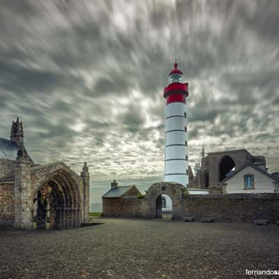
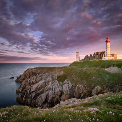
France GR34 at Plouzané
The GR34, also known as the "Sentier des Douaniers" or Customs Officers’ Path, is one of France’s most iconic long-distance hiking trails.
With a total length over 2,000 kilometers, it traces the entire coastline of Brittany from Mont-Saint-Michel in Normandy to Saint-Nazaire in Loire-Atlantique.
With a total length over 2,000 kilometers, it traces the entire coastline of Brittany from Mont-Saint-Michel in Normandy to Saint-Nazaire in Loire-Atlantique.
Photography Tips
Waterproof clothing is essential—Brittany weather can change rapidly.
Travel Information
The GR34 stretches from Mont-Saint-Michel to Saint-Nazaire, so your entry point depends on which section you want to hike.
By Train: Major towns along the trail like Saint-Malo, Brest, Quimper, and Vannes are accessible via SNCF trains from Paris and other French cities.
By Plane: Nearest airports include:
Rennes (for northern sections)
Brest (for western sections)
Nantes (for southern sections)
By Car: Renting a car offers flexibility, especially for reaching remote trailheads or connecting between sections.
Transfers: Services like Discovercars and private taxis are available for airport-to-trail transfers
By Train: Major towns along the trail like Saint-Malo, Brest, Quimper, and Vannes are accessible via SNCF trains from Paris and other French cities.
By Plane: Nearest airports include:
Rennes (for northern sections)
Brest (for western sections)
Nantes (for southern sections)
By Car: Renting a car offers flexibility, especially for reaching remote trailheads or connecting between sections.
Transfers: Services like Discovercars and private taxis are available for airport-to-trail transfers
Spot Type
Outdoor
Crowd Factor
Just a few people
Best Timing
Sunrise in fall
Sunrise & Sunset
08:41 - 19:26
| current local time: 15:48
Photo Themes
after sunset
Cliff Coast
Coast
Coastal View
Landscape
Natural Landscape
Sunset
sunset colors
Sunset landscape
Sunset spot
Locations
Brittany (Bretagne)
Frankrijk
Plouzané







Spot comments (0)