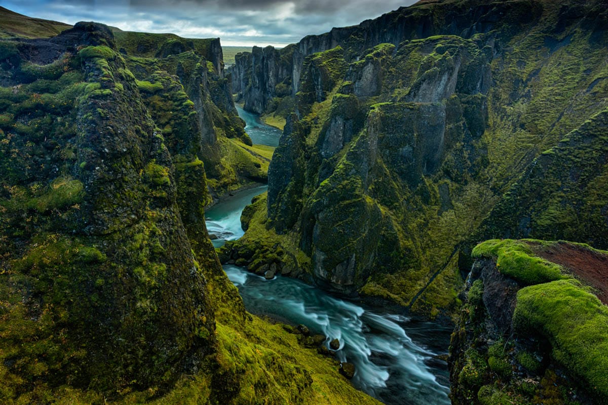
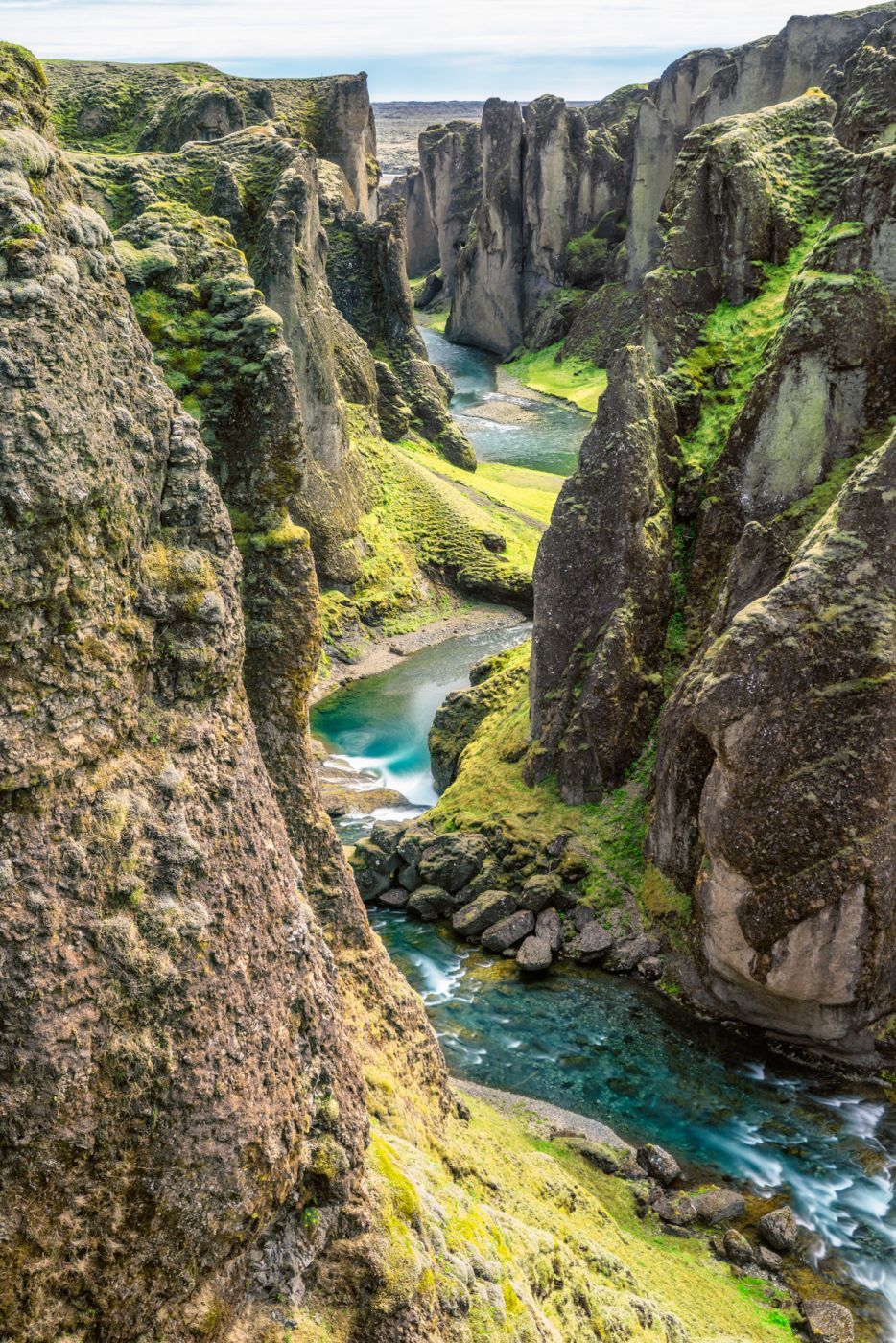



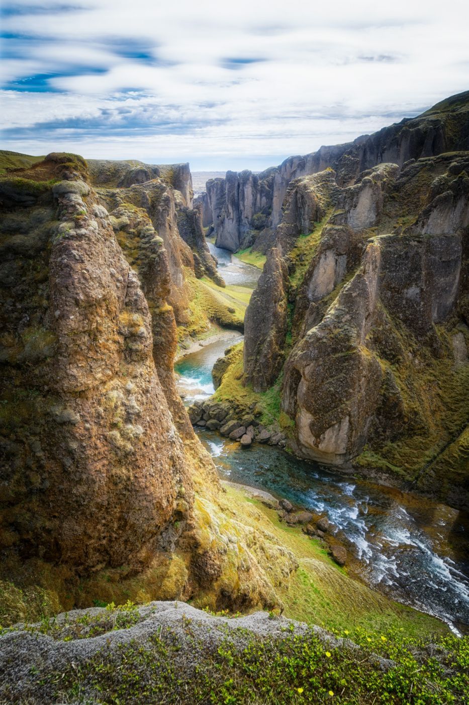
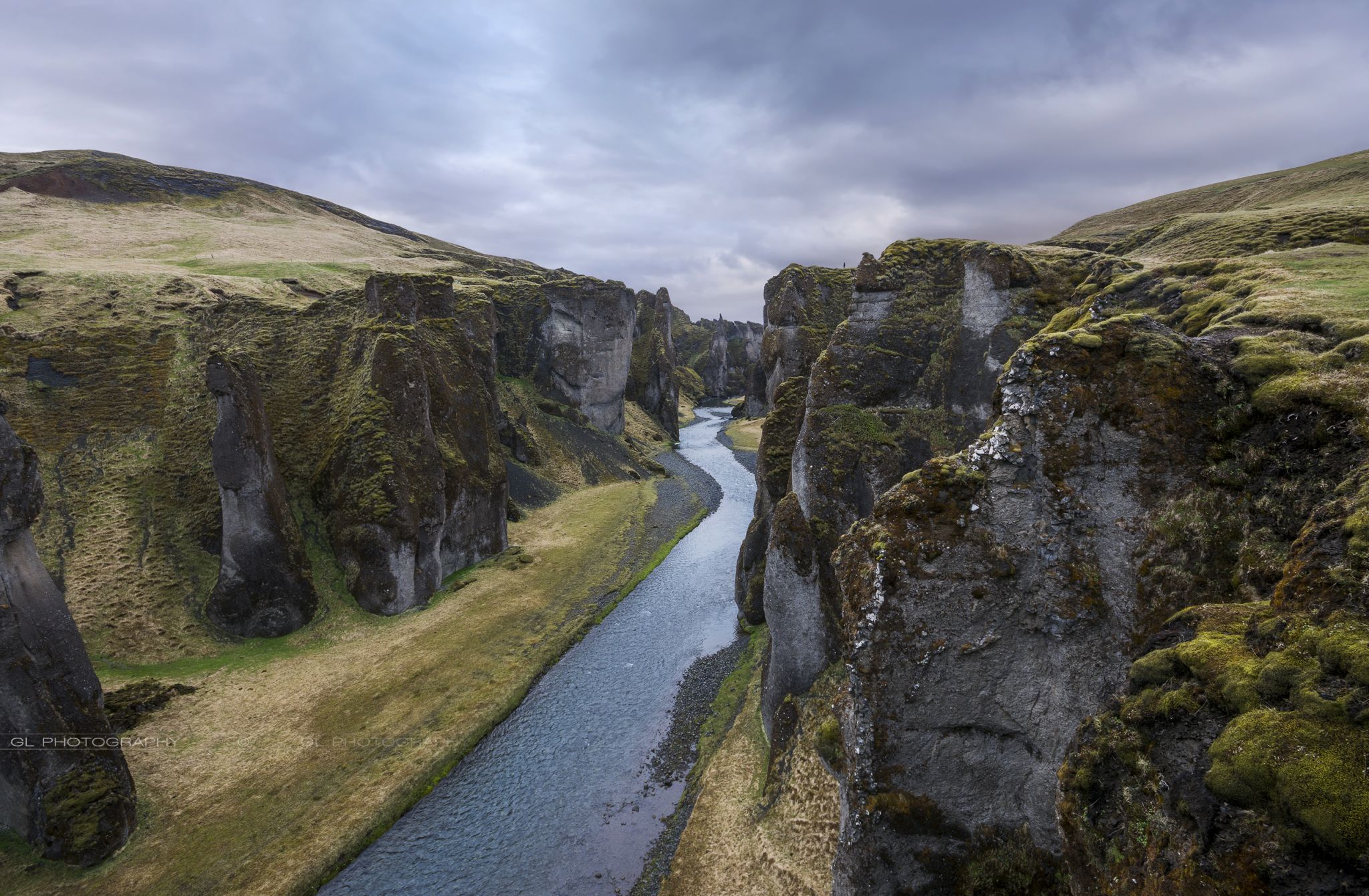

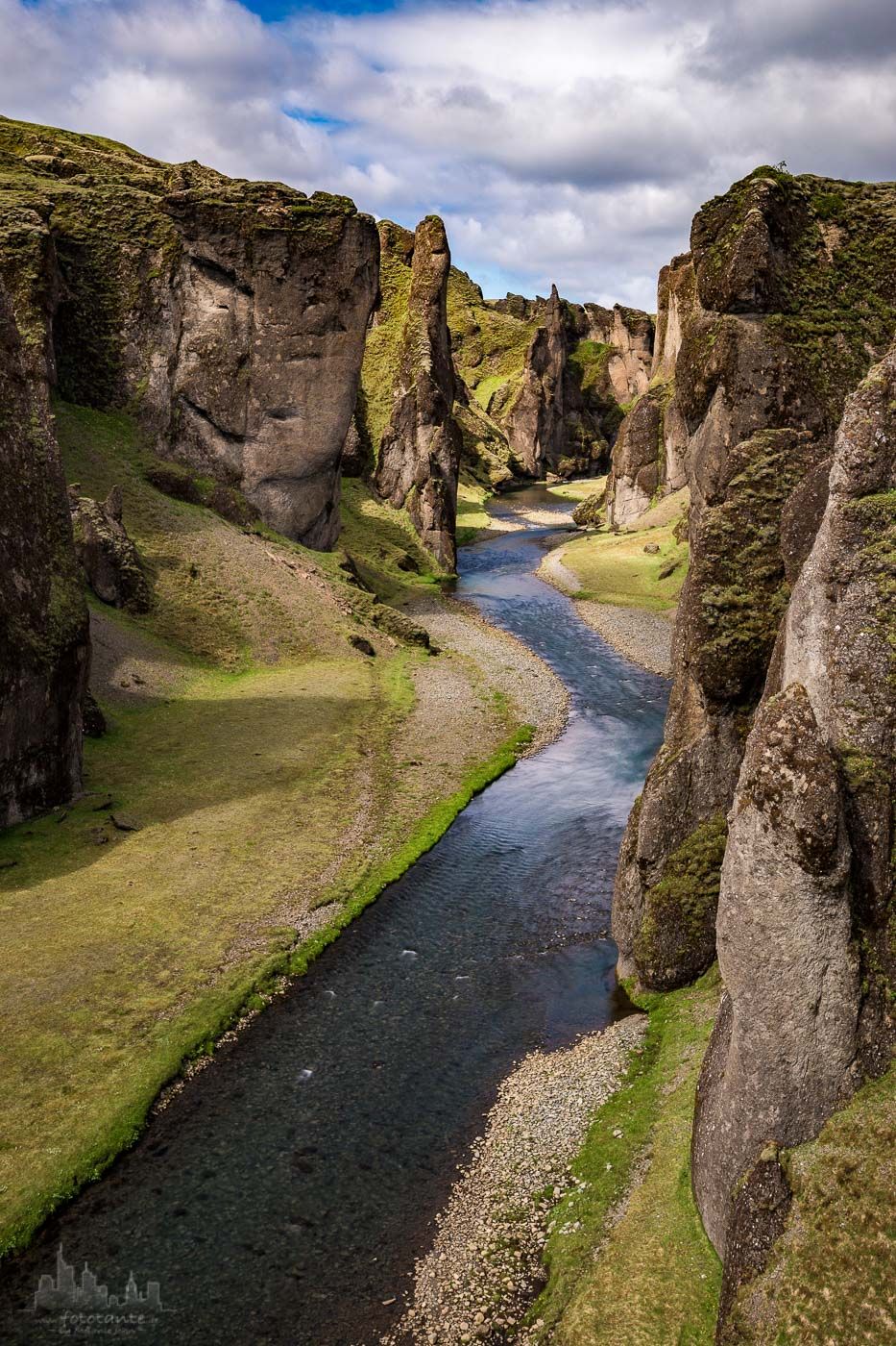

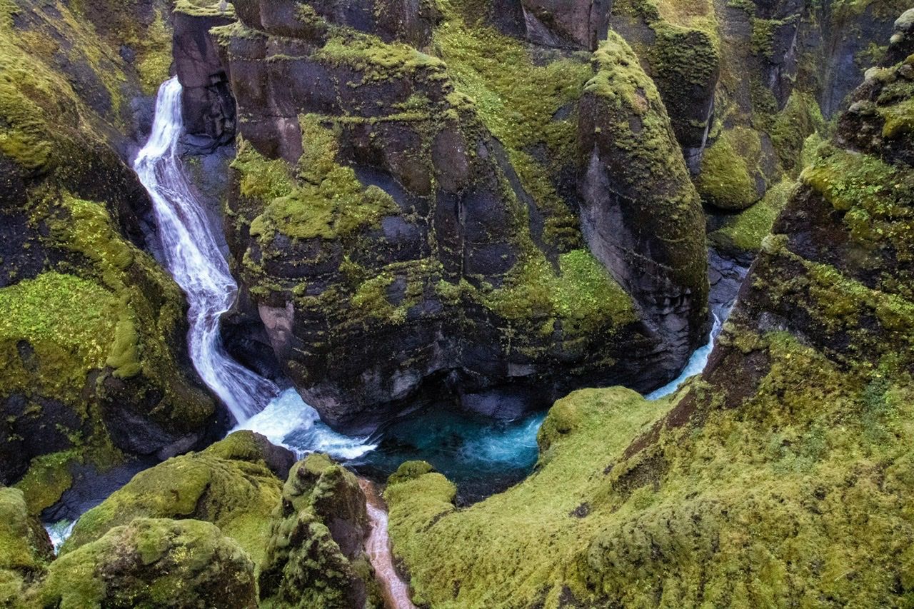



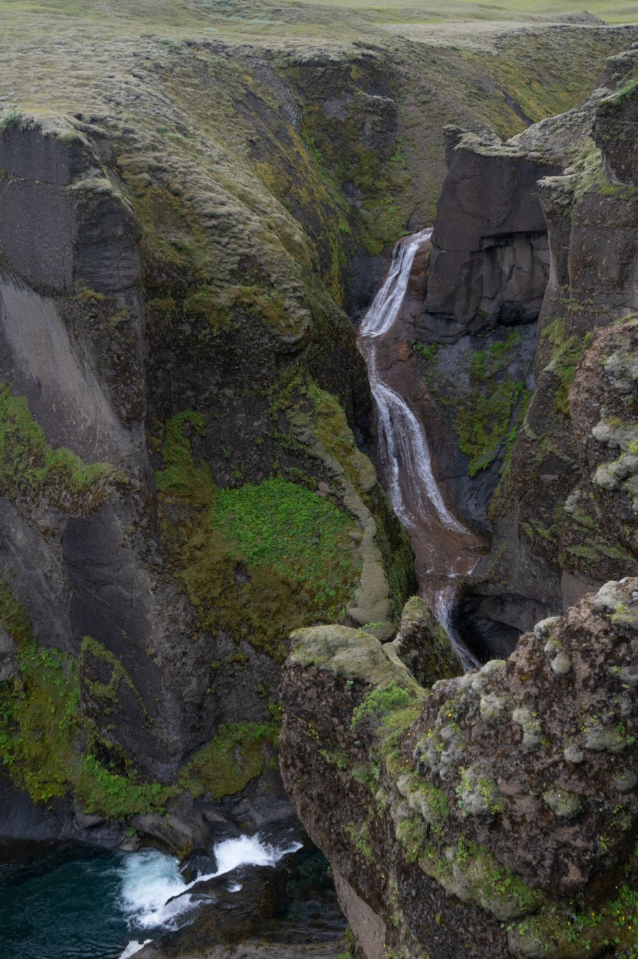
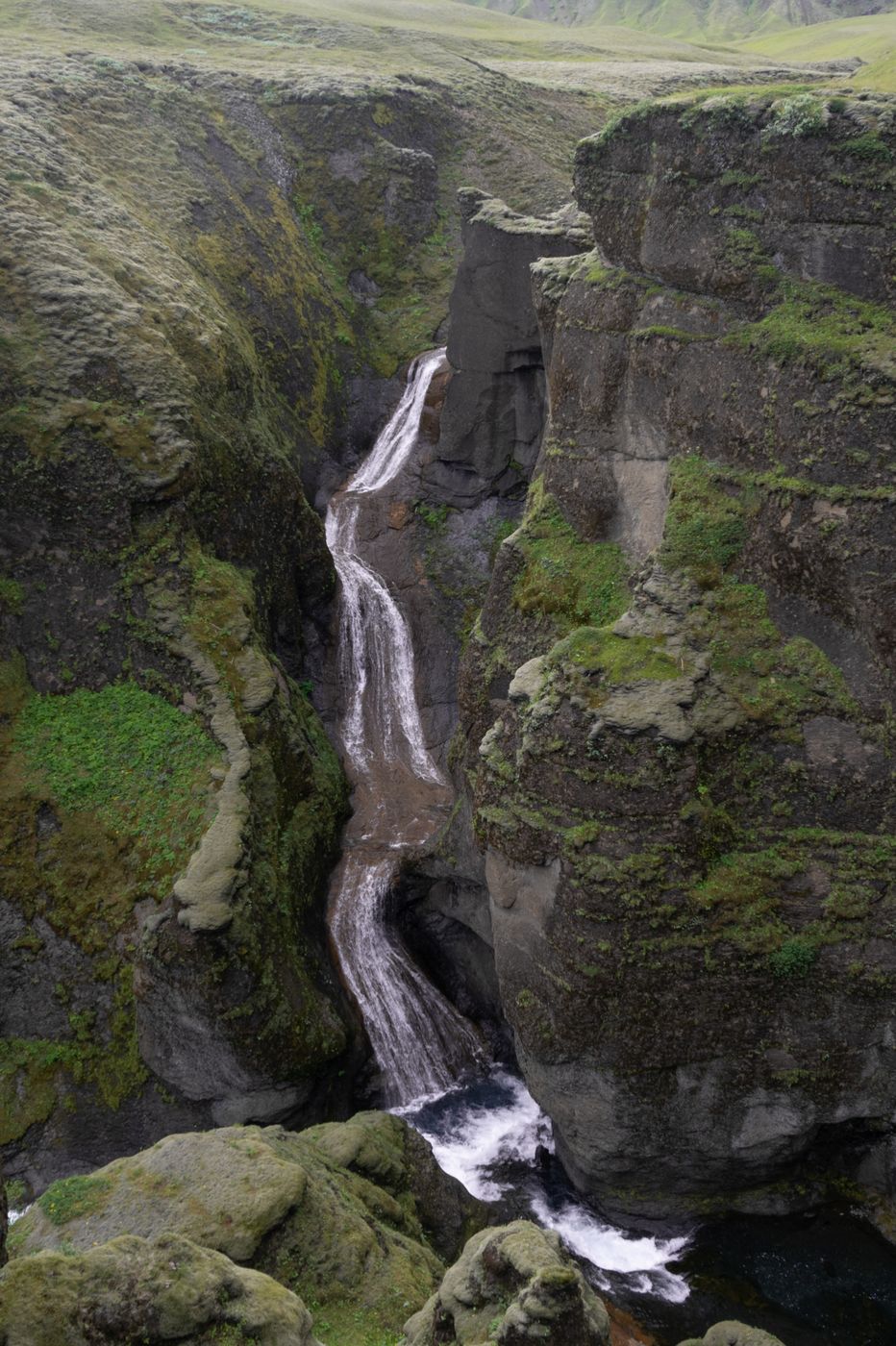
Sigoldugljufur Canyon, Iceland
Timm Kasper
Timm Kasper www.tikafo.de
Sigoldugljufur Canyon, Iceland
Markus Jenni
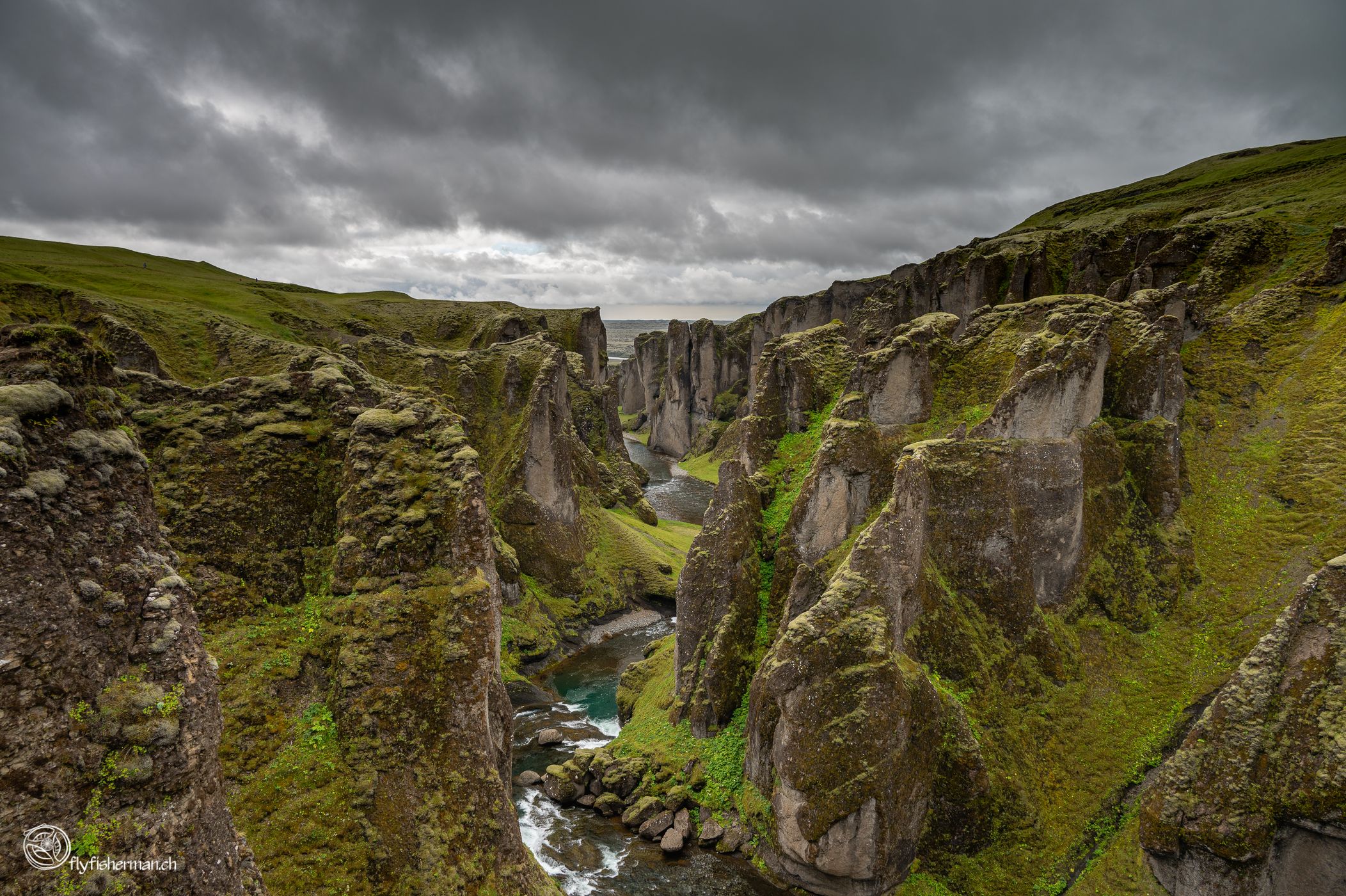
Markus Jenni flyfisherman.ch
licensable
Sigoldugljufur Canyon, Iceland
licensable
6
Sigoldugljufur Canyon, Iceland
Gregory Lebreton
Gregory Lebreton www.instagram.com/worl…
Sigoldugljufur Canyon, Iceland
fototante.de
fototante.de www.fototante.de
Sigoldugljufur Canyon, Iceland
licensable
Sigoldugljufur Canyon, Iceland
Tomas Frolec
Tomas Frolec www.tomasfrolec.com
licensable
Sigoldugljufur Canyon, Iceland
licensable
Sigoldugljufur Canyon, Iceland
licensable
Sigoldugljufur Canyon, Iceland
Greg Tackett
Greg Tackett thelonegraffitist.tumb…
licensable
Sigoldugljufur Canyon, Iceland
Greg Tackett
Greg Tackett thelonegraffitist.tumb…
licensable
Sigoldugljufur Canyon, Iceland
Greg Tackett
Greg Tackett thelonegraffitist.tumb…
licensable
Sigoldugljufur Canyon, Iceland
Greg Tackett
Greg Tackett thelonegraffitist.tumb…
licensable
Sigoldugljufur Canyon, Iceland
Greg Tackett
Greg Tackett thelonegraffitist.tumb…
licensable
Sigoldugljufur Canyon, Iceland
Greg Tackett
Greg Tackett thelonegraffitist.tumb…
licensable
Sigoldugljufur Canyon, Iceland
Greg Tackett
Greg Tackett thelonegraffitist.tumb…
licensable
This photo is copyrighted by the author.
Thank you for respecting the rights and efforts of our photographers. Please contact the author for further information.

Iceland Sigoldugljufur Canyon

  • Please log in or sign up for free to see the GPS coordinates & weather for this photo spot
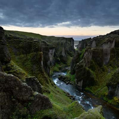
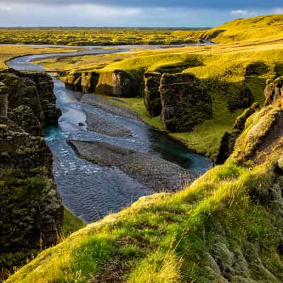
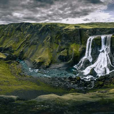
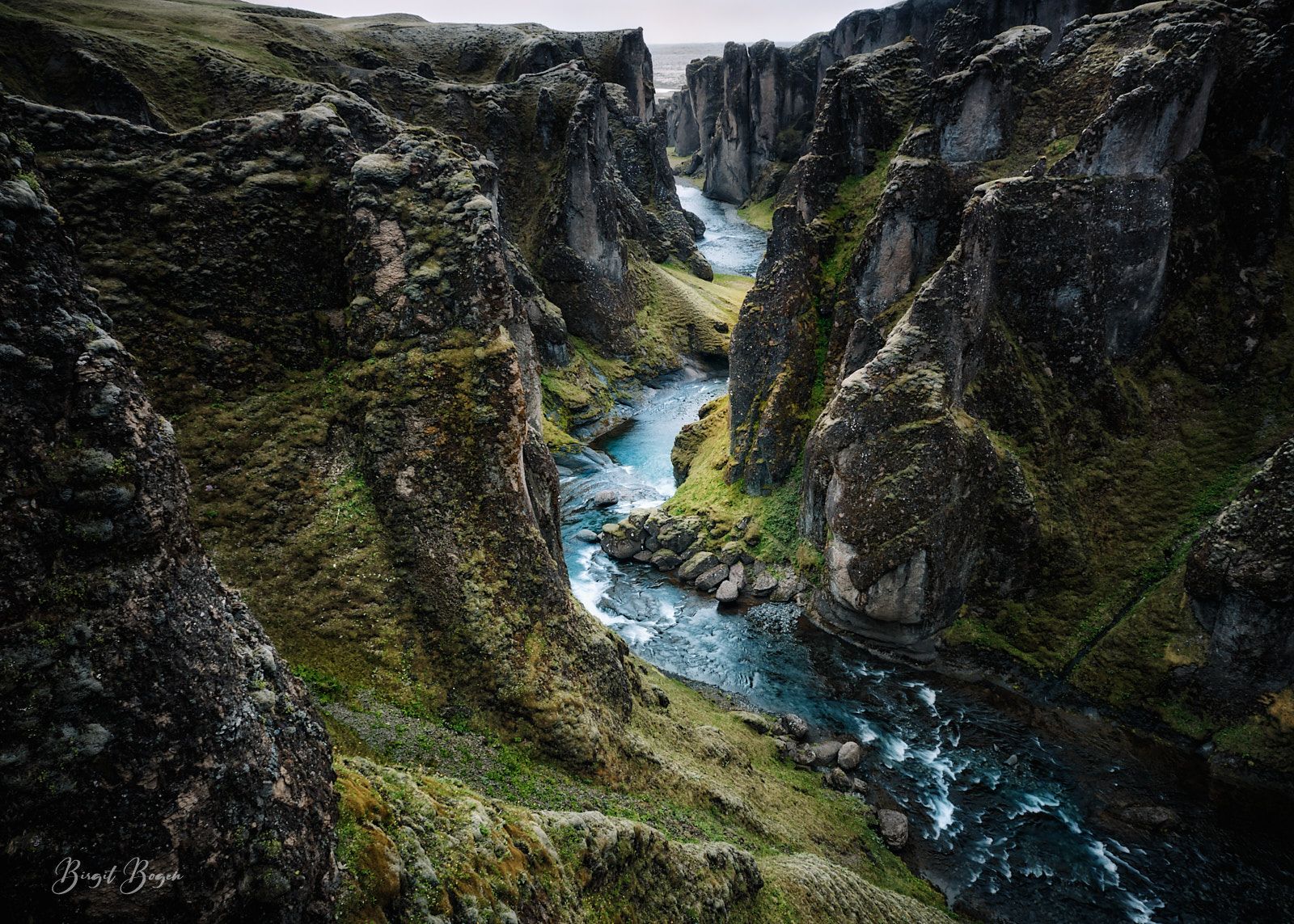
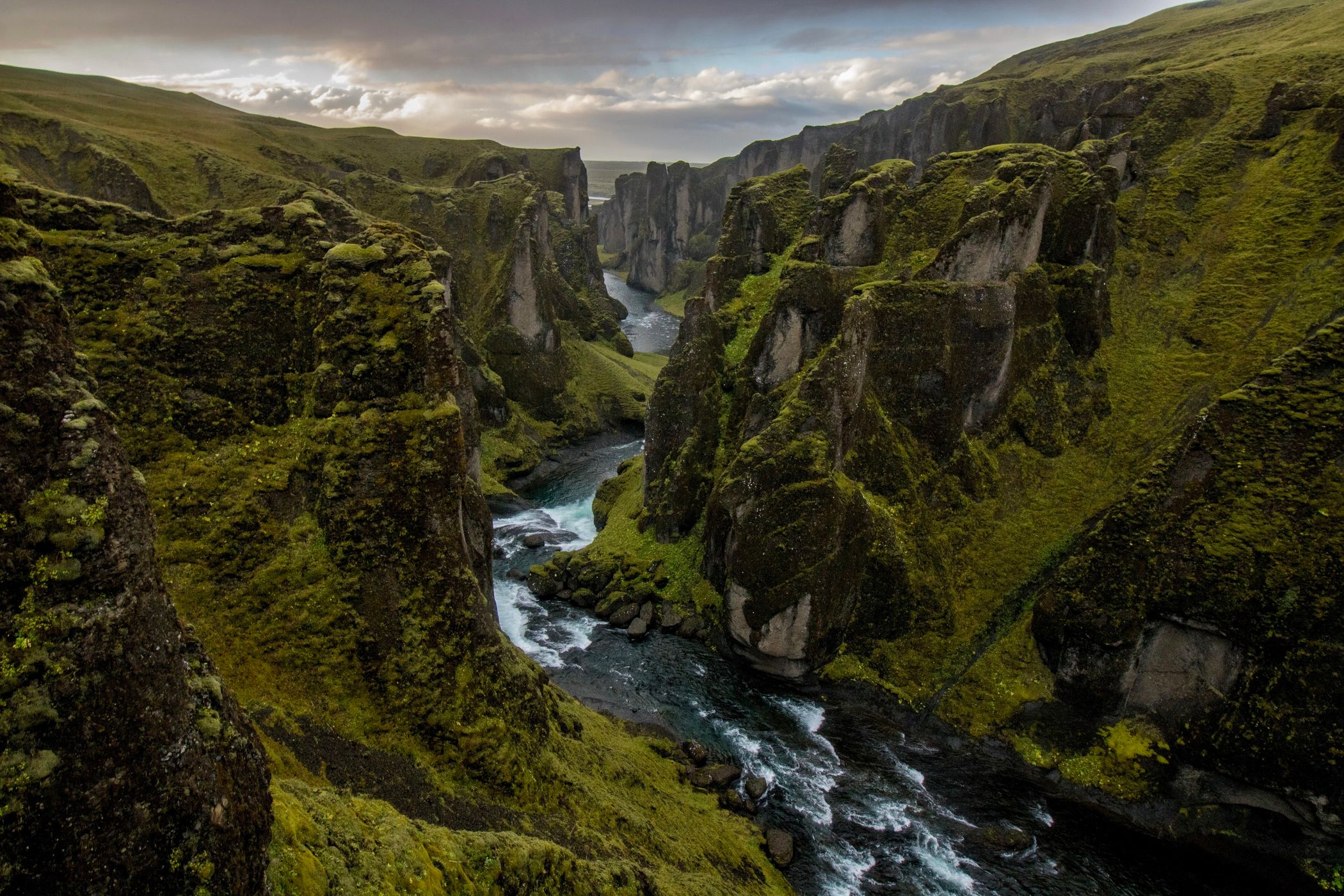
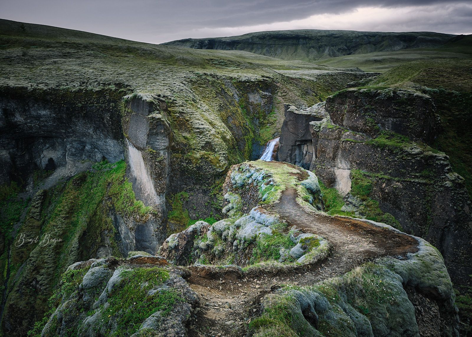
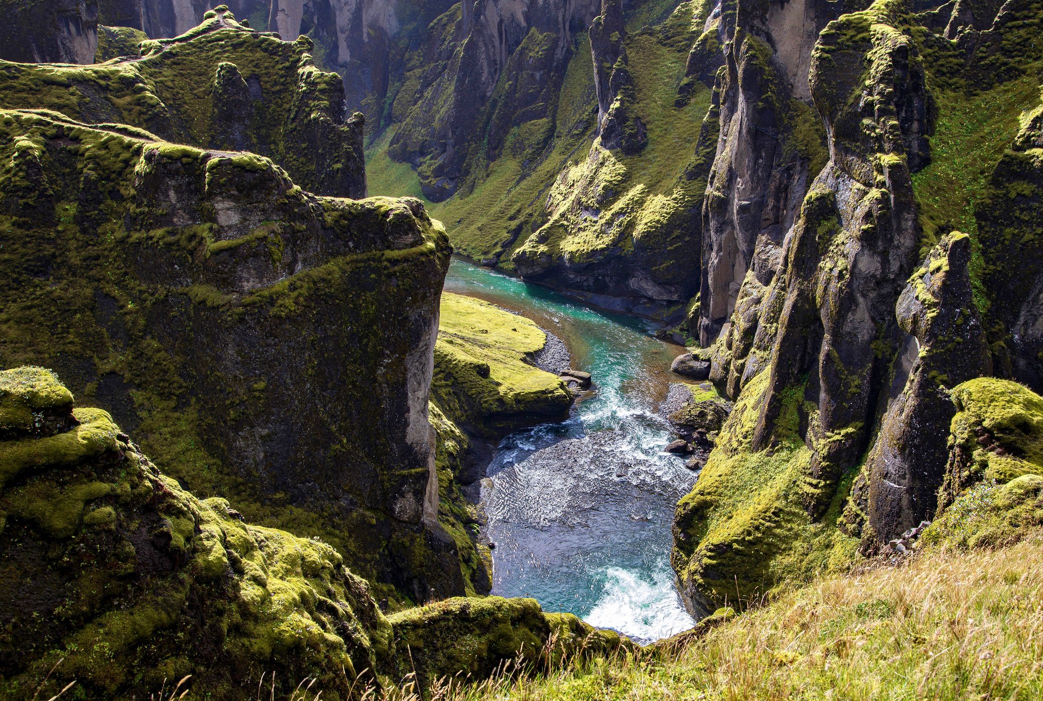
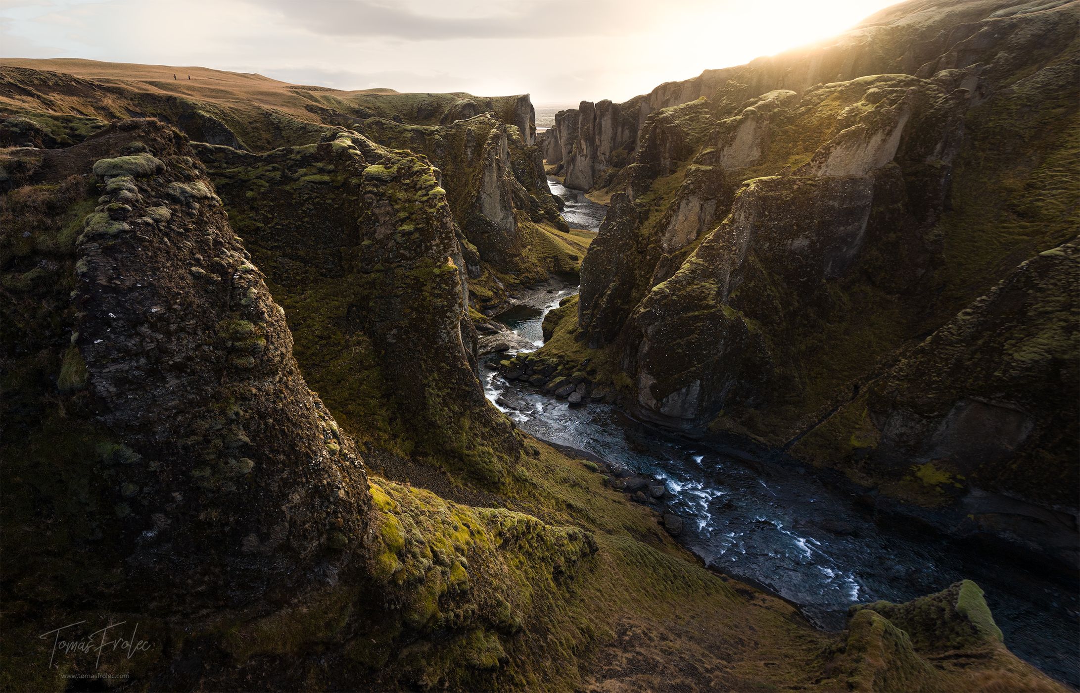
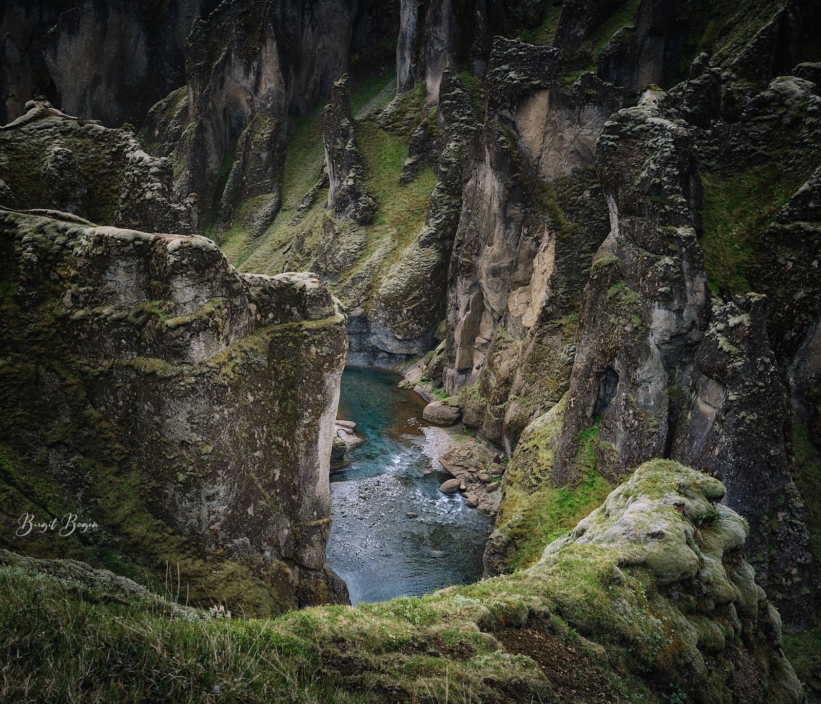
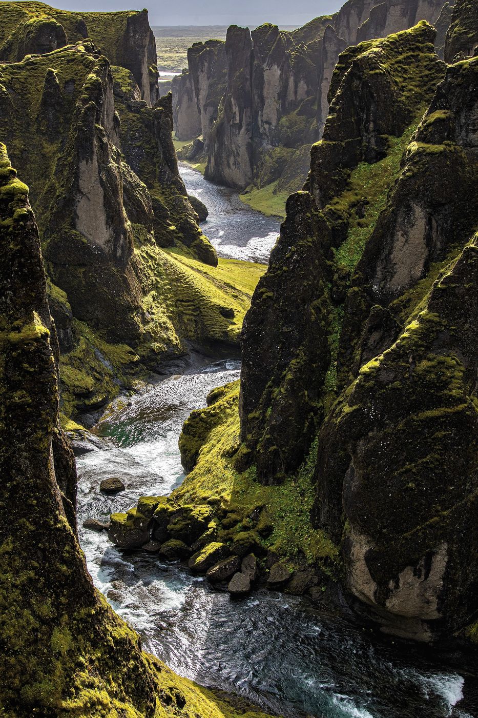
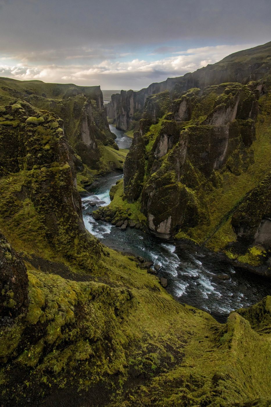
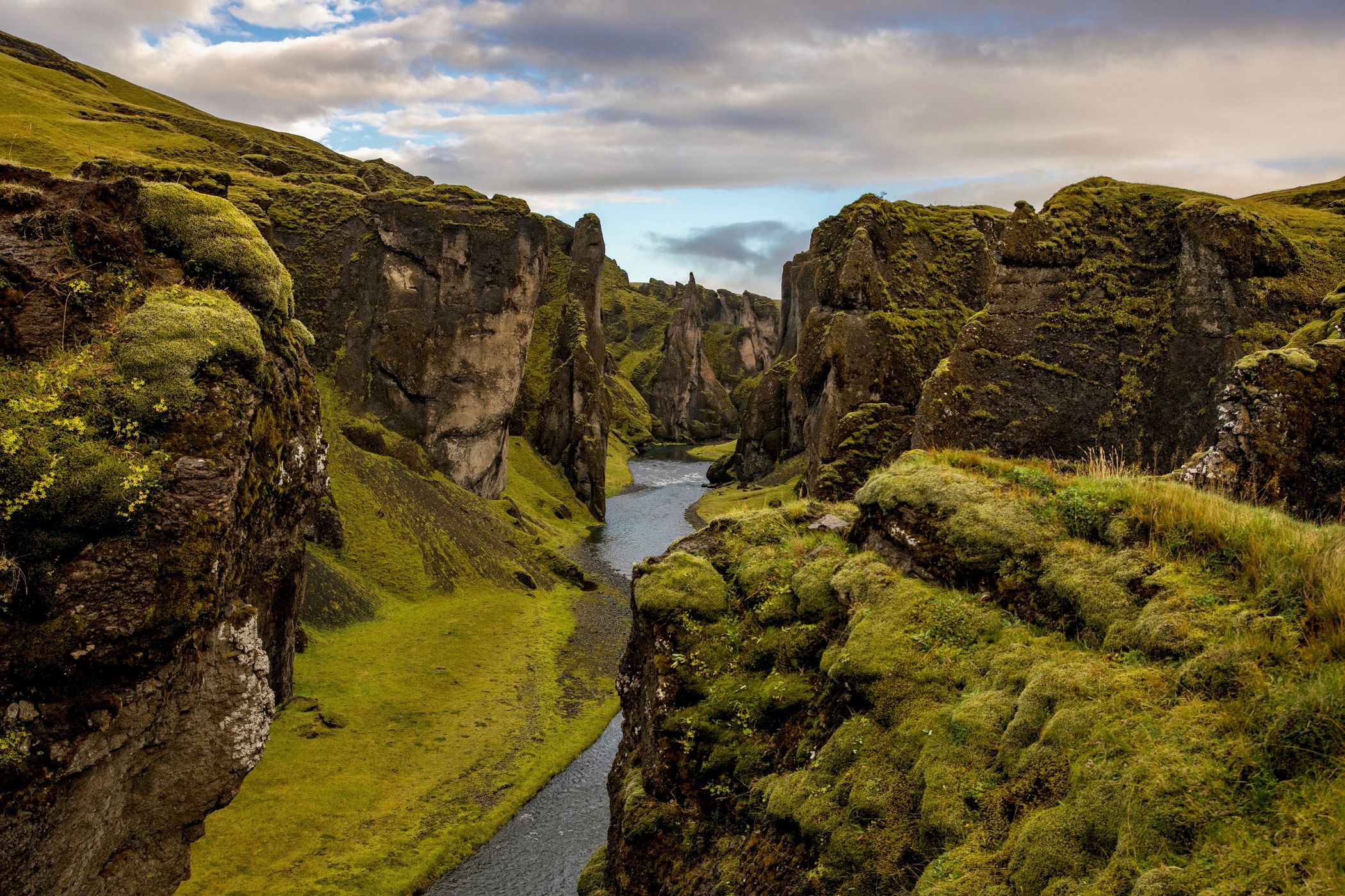
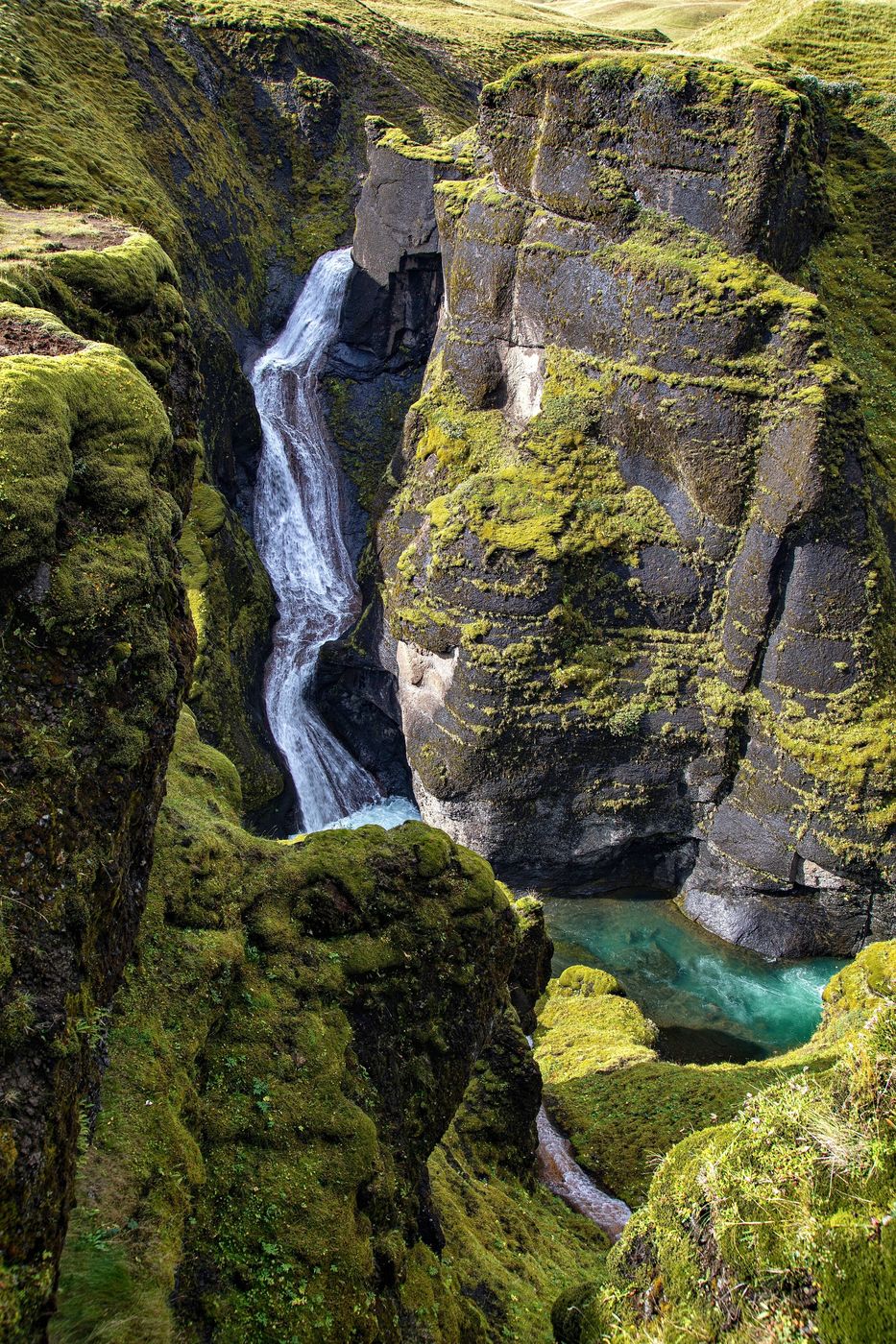
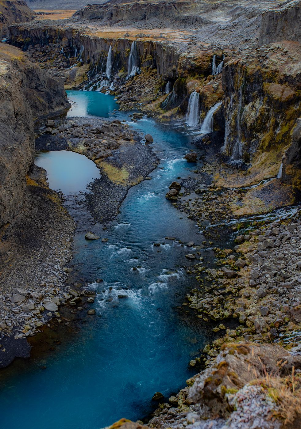
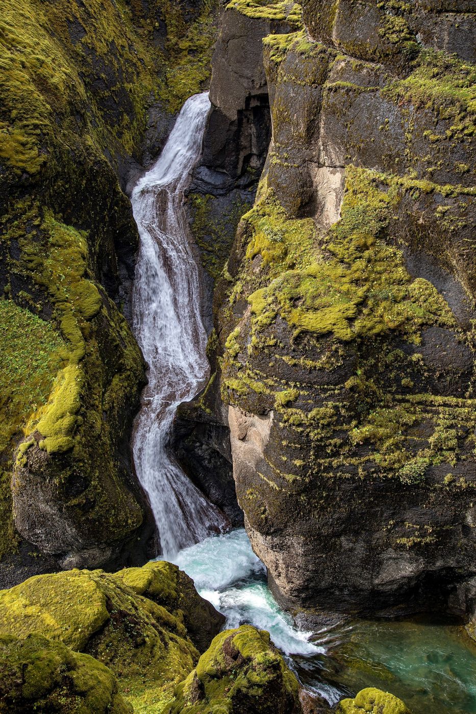
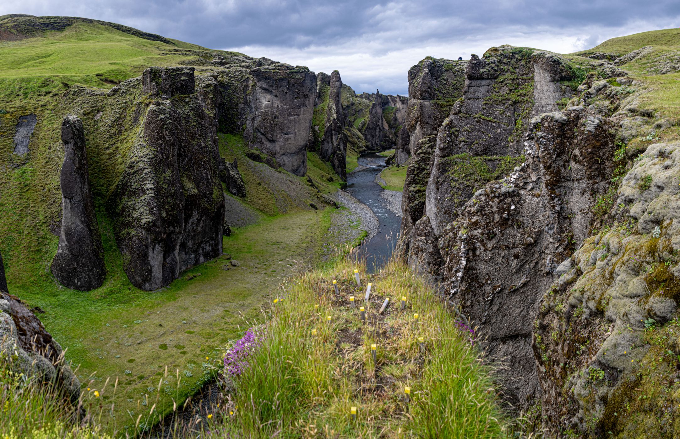
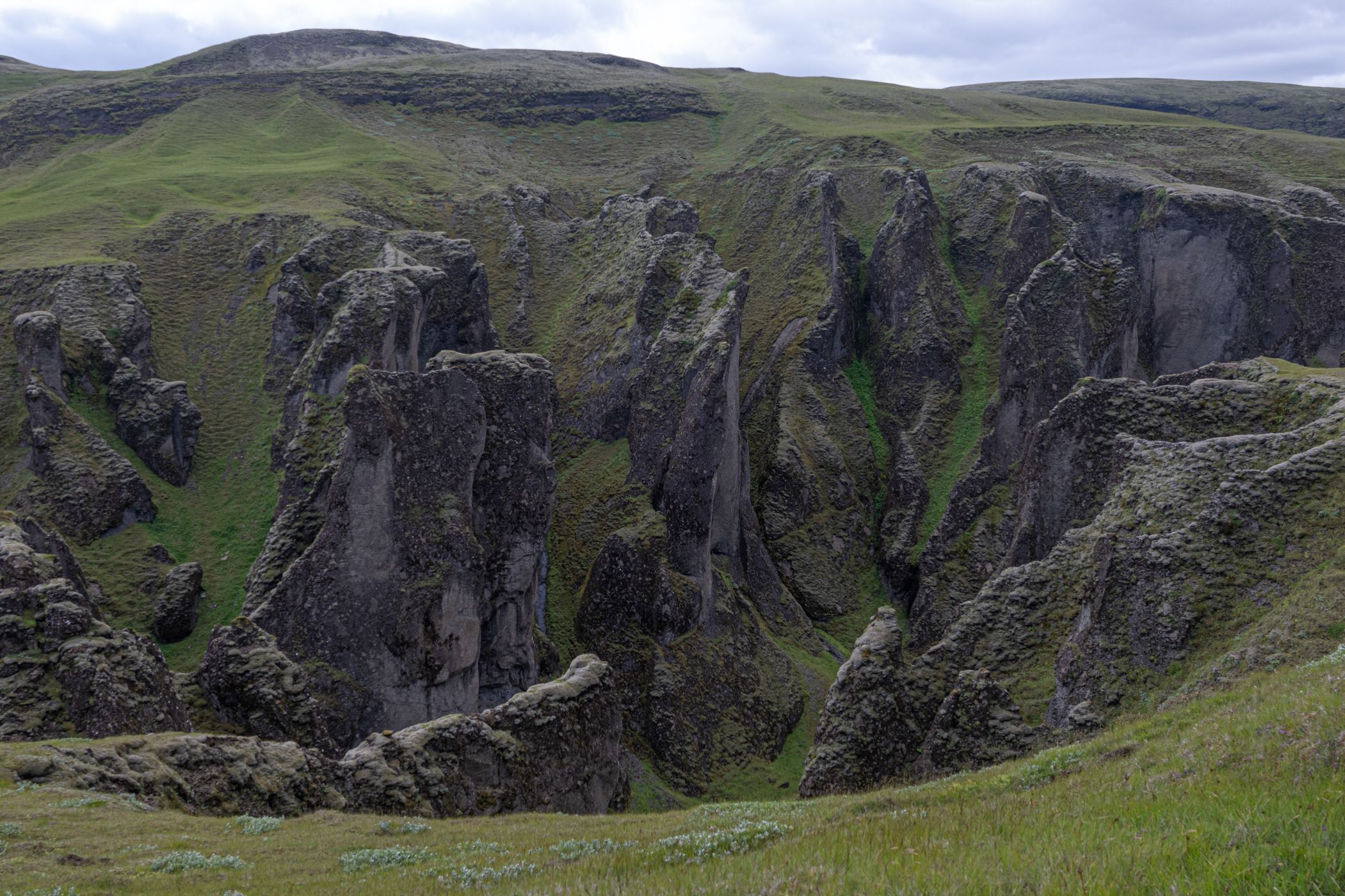
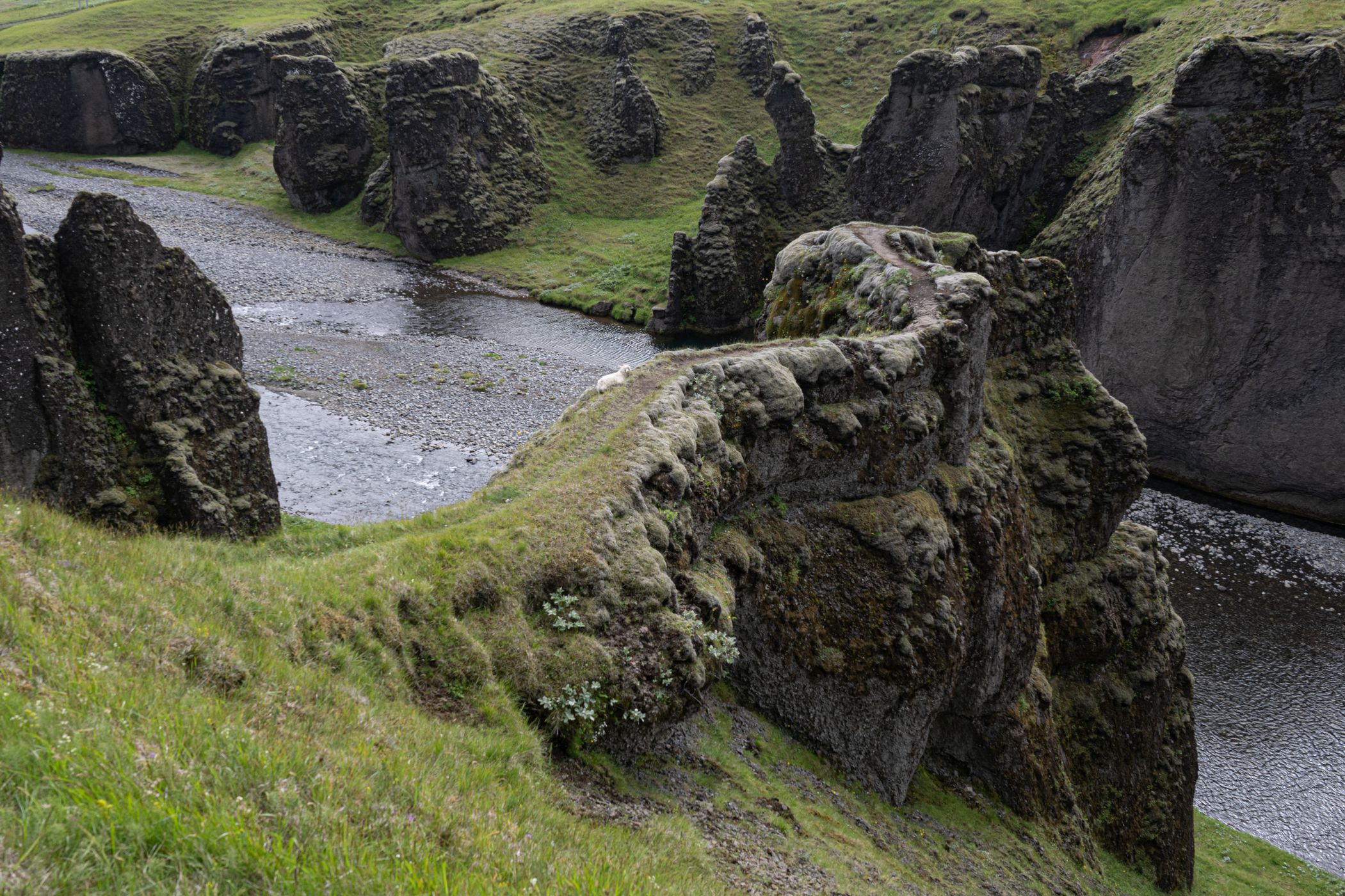
The “Valley of Tears Canyon” is known as such due to the many waterfalls that flow down its sheer cliffs. These falls are also known as Lekafossar, or Tungnaárfossar. This natural wonder did not exist until a few years ago. Sigöldugljúfur was underwater, submerged by the Tungnaá River until the construction of the Sigalda hydroelectric plant and its dam a few kilometers north. The power plant's construction was the subject of heated debate in Iceland, and construction finally began in 1978. The dam lowered the water level, emptying the canyon, allowing its many waterfalls to appear, giving us the superb panorama that exists today.
(From the “Iceland Dream” website)

Photography Tips

The spot is interesting in the morning (not too early to get light into it) and at sunset (in particular like here after a big storm. Bring a wide-angle lens to capture as much as possible. You must walk close to the edge to capture waterfalls and the rivers. Be careful!

Travel Information

On the Ring Road 1, take a turn north on Landvegur (Road Nr. 26). After about 63 kilometers, take a left turn on Sprengisandsleið (F26). Then, after 22 kilometers, turn right on the Nyrðri Fjallabaksleið (F208) and stop a few kilometers farther between the bridges, You can't miss the waterfall on this route. This is 47km/45 minutes north of the parking area at Þjófafoss.
Spot Type Outdoor
Crowd Factor A decent amount of people
Best Timing Sunset
Sunrise & Sunset 03:21 - 23:14 | current local time: 16:32
Photo Themes Canyon Fjaðrárgljúfur River

Get the exact geo-position for this spot

Log in to see the GPS coordinates, sun directions, and the map for this photo spot. Or simply bookmark it along with other spots to plan your next trip.

Spot comments (0)

Please log in or sign up for free to leave a comment or ask a question.

Ratings (5) star star star star star

star star star star star
5
star star star star star
0
star star star star star
0
star star star star star
0
star star star star star
0

Popular photo spots in this region

Thank you Timm Kasper for creating this photo spot in Iceland and Marc Sharp, Markus Jenni, Birgit Bogen, Gary Leverett, Gregory Lebreton, fototante.de, Tomas Frolec, Darin Pemberton, Greg Tackett, Manuel Becker, Mia Pflieger for improving it with additional photos or content.
Imprint & Contact © Locationscout 2026 Privacy / Terms