129 photos in 78 spots
- Show
- all photos
- only best photo/spot
- Order by
- Popularity
- Newest

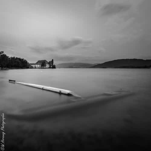
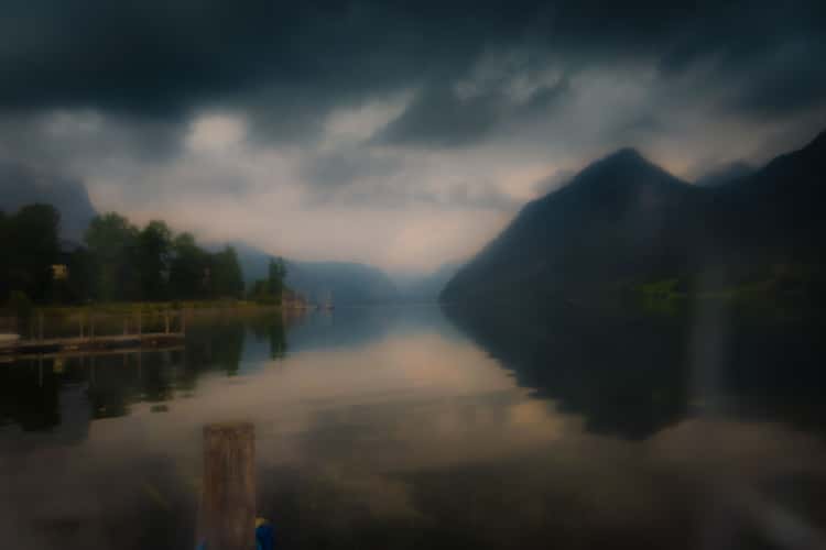
Wolfgangsee, Salzburger Land
0 km to location
Steinernes Meer from Maishofen
61.05 km to location
Preber
74.52 km to location
Wasserfallboden view from Gaisstein
78.69 km to location
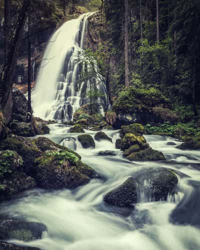
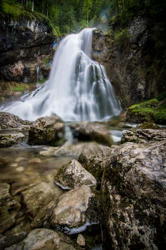
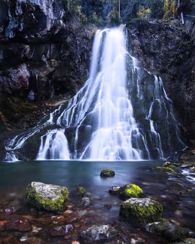
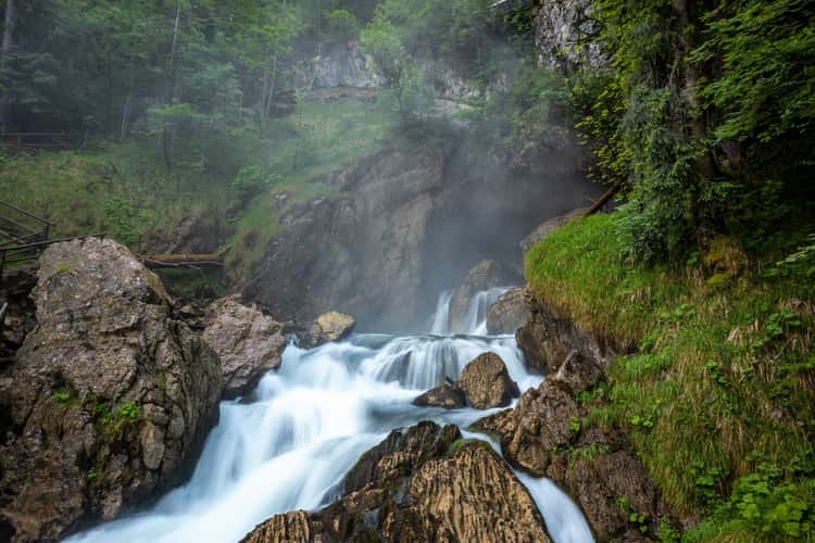
Gollinger Waterfall (Tennengau / Austria)
25.21 km to location
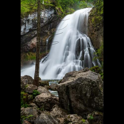
Gollinger Waterfall (Tennengau / Austria)
25.21 km to location
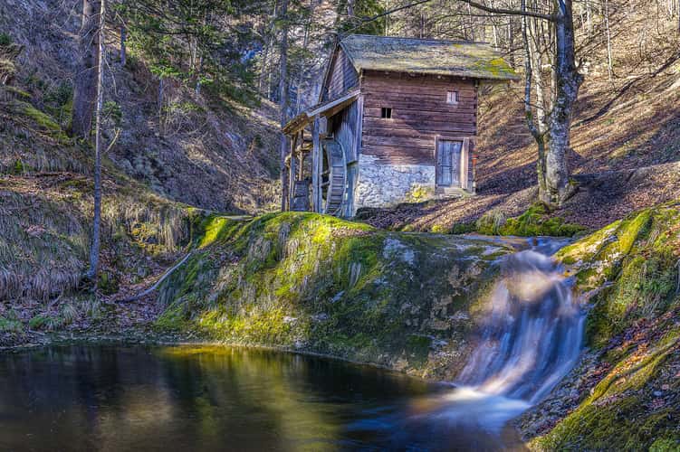
Mühle am Pöltzer Wasserfall
14.38 km to location
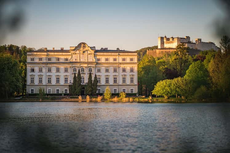
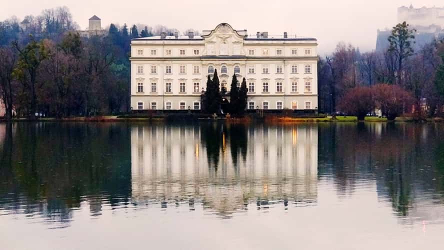
Festung Hohensalzburg
24.85 km to location
Metzgersteig
13.23 km to location
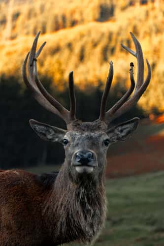
Jufenalm Wildgehege
52.04 km to location
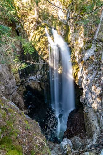
Gollinger Waterfall (Tennengau / Austria)
25.21 km to location
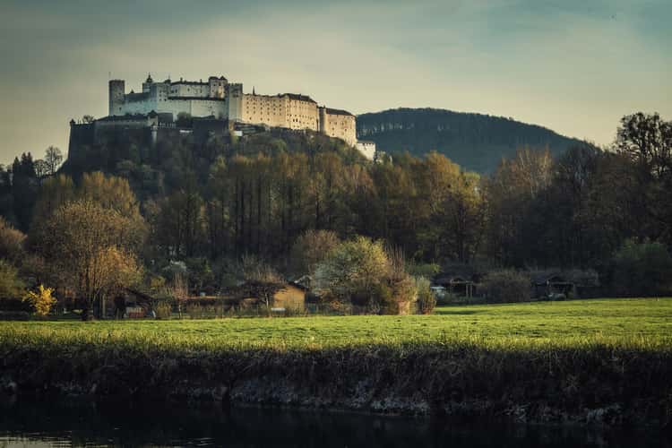
Festung Hohensalzburg
24.85 km to location
Plettsaukopf, Zell am See-Kaprun
67.27 km to location
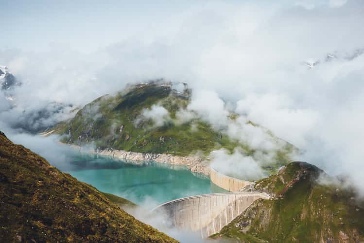
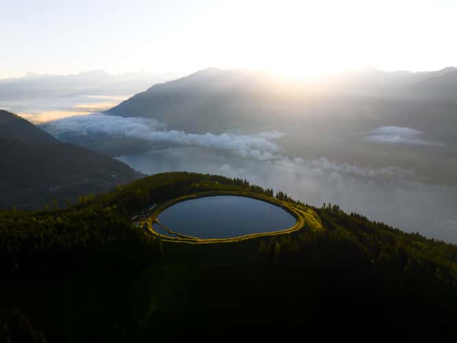
Reservoir, Zell am See
82.14 km to location
Festung Hohensalzburg
24.85 km to location
Festung Hohensalzburg
24.85 km to location
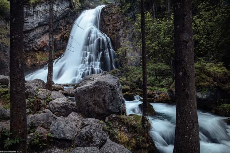
Gollinger Waterfall (Tennengau / Austria)
25.21 km to location
Attersee
20.44 km to location
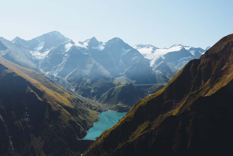
Fuscher Lake
83.25 km to location
Hochkeil trail, Hochkönig
43.8 km to location

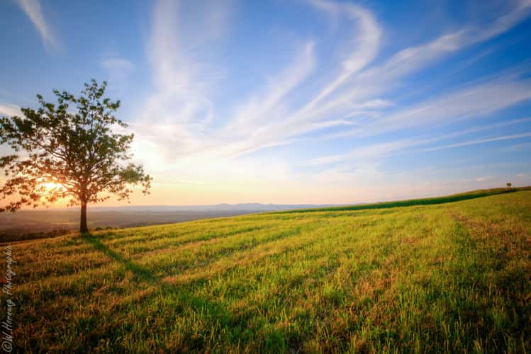
The lonely trees
51.39 km to location

Gollinger Waterfall (Tennengau / Austria)
25.21 km to location
Gollinger Waterfall (Tennengau / Austria)
25.21 km to location
Gollinger Waterfall (Tennengau / Austria)
25.21 km to location
Gollinger Waterfall (Tennengau / Austria)
25.21 km to location
Festung Hohensalzburg
24.85 km to location
Mattsee, Salzburger Land
28.45 km to location
Golling Wasserfall Upper View
25.1 km to location
Grundlsee
42.6 km to location
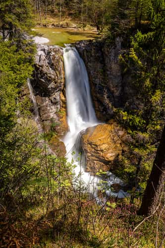
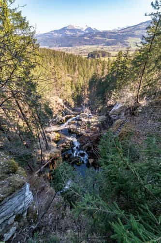
Aubachfall
19.4 km to location