1563 photos in 1077 spots
Filters
Photos per spot
Order by
1563 photos in 1077 spots
![Ferry Station, Parramatta, New South Wales]()
![Waiting for the wave, South Curl Curl, Sydney, NSW]()
![Art Precinct, Mudgee, New South Wales]()
![Sunrise Mona Vale headland, Northern Beaches NSW]()
![War Memorial Gladstone New South Wales]()
![Fishing Trawlers, Ulladulla, South Coast, NSW]()
![The Metropolitan Hotel, Orange, New South Wales]()
![Tree relection Bombah Point, New South Wales]()
![After the rain, skate Park, Kempsey, North Coast, NSW]()
![SLSC Mona Vale, Northern Beaches, Sydney, NSW]()
![Poppet Head reflection, Lucknow, New South Wales]()
![Old car Mullock Heap, Lightning Ridge, New South Wales]()
![War memorial Hall, Moree, New South Wales]()
![Walking toward the sunrise Mona Vale, Sydney, NSW]()
![Q-Station Stairs]()
![Flower on the hill, Warriewood, Sydney, NSW]()
![State Mine Heritage Park, Lithgow, New South Wales]()
![Coopers Cottage, Lightning Ridge, New South Wales]()
![The top Warden Head Lighthouse, Ulladulla, NSW]()
![old railway bridge, Moree, New South Wales]()
![Moon Set on the path at Mona Vale Headland, NSW]()
![Speed boat narrabeen Lagoon, Narrabeen, Sydney]()
![sunrise over the coastal pool]()
![The Pool sunrise, Mona Vale, Northern Beaches, Sydney]()
![Sand Bar Lake Conjola, South Coast, NSW]()
![Parramatta Bats]()
![Through the trees, ANZAC Bridge, Glebe, Sydney, NSW]()
![River under Farmers Creek Railway Viaduct, Lithgow, NSW]()
![Zanci Shearing shed ruin.]()
![Zanci Shearing shed ruin.]()
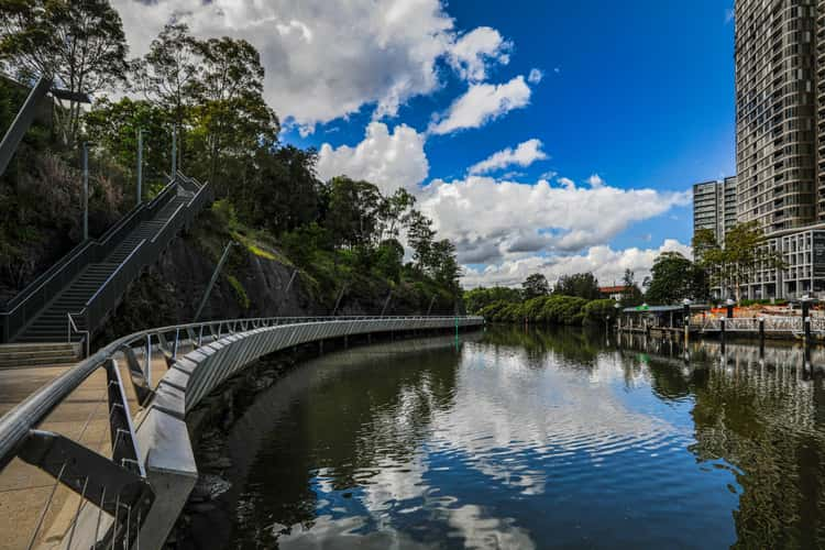
Ferry Station, Parramatta, New South Wales
369.36 km to location
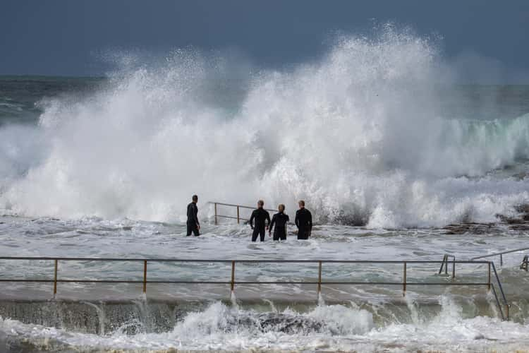
Waiting for the wave, South Curl Curl, Sydney, NSW
395.77 km to location
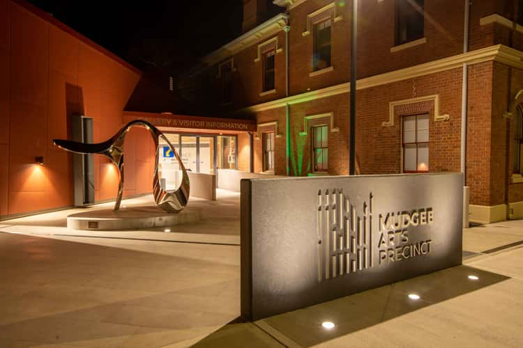
Art Precinct, Mudgee, New South Wales
298.61 km to location
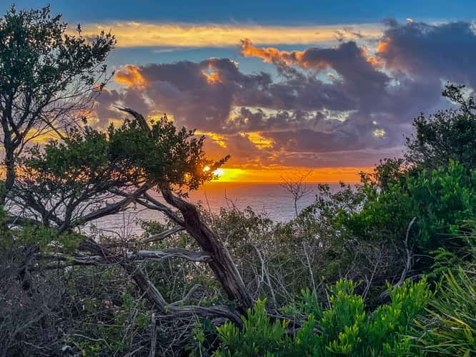
Sunrise Mona Vale headland, Northern Beaches NSW
399.98 km to location
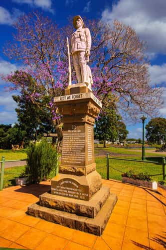
War Memorial Gladstone New South Wales
657.87 km to location
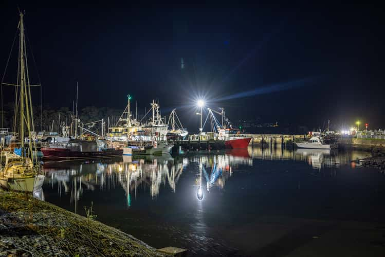
Fishing Trawlers, Ulladulla, South Coast, NSW
338.33 km to location
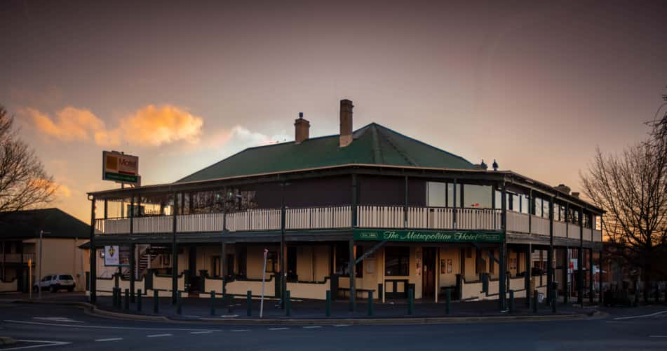
The Metropolitan Hotel, Orange, New South Wales
218.12 km to location
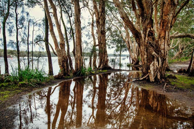
Tree relection Bombah Point, New South Wales
525.51 km to location
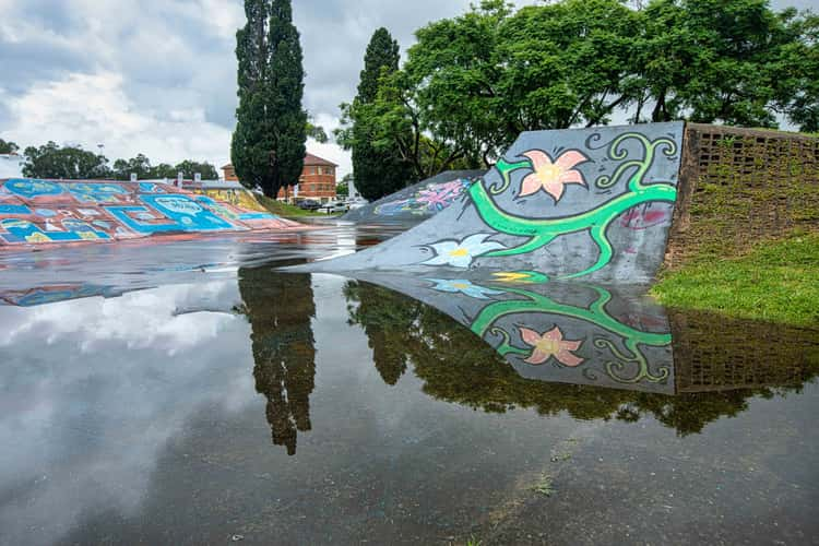
After the rain, skate Park, Kempsey, North Coast, NSW
645.81 km to location
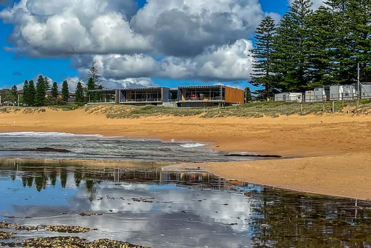
SLSC Mona Vale, Northern Beaches, Sydney, NSW
399.63 km to location
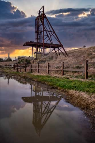
Poppet Head reflection, Lucknow, New South Wales
219.91 km to location
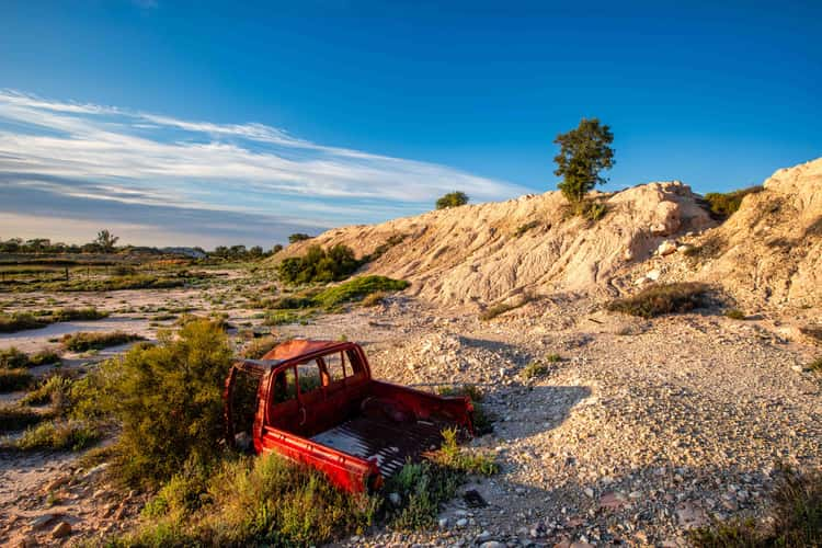
Old car Mullock Heap, Lightning Ridge, New South Wales
542.91 km to location
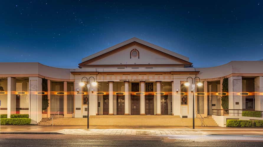
War memorial Hall, Moree, New South Wales
592.23 km to location
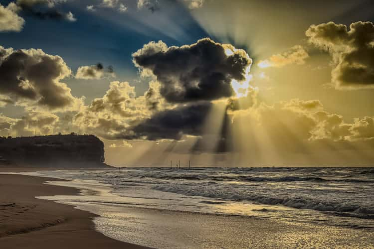
Walking toward the sunrise Mona Vale, Sydney, NSW
399.66 km to location
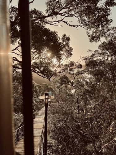
Q-Station Stairs
394.61 km to location
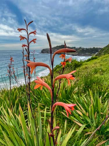
Flower on the hill, Warriewood, Sydney, NSW
398.85 km to location
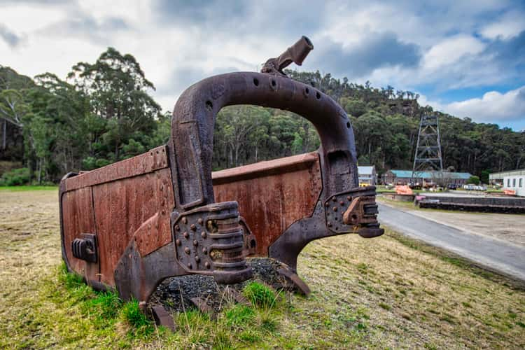
State Mine Heritage Park, Lithgow, New South Wales
301.9 km to location
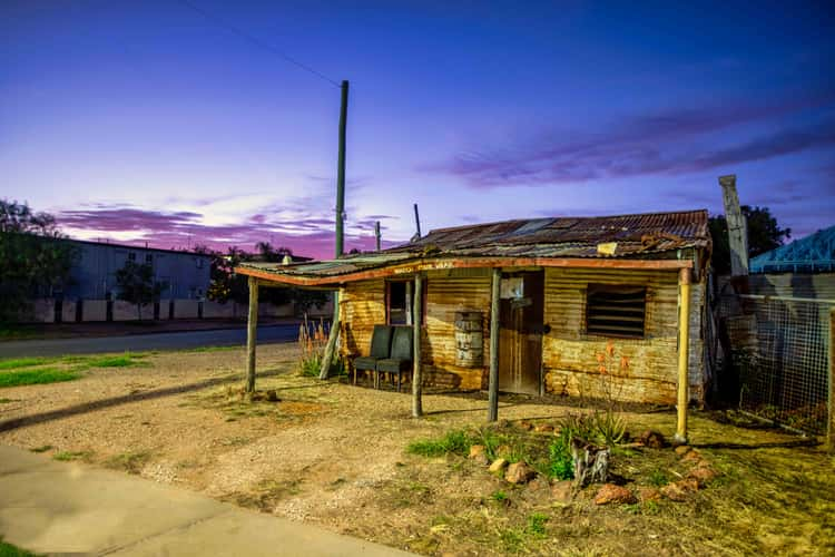
Coopers Cottage, Lightning Ridge, New South Wales
540.72 km to location
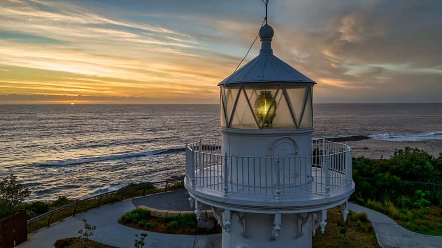
The top Warden Head Lighthouse, Ulladulla, NSW
340.04 km to location
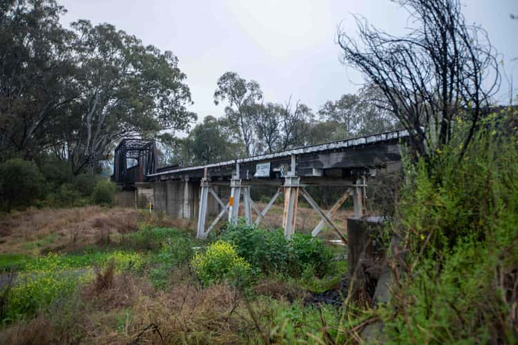
old railway bridge, Moree, New South Wales
592.13 km to location
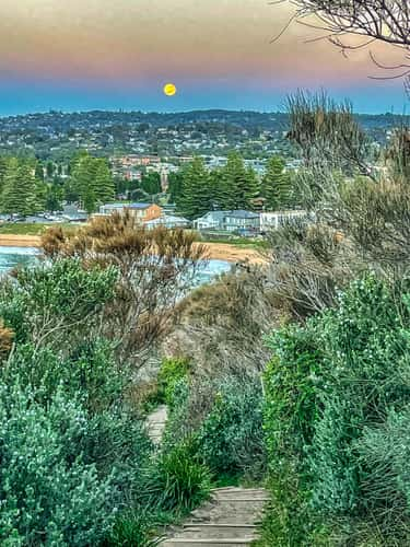
Moon Set on the path at Mona Vale Headland, NSW
399.93 km to location
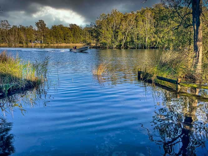
Speed boat narrabeen Lagoon, Narrabeen, Sydney
397.4 km to location
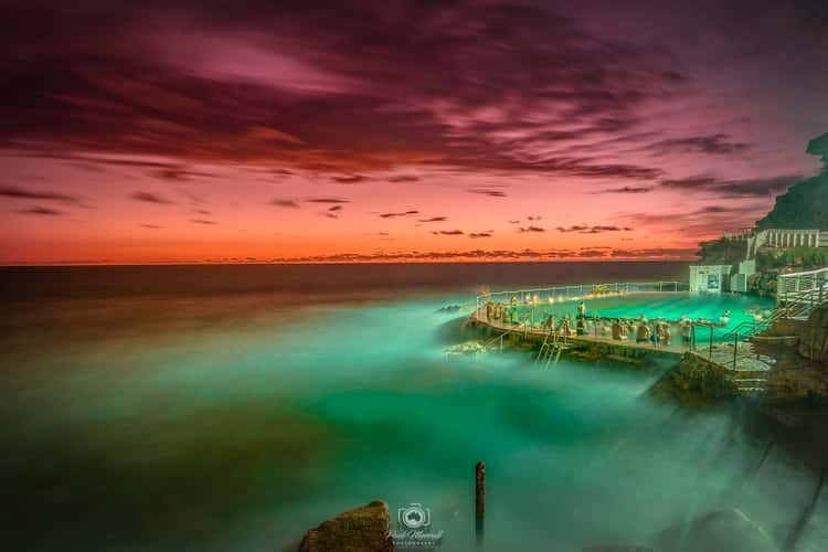
sunrise over the coastal pool
391.69 km to location
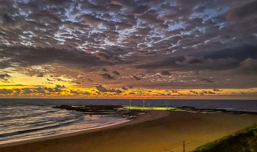
The Pool sunrise, Mona Vale, Northern Beaches, Sydney
399.58 km to location
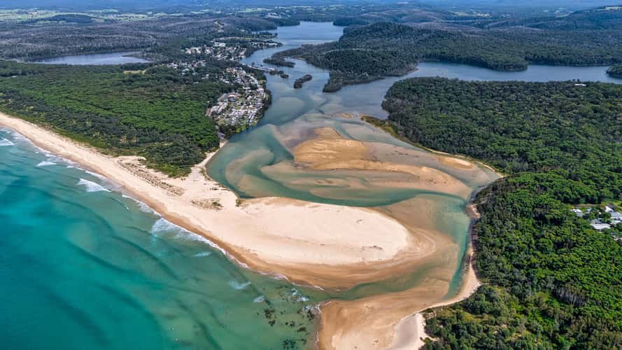
Sand Bar Lake Conjola, South Coast, NSW
338.33 km to location
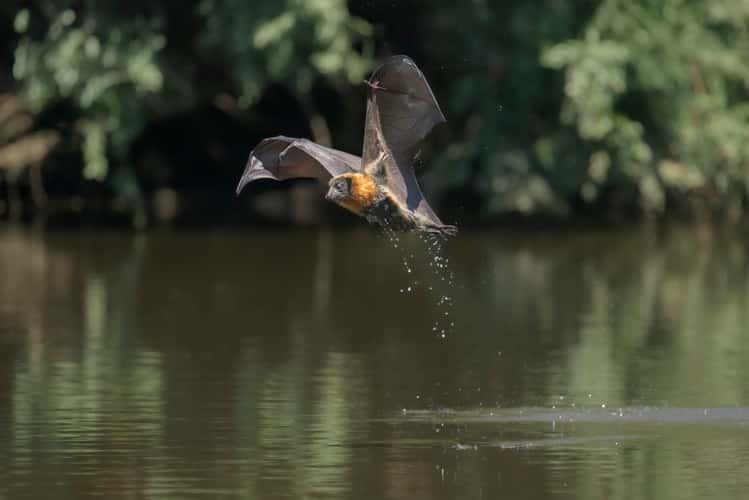
Parramatta Bats
368.49 km to location
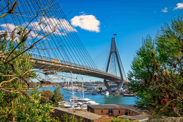
Through the trees, ANZAC Bridge, Glebe, Sydney, NSW
384.78 km to location
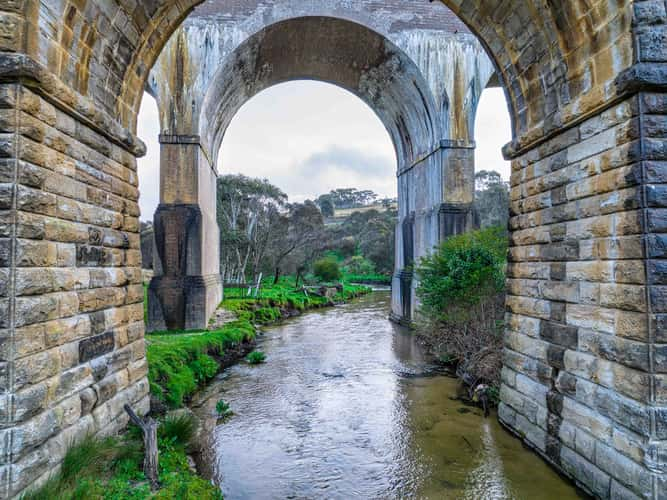
River under Farmers Creek Railway Viaduct, Lithgow, NSW
297.79 km to location
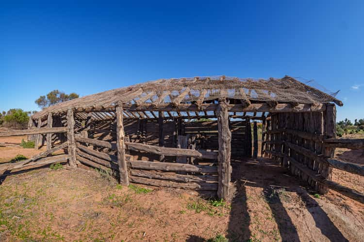
Zanci Shearing shed ruin.
373.12 km to location
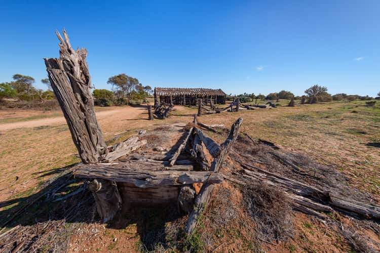
Zanci Shearing shed ruin.
373.12 km to location