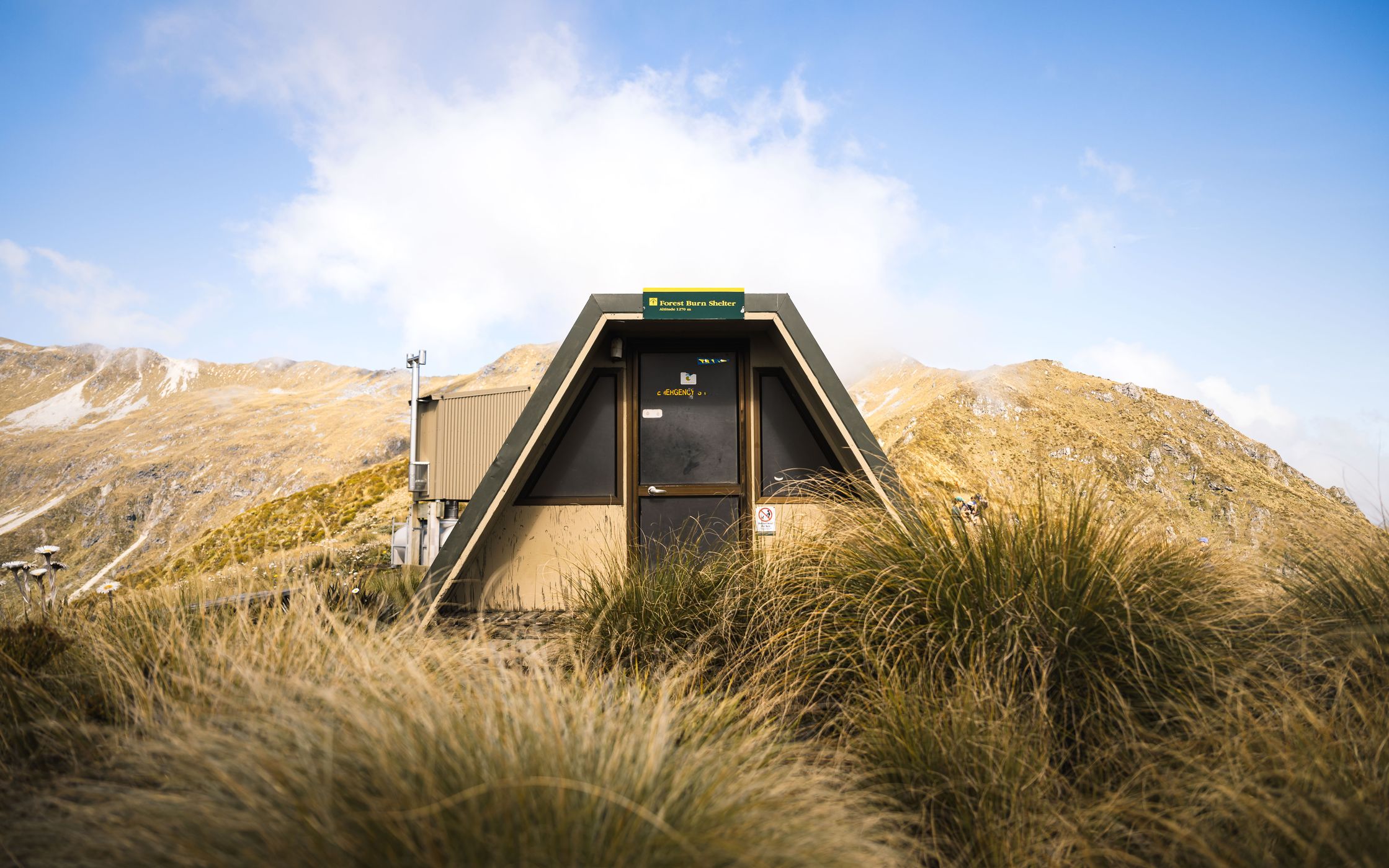


Forest Burn Shelter, New Zealand
Sebastian Lehrke
Sebastian Lehrke www.sebastianlehrkepho…
licensable
This photo is copyrighted by the author.
Thank you for respecting the rights and efforts of our photographers. Please contact the author for further information.

New Zealand Forest Burn Shelter

  • Please log in or sign up for free to see the GPS coordinates & weather for this photo spot
Forest Burn Shelter is a small backcountry shelter on the Kepler Track, located above the bushline in the alpine section between Luxmore Hut and Iris Burn. Surrounded by tussock-covered slopes and sweeping mountain views, it provides a welcome rest stop in one of the track's most scenic areas.

Photography Tips

Take some grass in the foreground to show the typical surroundings and give it some nice framing.

Travel Information

Forest Burn Shelter is only accessible on foot via the Kepler Track. It lies approximately 16 km from the Kepler Track car park near Te Anau and is typically reached on the first or second day of the multi-day hike.
Spot Type Outdoor
Crowd Factor Just a few people
Best Timing Summer
Sunrise & Sunset 08:22 - 17:29 | current local time: 03:42
Photo Themes Hut Mountain Mountain Hut Mountain View shelter

Get the exact geo-position for this spot

Log in to see the GPS coordinates, sun directions, and the map for this photo spot. Or simply bookmark it along with other spots to plan your next trip.

Spot comments (0)

Please log in or sign up for free to leave a comment or ask a question.

Ratings (1) star star star star star

star star star star star
0
star star star star star
1
star star star star star
0
star star star star star
0
star star star star star
0

Popular photo spots in this region

Thank you Sebastian Lehrke for creating this photo spot in New Zealand.
Imprint & Contact © Locationscout 2026 Privacy / Terms