
Norway Mount Hornelen
Beatiful view but hard hiking. It's about 4 hours of hiking and step terrain.
Photography Tips
I used full frame camera and 24-105 lenses
Travel Information
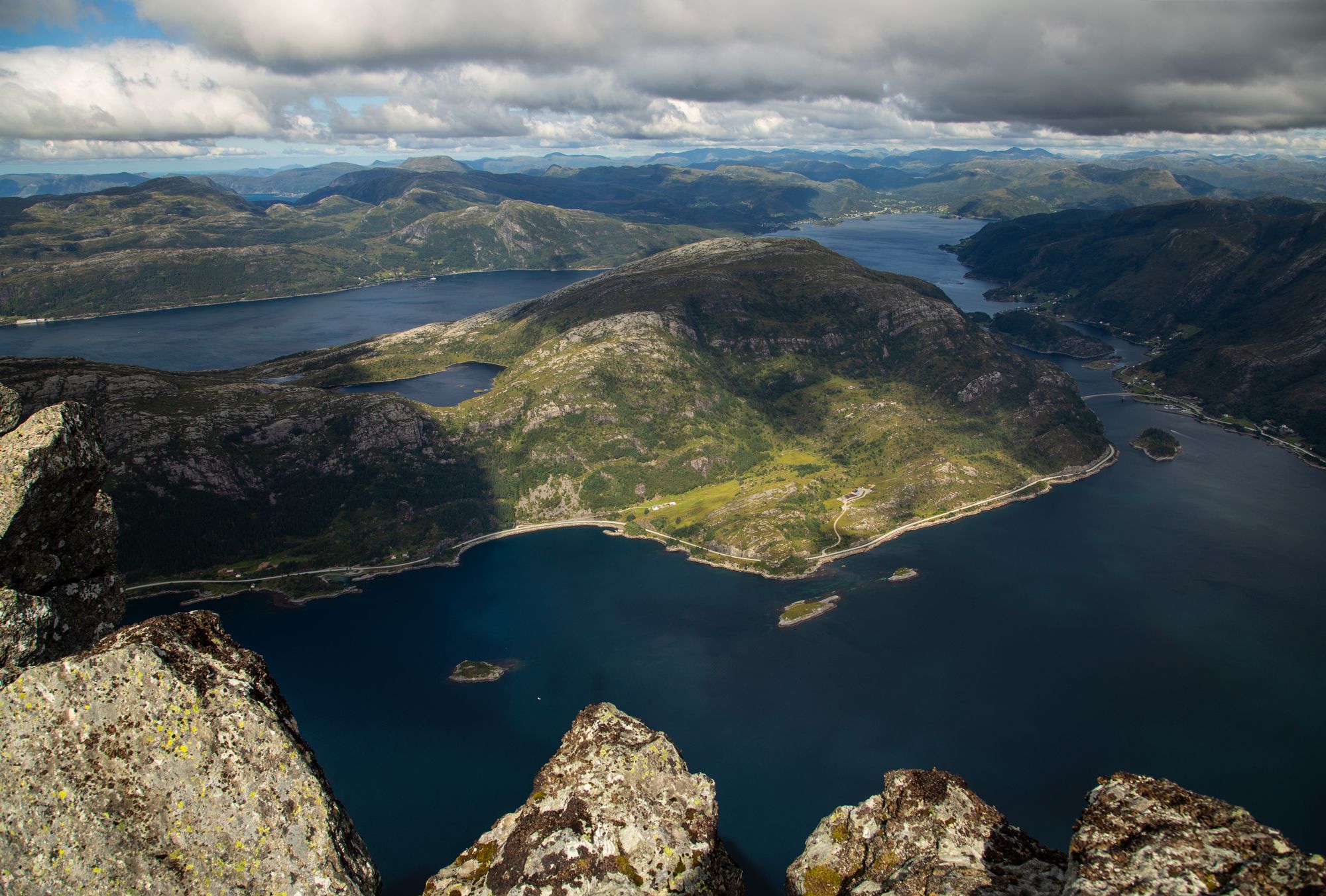
Start at the end of the road at Hunskår. The trail is sign posted with red T’s and stones. Go in the same direction as the road, over the Ramarhammaren, then you make a turn towards southwest. The first part of the trail can be a bit moist, but after a while the trail will be dry. The trail up towards 500 meters above sea level is steep walking on grass and moors. You will have a great view to Skatestraumen, Rugsund and Måløy. Further up you will reach a lake where you might stop for a longer break and enjoy some of your lunch. Further there is a part of the trail which is characterized by more rocky terrain. The last part is as steep, a small hill and then steeper again before you reach the top.
Spot Type
Outdoor
Crowd Factor
Just a few people
Best Timing
Daytime in summer
Sunrise & Sunset
04:33 - 22:57
| current local time: 05:40
Photo Themes
Fjord
Mountains
Locations
Rugsundoya


Spot comments (0)