![Knuten [drone], Norway](https://images.locationscout.net/2022/12/knuten-drone-norway-mal0.webp?h=1400&q=83)

Norway Knuten [drone]
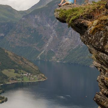
The peculiar road construction, given the name Knuten - the "knot" - stands precisely as it was built in 1882. This construction was created in connection with the works on Geiranger road. The aim was to gain height and overcome difficult terrain obstacles The stone construction is a testament to engineering excellence and is an important memorial to the road pioneers who built Gerianger Road in 1881-1889.
Photography Tips
The best results can get achieved with a drone to capture the unique shape of this construction. A person can add a nice sense of scale to the image. Vehicles are not allowed on it anymore!
Travel Information
You can park your car very closely and just outside the frame. It's okay to walk on it, but it's closed to vehicles.
Spot Type
Outdoor
Crowd Factor
Just a few people
Best Timing
Sunrise
Sunrise & Sunset
05:18 - 21:38
| current local time: 15:16
Photo Themes
Mountain
Mountain road
Locations
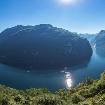
Geiranger
Geirangerfjord

Spot Comments (0)