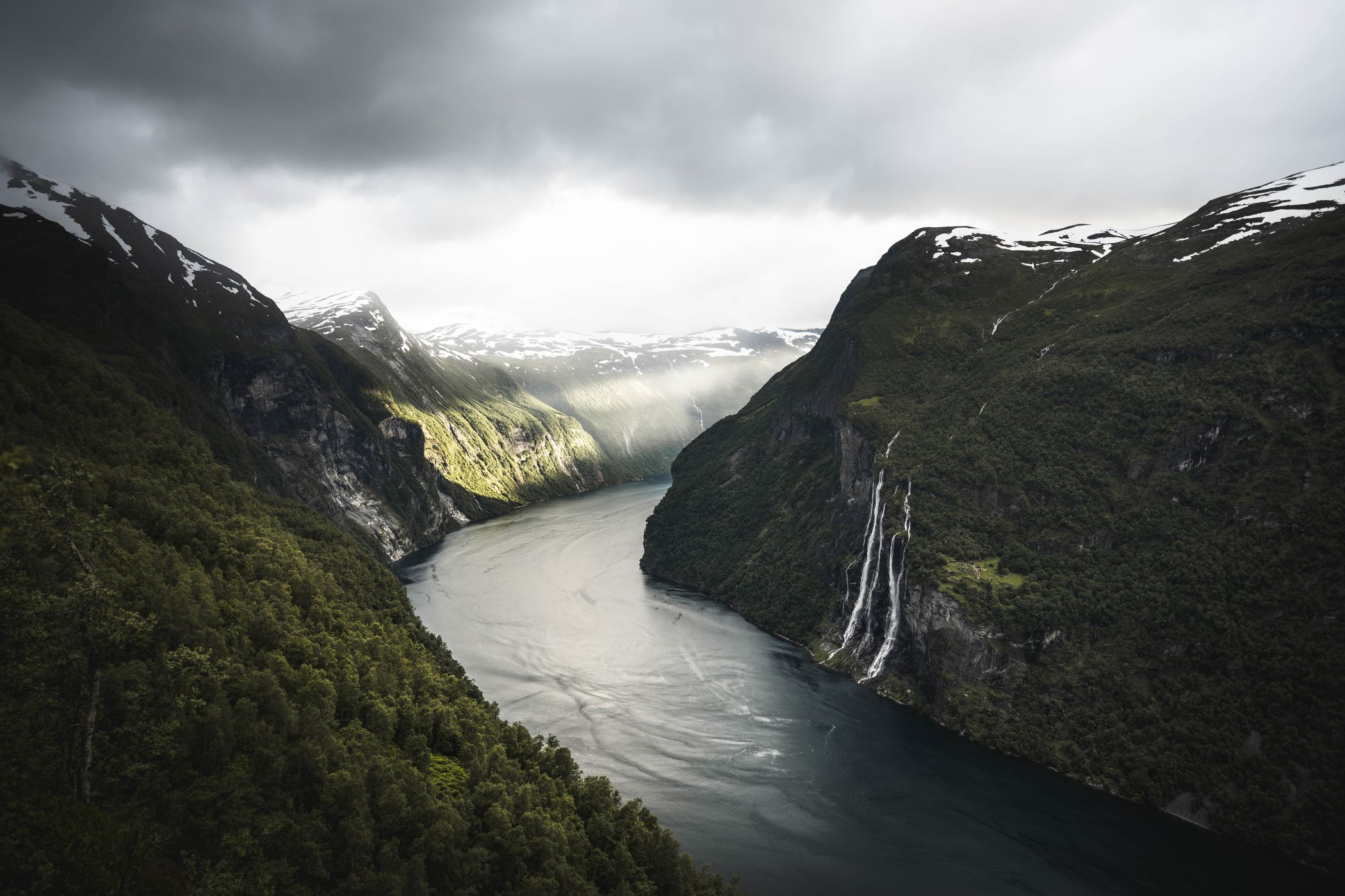

Norway Geiranger Fjord, Geiranger
The Geiranger Fjord is one of the biggest Fjords in Norway. The sheer scale of this place is unbelievable. Some hiking trails lead you to places where you will barely find any people.
Photography Tips
Check the actual drone regulations before flying. If you fly around in that area, it's recommended to use a panoramic (9photo) shot to get these massive landscapes shown.
Travel Information
A small ship is available to get to a small peer close to the village of Skagefla. However, taking the hiking path from Geiranger itself offers many great views. It will take you 560m in height and a distance of 4.4km (in and out) to get there. Paid parking is at the trailhead.
Spot Type
Drone
Crowd Factor
Just a few people
Best Timing
Sunset in summer
Sunrise & Sunset
04:23 - 22:52
| current local time: 18:56
Photo Themes
Fjord
Mountains
Nordish
Waterfall
Locations
Westfjorden
Geiranger
Westfjords
De syv søstrene


Spot comments (0)