


Portugal Leading Land
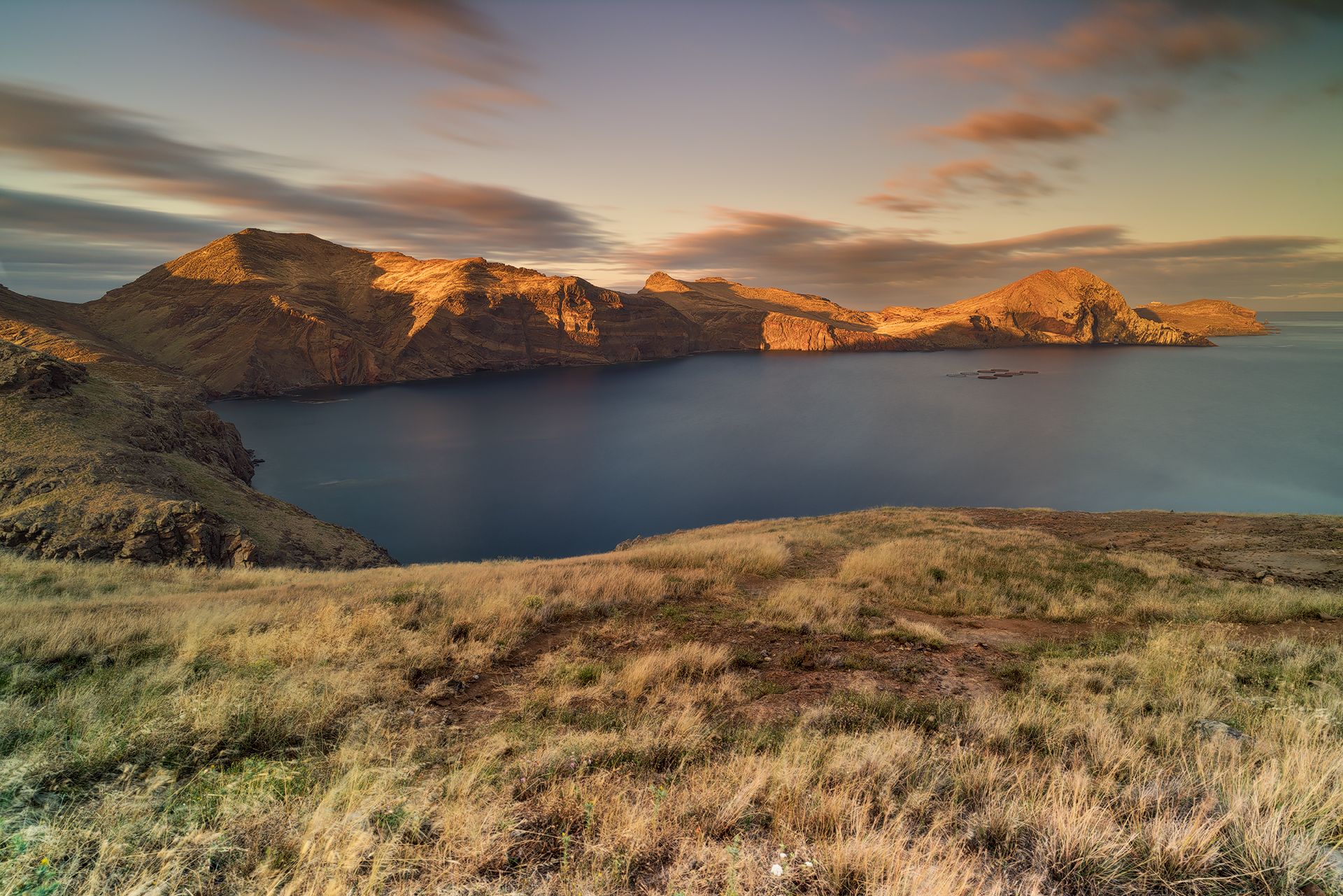
Ponta de São Lourenço is a striking and ecologically rich peninsula located at the easternmost tip of Madeira Island, Portugal.
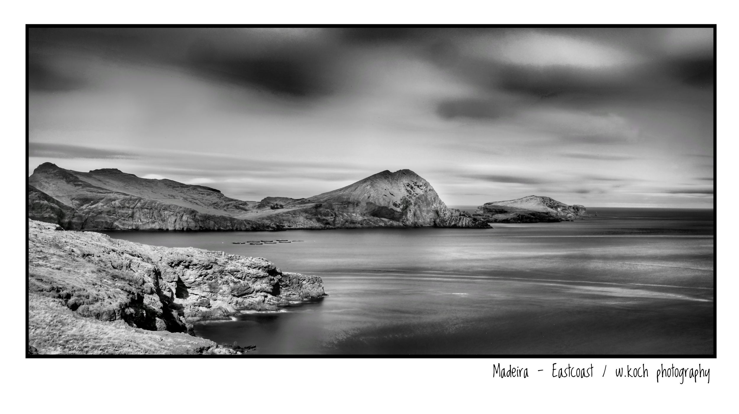
It lies within the town of Caniçal and is part of the municipality of Machico. The area is characterized by rugged volcanic formations, cliffs, and a semi-arid climate. Unlike the lush greenery typical of Madeira, São Lourenço features sparse vegetation dominated by low-lying herbaceous plants and creepers.
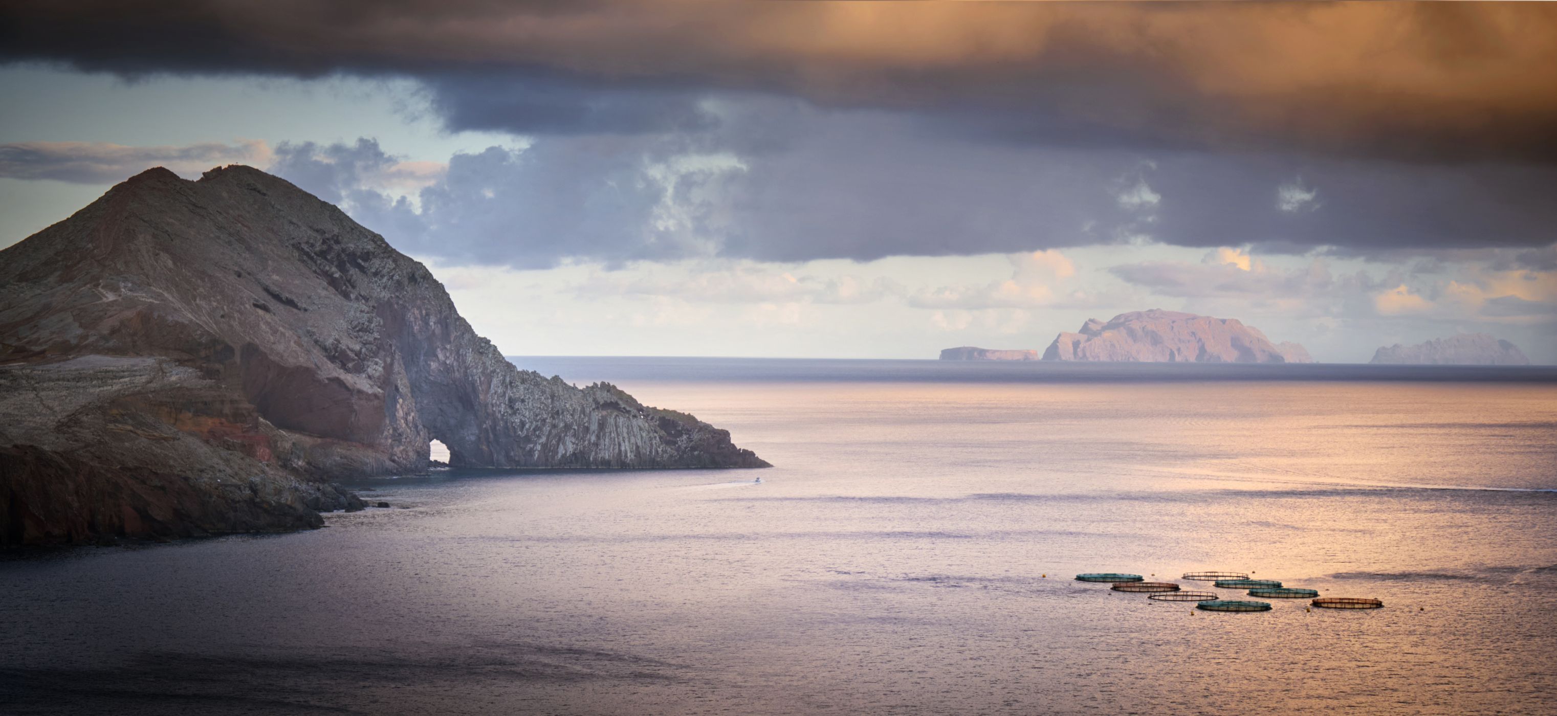
The peninsula stretches approximately 9 kilometers and includes nearby islets such as Ilhéu da Cevada and Ilhéu do Farol.
It lies within the town of Caniçal and is part of the municipality of Machico. The area is characterized by rugged volcanic formations, cliffs, and a semi-arid climate. Unlike the lush greenery typical of Madeira, São Lourenço features sparse vegetation dominated by low-lying herbaceous plants and creepers.
The peninsula stretches approximately 9 kilometers and includes nearby islets such as Ilhéu da Cevada and Ilhéu do Farol.
Photography Tips
Photographing Ponta de São Lourenço in Madeira offers stunning opportunities thanks to its dramatic cliffs, volcanic textures, and sweeping ocean views.
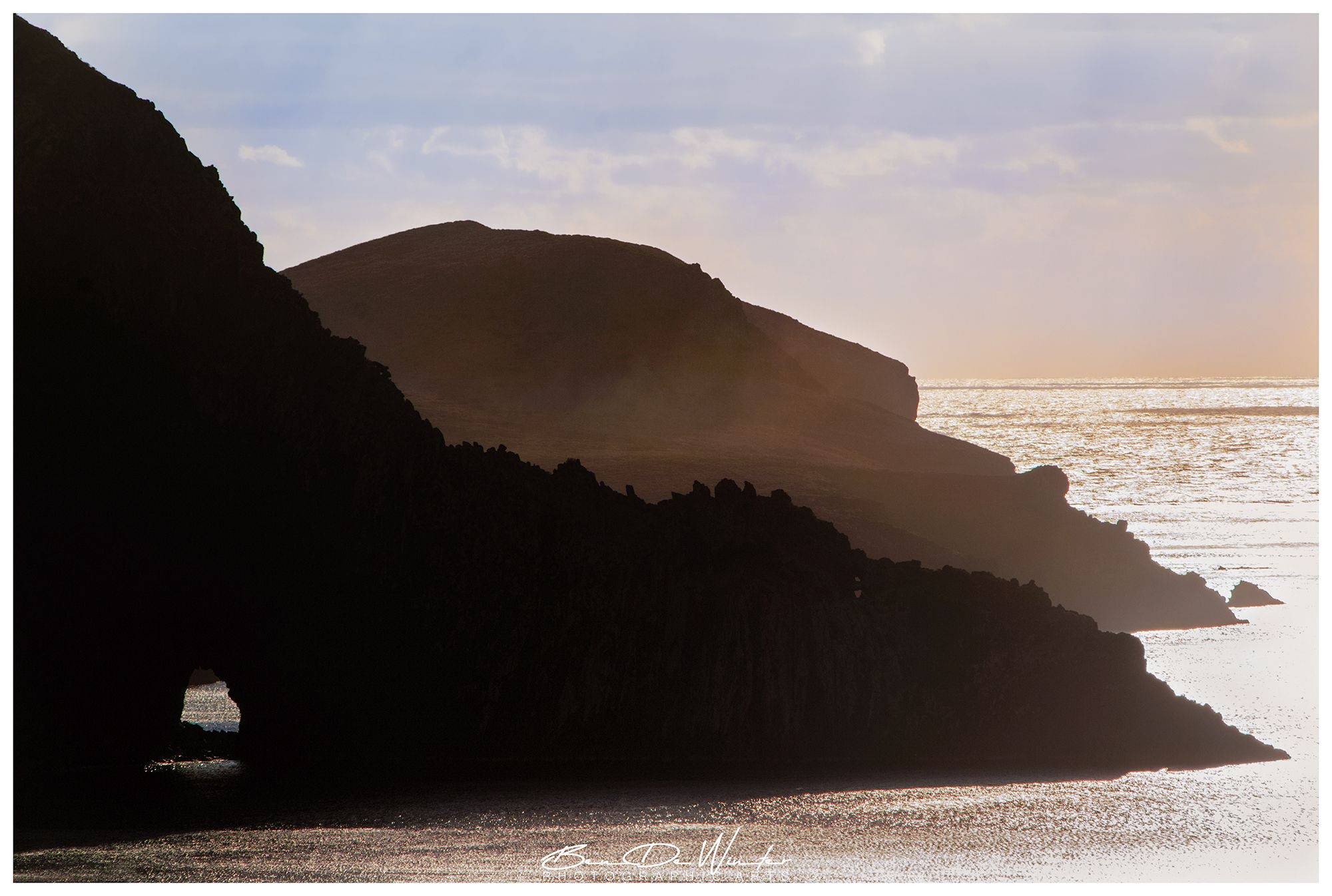
Best Times to Shoot are early mornings or late afternoon when light adds warmth and depth to the rugged landscape.
Sunrise can be magical from the eastern tip, with the sun rising over the Atlantic.
Bring your ND filters and CPL.
Best Times to Shoot are early mornings or late afternoon when light adds warmth and depth to the rugged landscape.
Sunrise can be magical from the eastern tip, with the sun rising over the Atlantic.
Bring your ND filters and CPL.
Travel Information
You can easily reach the place with your car and there are several parking places. Near the carpark (100 m).
Spot Type
Outdoor
Crowd Factor
Just a few people
Best Timing
Sunrise
Sunrise & Sunset
07:12 - 21:14
| current local time: 03:43
Photo Themes
Landscape
Locations
Madeira
Ponta de São Lourenço


Spot comments (0)