Ponta de São Lourenço Cliffs, Portugal
Patrik
Patrik www.patrikorcuttphoto.…
licensable
This photo is copyrighted by the author.
Thank you for respecting the rights and efforts of our photographers. Please contact the author for further information.

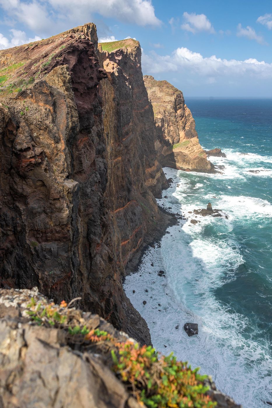
Portugal Ponta de São Lourenço Cliffs

  • Please log in or sign up for free to see the GPS coordinates & weather for this photo spot
Ponta de São Lourenço is the easternmost point of the island of Madeira. It is inside the town of Caniçal and forms a part of the municipality of Machico. Its terrain is made up of rocks and herbaceous vegetation.

Travel Information

A 1-hour hike is required to get to this spot from the parking lot.
Spot Type Outdoor
Crowd Factor No info yet
Best Timing All timings are equally good
Sunrise & Sunset 07:23 - 20:45 | current local time: 19:03
Photo Themes Lanscape
Locations Madeira

Get the exact geo-position for this spot

Log in to see the GPS coordinates, sun directions, and the map for this photo spot. Or simply bookmark it along with other spots to plan your next trip.

Spot Comments (0)

Please log in or sign up for free to leave a comment or ask a question.

Ratings (0) starstarstarstarstar

Popular photo spots in this region

Thank you Patrik for creating this photo spot in Portugal and Mia Pflieger for improving it with additional photos or content.
Imprint & Contact © Locationscout 2024 Privacy / Terms